Mt Hutt Holds Deepest Base in Southern Hemisphere with 95% Terrain Open
Updated July 30, 2025: Australia buried under 60cm (24") of snow, Argentina’s Andes awaken, and Chile eyes a metre (40") more. Read the full report here.
- Australia Buried in 60cm Snow Dump; All Lifts Spinning at Top Resorts
- Argentina’s Andes Finally Deliver: Major Snowfall Transforms Season Outlook
- Chile’s Southern Resorts Score Big; Up to a Metre More in Forecast
- Freeride Events, Record Chairlift Openings Mark Epic Week for Aussie Slopes
SOUTHERN HEMISPHERE INTRO
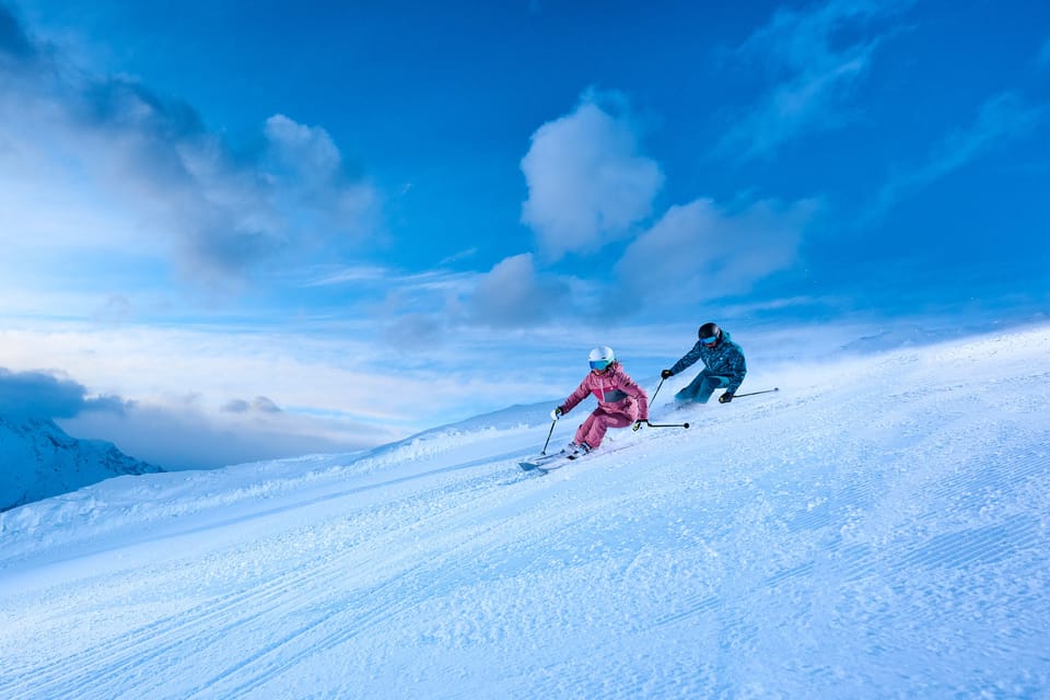
There have been some good snowfalls reported in most mountainous parts of the Southern Hemisphere this week. The snow hasn't just been floating down, though; it's been stormy for many areas, with full-on winter making a comeback after the more settled conditions of mid-July.
The snowfall has been particularly welcome in the Andes after several fairly dry weeks in Chile, whilst most ski areas on the Argentinian side of the range had had limited snowfall all winter. Some has fallen already, and there’s much more in the forecast. In Australia, the fresh snow has further improved what were already above-average conditions there, with up to 60cm (two feet) reported in the past week. In New Zealand, skiers have been making the most of the freshies too.
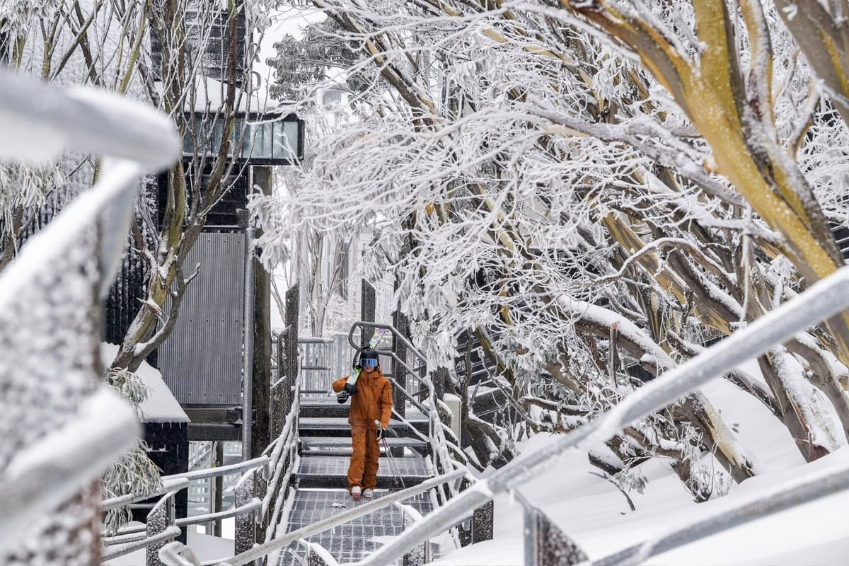
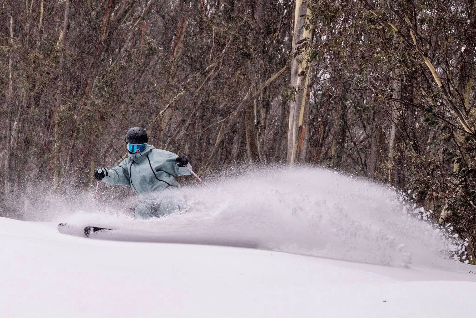
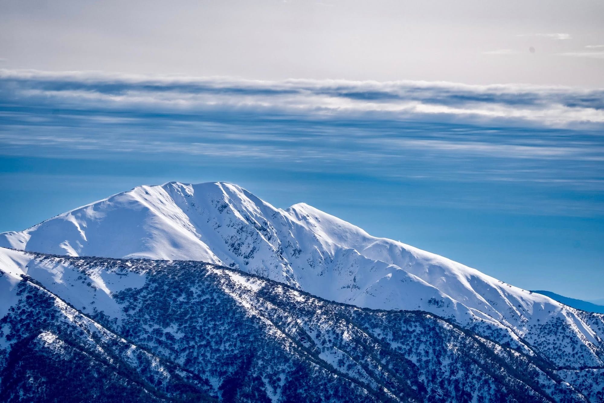
AUSTRALIA REPORT
It has been another great week on Australian ski slopes. After posting 10–20cm (4–8”) accumulation going into the weekend, the snowfall got heavier to start the new week, reaching up to 60cm (24”) and taking more resorts through the metre (40”) base level mark, allowing more terrain to open. Hotham (100/125cm / 40/50”) got all of its lifts turning for the first time this season on Sunday.
"The 2025 snow season has been exceptional, and it just keeps getting better," said Alex Pankiw, Hotham's Field Marketing Specialist, on Sunday. "We've had close to 30cm of fresh snow in the last couple of days, 12cm overnight. It's still coming down, and our snow base is at 113cm at Hotham. Conditions are great and skiers and boarders are loving it at Hotham."
The new terrain now open includes that served by the iconic Orchard chairlift, opening up the edgier terrain that Hotham is famous for.
The news wasn't all just light powder floating down, though. Strong winds closed lifts at times, with many posting wind speeds in excess of 160kph (100mph), and Mt Buller reporting a 200kph (125mph) gust. Skiers at Falls Creek also noted the snow was heavier and wetter in places.
“The entire village has transformed into a true alpine wonderland," said Betony Pitcher, Falls Creek’s Field Marketing Manager, on Monday. "It's like stepping into a snow globe right now, and the resort is in great condition with 100% of lifts spinning and a huge offering of progression-perfect terrain for all abilities. From mellow greens to steep blacks, every turn is riding beautifully. Groomers have been laying down pristine corduroy, while off-piste areas are filling in with each flake that falls."
Amongst all the snowfall, the big events of the last seven days included Perisher having the official opening of the country’s new highest chairlift—complete with traditional smoking ceremony and dances—and Hotham hosting a Freeride World Tour qualifier.
Besides Hotham, Falls Creek (70/120cm / 28/48”) is also through the metre base mark, joining Thredbo (60/125cm / 24/50”), the only centre to previously reach that stat this season. The sunshine started to return on Monday/Tuesday, but it has stayed cold with lows around -8°C overnight and daytime highs not getting much above freezing.
AUSTRALIA FORECAST
It’s expected to stay largely dry with plenty of sunshine for the remainder of the week. Overnight lows as far down as -10°C, but daytime highs getting up to +5°C.
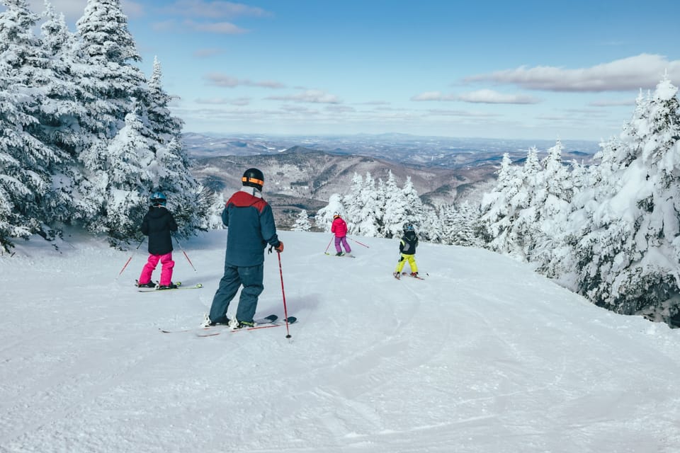
NEW ZEALAND REPORT
New Zealand ski areas have had a mixed week of snow showers and sunny spells, with some strong winds at times thrown into the mix. South Island ski areas are posting their best stats of the season to date in terms of both base depths and open terrain.
North Island resorts are still battling to open much due to limited snowfalls so far, but Turoa (35/40cm / 14/16") in particular has managed to get 4km (2.5 miles) of runs open now—a little over 10% of its terrain, up from less than 5% a week ago. Its fellow Mt Ruapehu resort, Whakapapa (30/35cm / 12/14”), isn't looking so good.
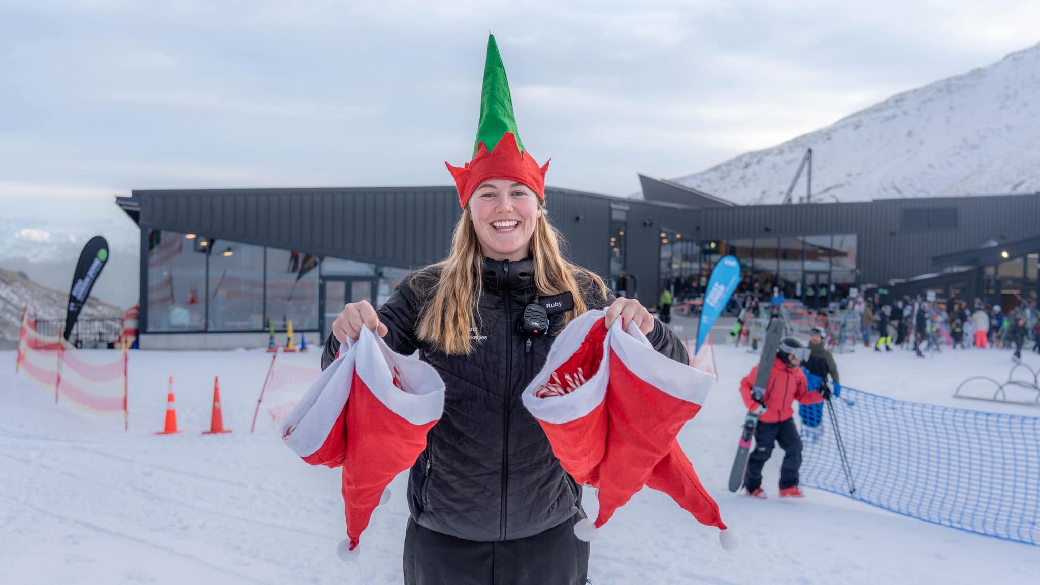
Things remain good on the South Island, where 'Christmas in July' was celebrated at several centres at the weekend. Mt Hutt (120/160cm / 48/64") continues to post the deepest base in the Southern Hemisphere and has more than 95% of its terrain open. Cardrona (45/80cm / 18/32"), Coronet Peak (20/90cm / 8/36"), and The Remarkables (30/100cm / 12/40”) are also posting 80–90% of their slopes open. It's not looking so promising for small centres at present, though, with several—including Temple Basin and Mt Lyford—currently closed whilst awaiting more snowfall. Mt Dobson (55/65cm / 22/26"), however, is 100% open.
NEW ZEALAND FORECAST
It’s looking mostly dry and sunny for the rest of the week, with temperatures in the -5 to +5°C range. More chances of snowfall for the North Island, although other than a midweek dump underway as we publish this week, not too much more is expected—just a few centimetres towards the weekend.
ARGENTINA REPORT
After a sluggish start to the season—aside from the far south—Argentina’s ski regions have finally seen the major snowfall they’ve been hoping for. This past week, moisture-rich weather systems swept across the Andes, bringing substantial accumulations of 50cm (20") or more at several resorts.
As a result, operators have expanded terrain access well beyond the meagre 5–25% they'd been able to offer until now. Conditions haven’t been particularly cold, meaning some lower slopes received rain or sleet instead of snow. However, overnight temperatures continue to dip below freezing across all elevations, and a gradual cooling trend through the week has helped improve coverage. Cerro Castor (70/85cm / 28/32”) in the country's southernmost reaches has stood out with close to a metre of snow on the ground and over 75% of its terrain already open—resembling a more typical winter pattern even before the latest snowfall.
ARGENTINA FORECAST
It's looking good for more significant snowfalls—as much as 10–20cm (4–8”) daily—over the remainder of this week. Sunny spells between showers. Temperatures -8 to +4°C.
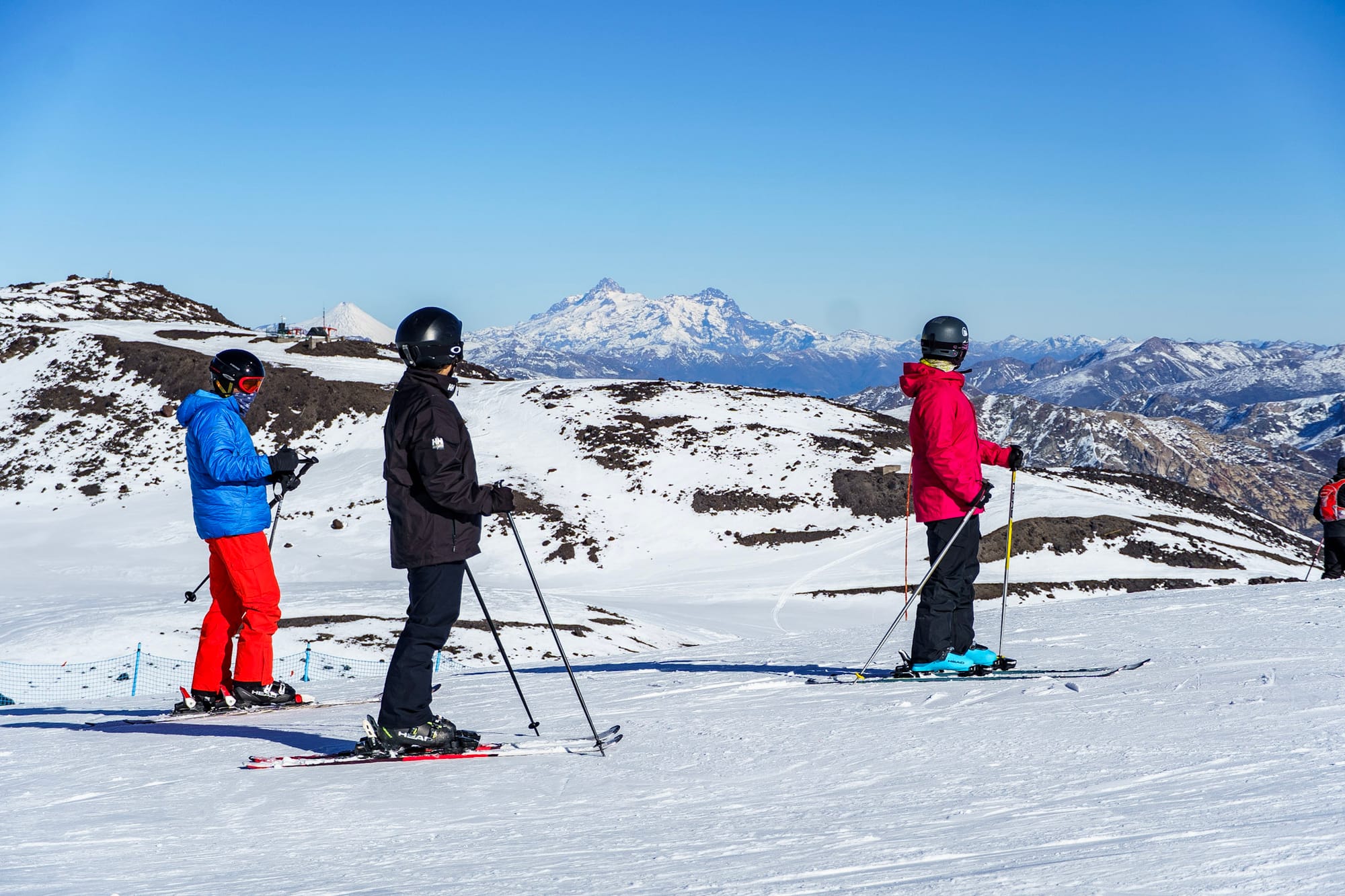
CHILE REPORT
Chile has had one of its best weeks this month in terms of snowfall, particularly at its southern resorts like Nevados de Chillán (50/120cm / 20/48”). Northern areas have stayed comparatively dry, but base depths remain healthy at resorts such as Portillo (30/125cm / 12/50”) and Valle Nevado (20/80cm / 8/32”), both of which have most terrain open despite losing some of their earlier snow depth over recent weeks of predominantly dry, sunny weather.
At the weekend, Valle Nevado confirmed the launch of its 2025 heli-skiing operations—a positive milestone following the recent snowfall.
"From glacial peaks to deep canyons and ridgelines, Valle's terrain is both massive and majestic," said Richard Margulis, General Manager of Valle Nevado. "With the first runs just a 5-minute flight from the resort, our guests maximise their time on the snow in one of the world's most awe-inspiring alpine environments."
The main caveat has been milder daytime temperatures around +8°C to +9°C at lower elevations, resulting in some precipitation falling as rain or sleet on the base-level runs. Overnight lows continue to dip below freezing, helping preserve the snowpack.
CHILE FORECAST
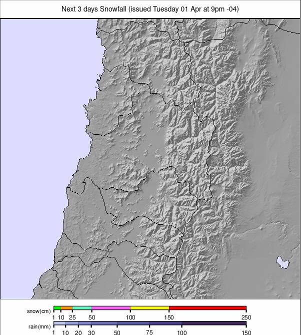
The mostly cold, sunny weather in the north will continue for the next few days, but another front will bring up to a metre (40") of snowfall in the run-up to the weekend at northerly Chilean ski areas. That forecast does keep changing, but hopefully, there’s something significant on the way. Further south, it's expected to remain snowy. Temperatures are expected to be in the -10 to +4°C range.
LESOTHO REPORT
Following last week’s cloud cover and a light dusting of natural snow, it’s been bluebird skies and uninterrupted sunshine across Lesotho’s ski slopes. Afriski reports that its main run remains fully open and in solid condition as the resort heads into the final month of its season.
Night-time temperatures continue to remain cold enough for snowmaking as required, plunging well below freezing every night—typically to around -5°C, with occasional lows nearing -10°C—helping preserve the snowpack despite the daytime warmth.
LESOTHO FORECAST
The outlook for the coming week promises more sunshine and stable conditions, with overnight lows again down towards -5°C, daytime highs +4 to +8°C.