Snowfall Returns to The Alps
Snowy conditions are set to return to the Alps (as well as the Dolomites, Pyrenees, Scandinavia and Scotland) after a relatively peaceful week where many areas were able to ‘regroup’ following the extremely heavy snowfall in the Western Alps and storm conditions in the first 10 days of 2018.
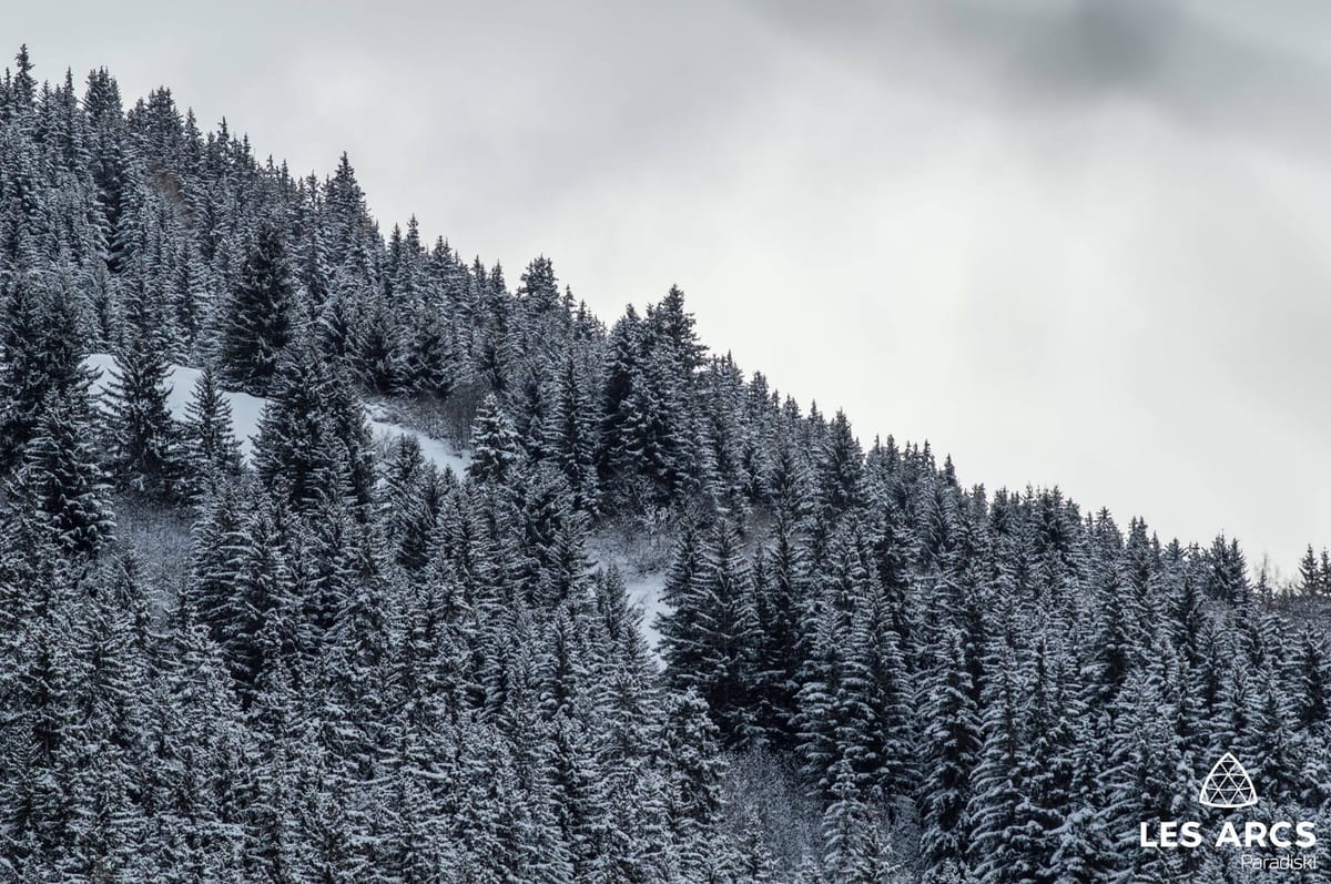
Snow has already begun falling in many areas with a few dozen resorts, mostly in Switzerland, reporting up to 25cm of fresh snow in the last 24 hours, bringing to an end a period of blue skies for many.
The snowfall will also be accompaniued by strong top gale force winds at times.
Many areas are expected to get 40-60cm, in most cases with the heaviest snow on Wednesday and Thursday; although some will see constant snow through the three days, some heavy snow on Wednesday and Friday with a lull on Thursday.
Pssst, on vous embarque pour un instant féerique, vous venez? ✨🔻Pssst, we are taking you for a magic moment, are you coming? ✨
Posted by Val d'Isère on Dienstag, 16. Januar 2018
Some of the resorts that have had some of the heaviest snow already may get the biggest accumulation from the latest snowfalls. Val d’Isere is expected to get around 90cm more snow, Chamonix 80cm in total.
It declared today an official ‘Bad Weather Day’ giving certain rights to lift pass holders and has cancelled World Cup Races that had been scheduled over the next few days.

The Portes du Soleil, one of the areas to report 25cm of fresh snow overnight, is expected to get another 60cm+ of new snow by the weekend.
Zermatt, which was cut off by snow for a period a week ago, with up to two metres of snow falling, is forecast to receive rather less though, about 45cm more.
Engelberg, with the deepest snow base in the world at present on 5.1m (17 feet), may get another half metre of snow by the end of Friday.


