North America Weekly Snow Roundup #299
Weekly Snow News for North America, updated January 28, 2026: Storm Fern transforms eastern conditions, creating one of the strongest mid-winter resets in years.

- Winter Storm Fern reshapes eastern ski conditions
- Northeast and Midwest emerge as standout regions
- Western resorts remain dry and spring-like
- Canada holds deep bases under intense cold
North America Snow Report and Ski Conditions 2025/26
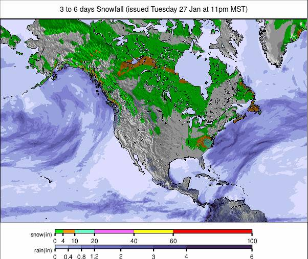
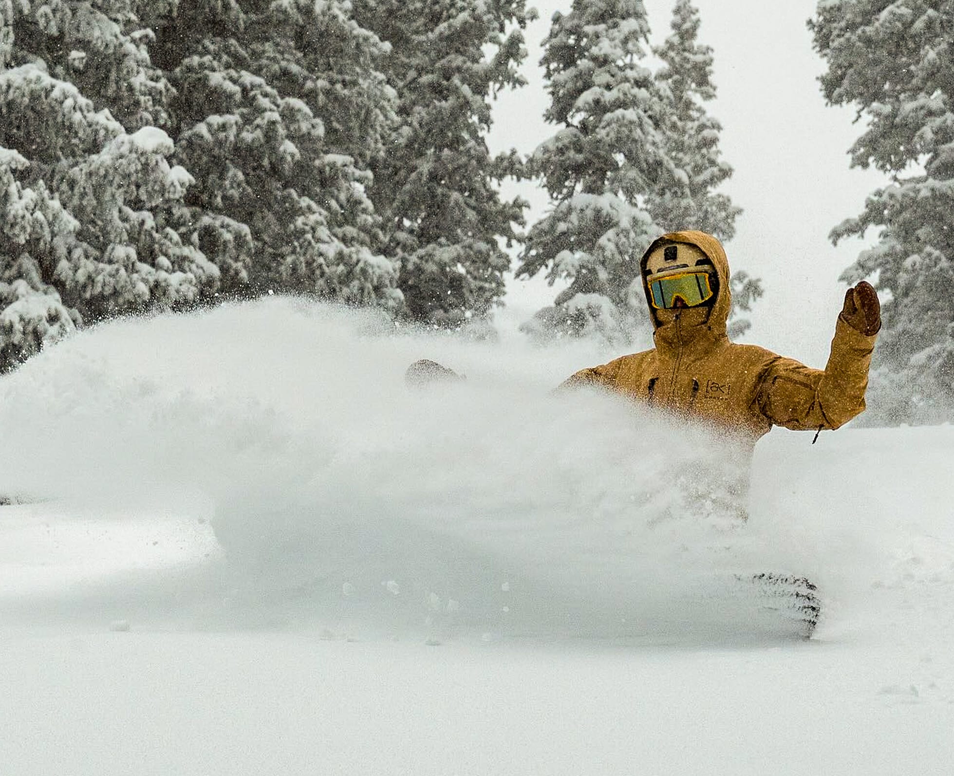
Winter Storm Fern has been the defining North American weather event of the past week, sweeping across the continent between January 22–26 and carving an unusually long corridor of wintry conditions from the Four Corners through the Midwest and into the Northeast and Eastern Canada. At its peak, Fern spanned close to 2,000 miles, delivering 1–2 feet of snowfall to wide areas, heavy icing across parts of the South, and evolving into a full Nor’easter as it reached New England.
The storm brought major disruption, with more than 10,000 flights cancelled and over one million customers losing power. From a ski perspective, however, Fern has been transformative. Its combination of widespread snowfall followed by sustained cold has delivered a genuine mid-winter reset across the eastern half of the continent, disproportionately benefiting smaller eastern resorts where snow preservation matters as much as snowfall totals.
While much of the western United States remains locked in a dry, often spring-like pattern, Fern has sharply widened the east–west divide, making the Northeast and parts of the Midwest some of the most compelling places to ski right now.
Eastern United States Snow Report and Ski Conditions
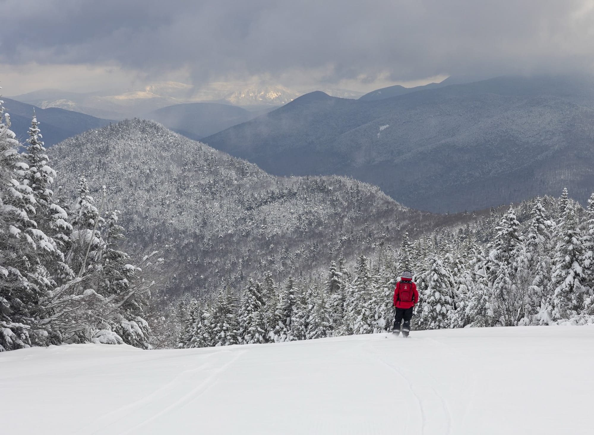
Storm Fern’s most significant ski impact has been felt across the U.S. East Coast. Its Nor’easter phase delivered substantial snowfall to Vermont and surrounding states, lifting base depths and transforming what had been variable early-season conditions into properly skiable, cold-preserved terrain. Jay Peak, Vermont, reports close to 100% of lifts open with snow depths of around 24 inches at the base and 60 inches up top, following 23–34 inches of snowfall over the past week. Stowe is about 85% open with roughly 30 inches at the base and 50 inches at higher elevations, while Sugarbush continues to open terrain rapidly after picking up around 20 inches over the past six days. Smaller resorts have also benefited significantly. Elk Mountain in Pennsylvania has seen some of the best mid-season conditions in years, while Loon Mountain in New Hampshire reports sharply improved coverage and terrain availability thanks to Fern’s snowfall and sustained cold.
Midwest Snow Report and Ski Conditions
Midwest ski areas have held up well this week, with Storm Fern delivering widespread snowfall followed by a prolonged period of bitter cold. Light snow and lake-effect bursts around the Great Lakes have continued to top up bases, while temperatures have remained firmly sub-freezing. Cascade Mountain, Wisconsin, reports 100% of its trails open, while Crystal Mountain, Michigan, is also fully operational. Conditions are firm and reliable, although the cold has been intense enough that some resorts have curtailed late-day and night skiing for safety reasons.
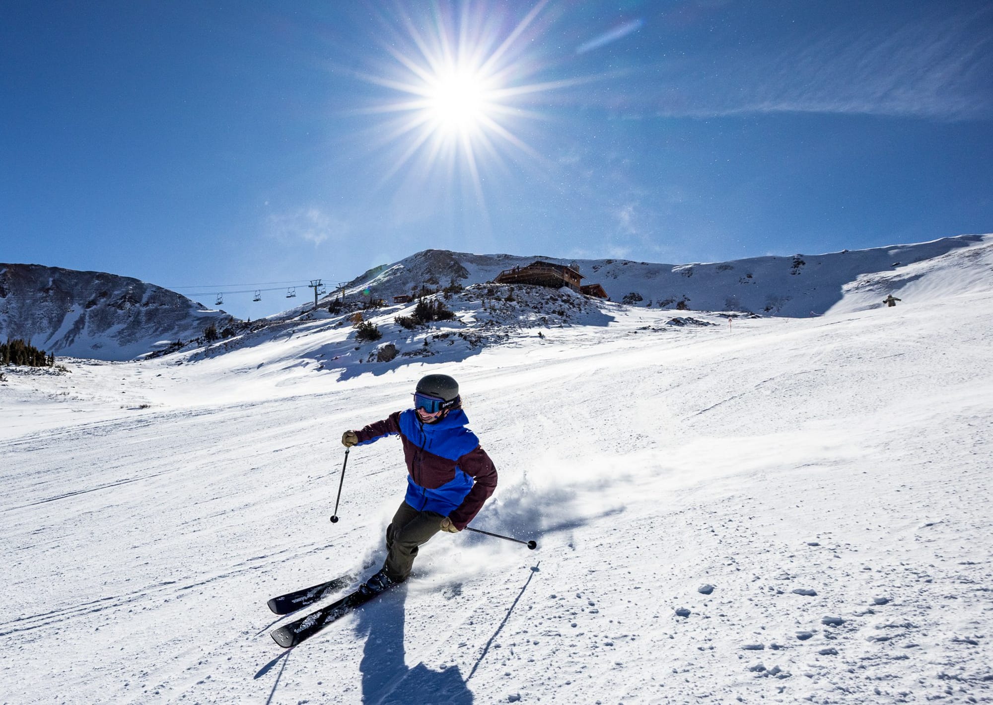
Western United States Snow Report and Ski Conditions
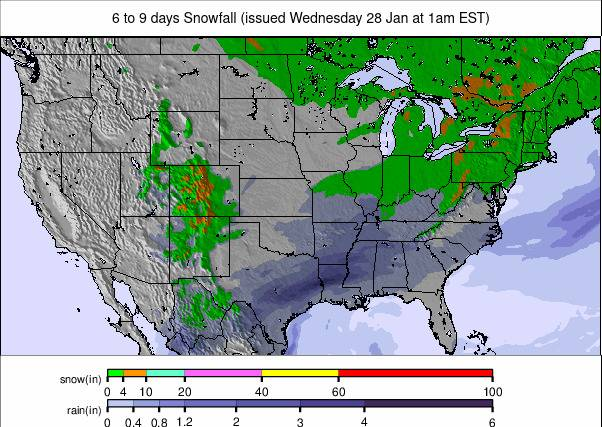
There has been little change across the western United States, with another week of largely dry, often sunny weather. Many resorts continue to rely on earlier-season snowfall and grooming rather than fresh accumulation, although operationally they remain close to full terrain availability. California remains one of the stronger western regions after significant snowfall between Christmas and early January. Mammoth Mountain continues to post some of the strongest snow depth statistics in the country, while Oregon and Washington continue to struggle at lower elevations. Farther north, Alaska remains reliably cold, with Alyeska reporting around two-thirds of its terrain open.
Western U.S. Weather and Snow Forecast
The Pacific Coast remains locked in a mild, spring-like pattern, with daytime base temperatures commonly reaching the 40s and 50s °F. Sunshine dominates, natural snowfall is minimal, and surface softening continues on lower and south-facing slopes.
Rocky Mountains Snow Report and Ski Conditions
The Rockies have seen a mix of mild days at base level, colder nights and several light snow pulses across higher terrain. Summit temperatures have fluctuated between 10–30 °F, with base areas often reaching into the 40s and 50s. Big Sky is now over 90% open, with terrain availability similar to Park City. Colorado resorts picked up 6–12 inches after a dry spell, while farther south New Mexico saw heavier totals, including around three feet at Ski Apache.
Rocky Mountains Weather and Snow Forecast
Little change is expected, with mild days, colder nights and limited natural snowfall. Sunshine dominates, and surface softening continues on lower terrain.
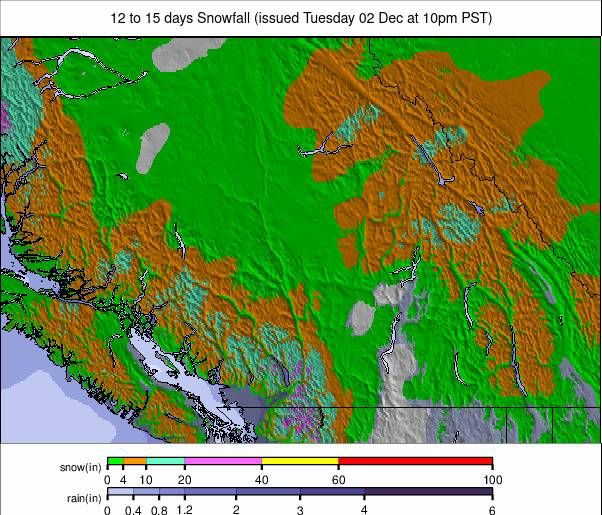
Canada Snow Report and Ski Conditions
Western Canada continues to experience dry but bitterly cold conditions. Thanks to heavy snowfall earlier in the season, most ski centers report deep cover and 95–100% of slopes open. Revelstoke currently holds the deepest snowpack in the country. Eastern Canada has been colder still, with temperatures plunging into the minus 20s °F. Mont Tremblant reports 100% of slopes open, with Storm Fern reinforcing snow cover and locking in mid-winter conditions.
Canada Weather and Snow Forecast
Cold conditions persist across the country, helping preserve deep snowpacks. Western regions remain dry, while eastern areas stay locked into a classic mid-winter pattern.