North American Weekly Snow Roundup #307
Weekly Snow News for North America, updated 26 March 2026: Record 1.3m (52") Midwest snowfall contrasts with extreme western US warmth.

- Record 1.3m (52") snowfall hits the Midwest
- Western US warmth triggers early closures and rapid thaw
- Canada stays cold with consistent fresh snowfall
- Eastern US holds onto colder, more stable conditions
- Rockies struggle with heat and shrinking terrain
North America Snow Report
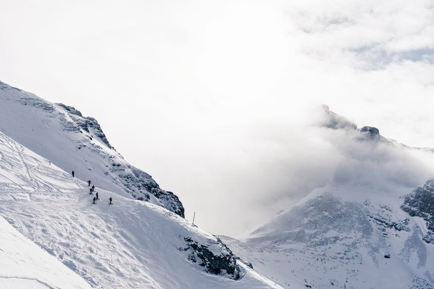
The US has once again shown a pronounced west–east divide over the past week, a recurring theme this season. Across the Western US — including California, the Pacific Northwest and the Rockies — temperatures remain well above seasonal norms.
Base areas have frequently climbed into the 60s and 70s°F, conditions widely described as “unprecedented” for March. This has led to a growing number of early closures, while other resorts continue operating with reduced terrain. Further east, the pattern reverses.
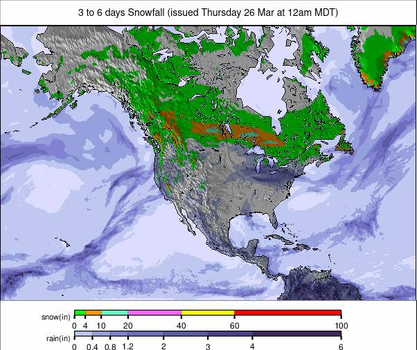
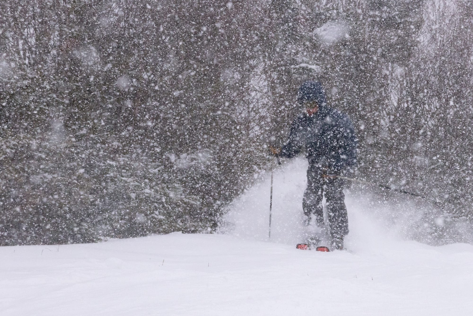
The Eastern US, along with northern parts of the Midwest, has held onto colder air, with sub-freezing summit temperatures, occasional light snowfall and generally firmer, more winter-like conditions. Looking north, Canada continues to deliver consistently wintry conditions across both western and eastern regions, with frequent flurries and temperatures remaining well below freezing at altitude.
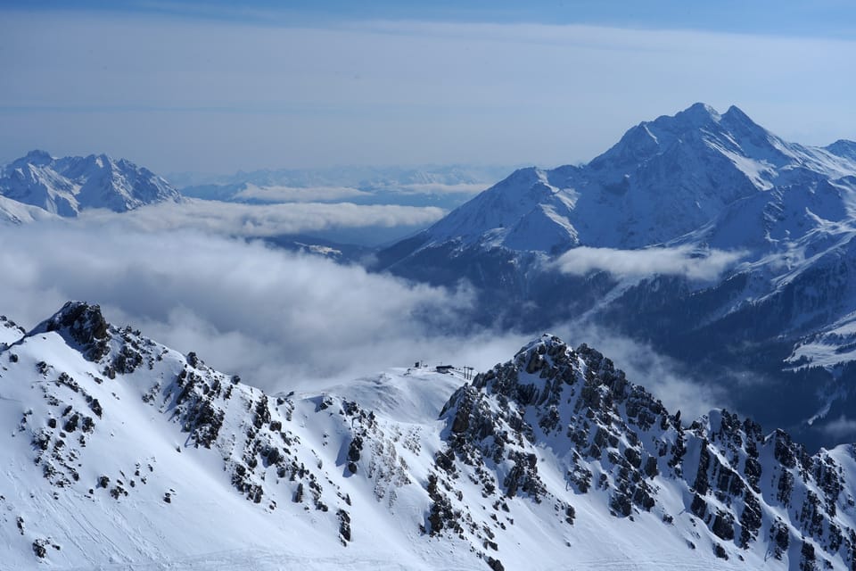
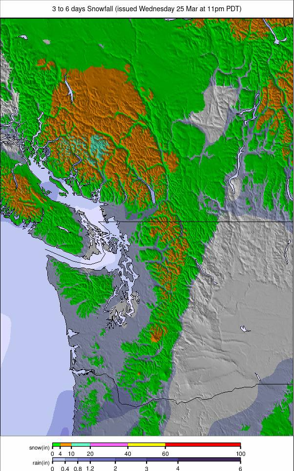
Western Canada Snow Report
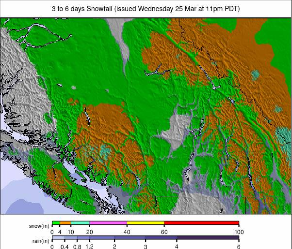
It has been a mixed week in western Canada, with milder temperatures ahead of the weekend followed by a return to colder conditions and fresh snowfall. Lake Louise (260/260cm / 104/104") recorded one of the largest snowfall totals globally over the weekend, with 32cm (13").
However, the combination of warmth and new snow created periods of elevated avalanche risk in the Banff backcountry, prompting temporary road closures to Sunshine by Parks Canada. In BC/resorts/A-J">British Columbia, Revelstoke (100/305cm / 40/122") continues to report the deepest base among Canada’s major resorts.
Western Canada Forecast
Conditions remain firmly wintry, with regular light snow showers and mostly cloudy skies. Temperatures at higher elevations typically range from –20°C to –10°C, with bases between –14°C and +4°C depending on location. Snowfall will be frequent but generally light, maintaining good surface conditions.
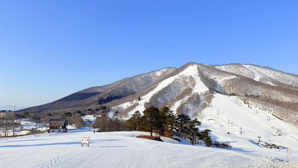
Eastern Canada Snow Report
After a brief mild spell late last week, Eastern Canada has returned to full winter mode at the start of astronomical spring, with most areas seeing round-the-clock subzero temperatures and occasional light snowfall.
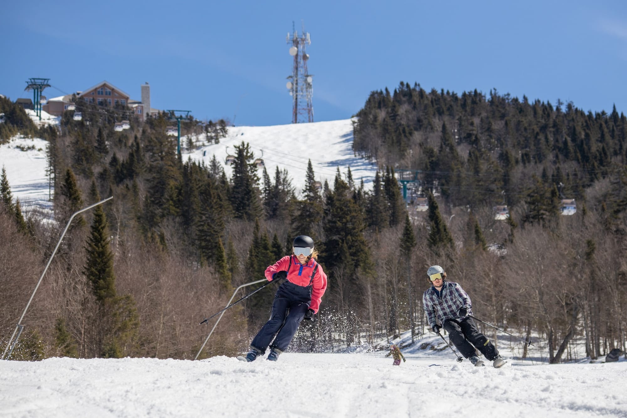
Resorts across Quebec, Ontario and the Maritimes remain 70–90% open. Mont Tremblant (309/60cm / 12/24”) continues to operate at around 90% capacity, reflecting the region’s strong late-season conditions.
Eastern Canada Forecast
Cold, mostly cloudy conditions persist, with summit temperatures around –10°C to –4°C and bases between –7°C and 0°C. Occasional flurries are expected, with improving visibility later in the week as winds ease and skies brighten.
US West Coast Snow Report
Unseasonably warm weather continues across the Pacific Coast ranges, from Washington down to California. Summit temperatures have remained above freezing, typically between 30–45°F, while base areas have climbed into the 50s, 60s and even low 70s°F, particularly in the Sierra. With clear skies and no meaningful new snowfall, rapid thawing is underway. Snow is softening quickly each morning, transitioning to corn snow by late morning and becoming slushy through the afternoon. \
Several smaller resorts have already announced early season closures, while larger destinations are seeing gradually diminishing terrain. Despite this, strong earlier-season snowfall means there is still substantial base depth in places. Palisades Tahoe (50/200cm / 20/80") continues to report nearly 90% of terrain open, the most in the region.
US West Coast Forecast
Little change is expected, with warm, sunny and dry conditions continuing. Summit temperatures will remain around 30–45°F, while base areas climb into the 50s, 60s and low 70s°F. No snowfall is expected, with classic late-spring conditions persisting.
US Rockies Snow Report
The Rockies are facing a challenging start to spring, with exceptionally mild temperatures accelerating snowmelt across much of the region. Temperatures in the 50s and 60s°F have led to a growing number of early closures. Among the most notable is Snowbasin, a past and future Winter Olympic venue, closing more than a month earlier than planned.
Other resorts, such as Snowbird, have reduced operating hours, while terrain is shrinking at many major destinations. Mid-mountain and summit temperatures have also remained mild, typically between 40–55°F, keeping snow soft from early in the day and turning increasingly slushy by afternoon. Visibility has generally been good, with light winds prevailing.
US Rockies Forecast
The outlook remains largely unchanged, with continued mild, dry and sunny conditions. Summit temperatures will stay between 40–55°F, while base areas rise into the 60s and low 70s°F. Snow will soften quickly each day, with brief morning corn conditions giving way to slush.
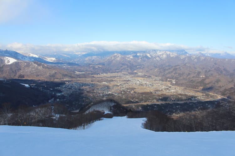
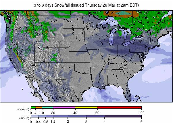
US Midwest Snow Report
It has been a week of extremes across the Midwest. Parts of upper Michigan recorded up to 52" (1.3m) of snowfall — among the largest March totals on record — alongside reports of 60mph winds and periods of milder weather. Around 80% of ski areas have now closed for the season, but those still operating, particularly in the colder snowbelt zones, are reporting excellent late-season conditions. Mt Bohemia (225/225cm / 90/90") leads the region with all 105 runs open.

US Midwest Forecast
A mixed outlook continues, with a combination of snow, sleet and rain showers, interspersed with sunny spells. Temperatures are expected to range through the 30s and 40s°F in areas where resorts remain open.
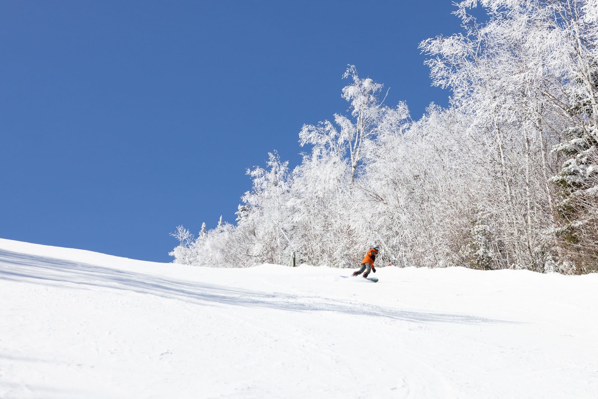
US East Coast Snow Report
Following a mild end to last week, several weather systems have brought colder air and fresh snowfall back to the Eastern US, particularly at higher elevations. Temperatures have ranged from the 20s to 40s°F, with lower elevations seeing rain or sleet, while higher and more northerly areas received 5–30cm (2–12") of fresh snow.

Sunday River recorded the largest weekend total at 33cm (13"). Killington (50/76cm / 20/30”) remains around 70% open, while Sunday River (40/101cm / 16/40”) continues to offer close to 85% of its terrain.
US East Coast Forecast
After some midweek precipitation, conditions turn drier and sunnier. Summit temperatures will remain cold, generally in the single digits to low 20s°F, helping preserve snowpack, while base temperatures range from the mid-20s to upper-30s°F.