North America Weekly Roundup #302
Weekly Snow News for North America, updated 19 February 2026: Major storms bring heavy snow to California, Western Canada and the Rockies.
- Major storms delivering heavy snow to US West Coast and Western Canada
- Cold, wintry conditions continuing across East Coast and eastern Canada
- Rockies and Pacific Northwest turning colder with season’s best snowfall
NORTH AMERICA INTRO
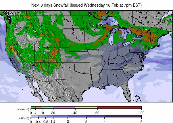
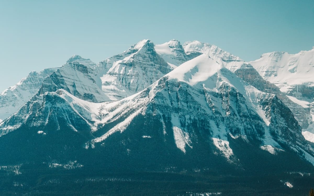
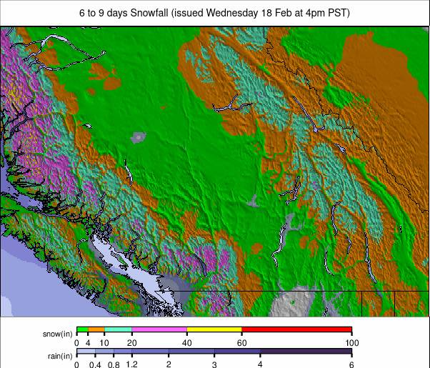
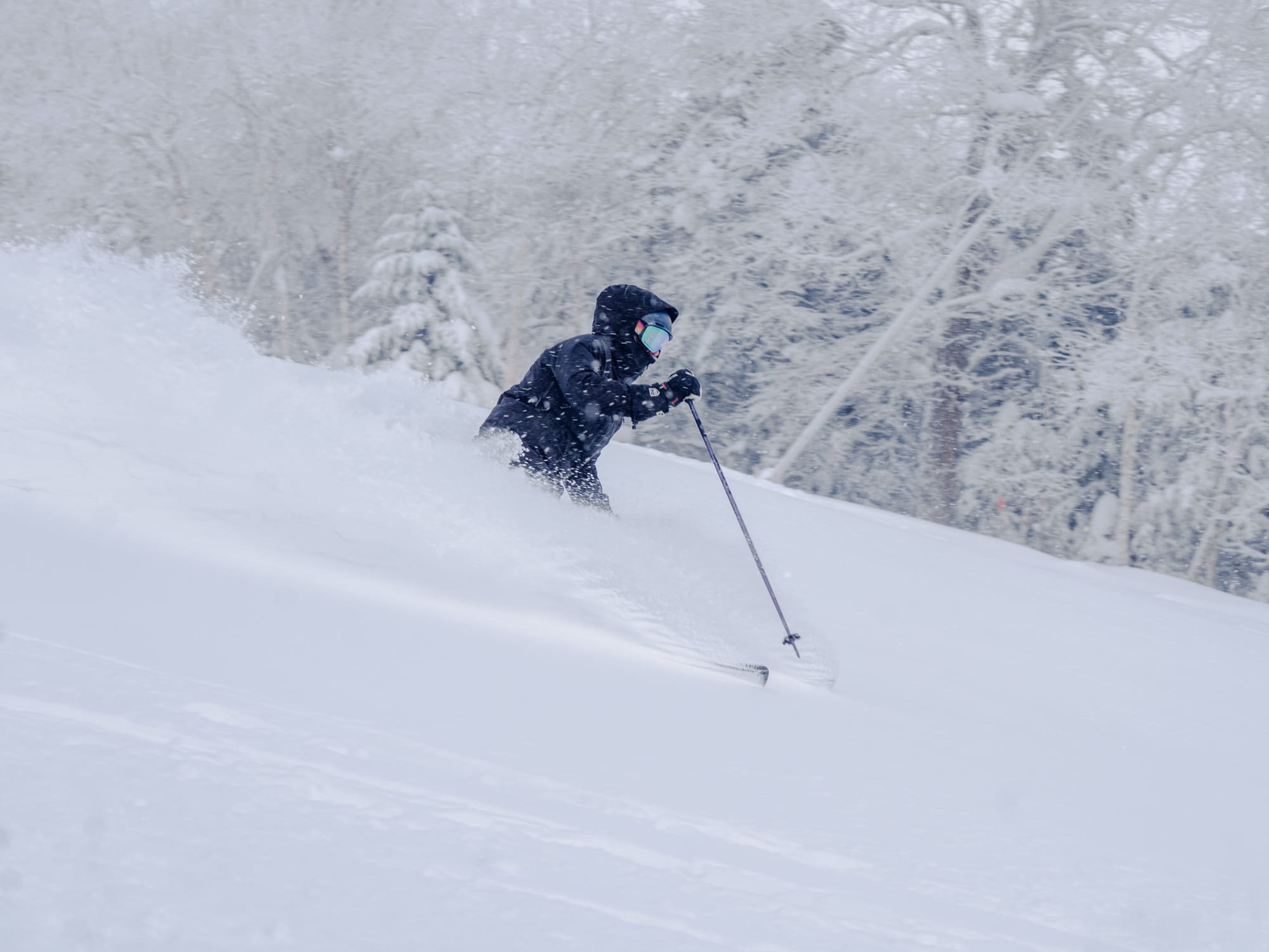
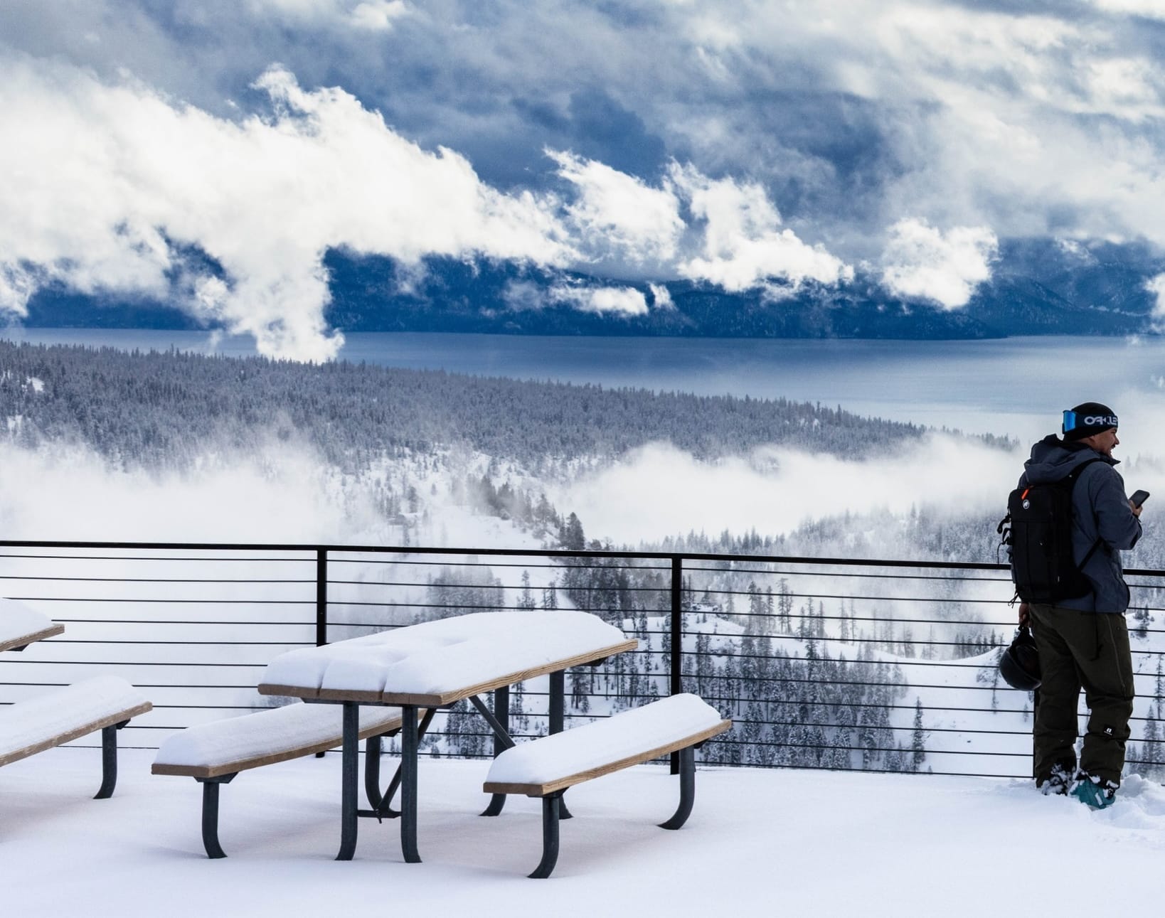
There finally appears to be a marked change in Western North America with the colder temperatures we've been waiting for all winter starting to move in (ironically, just over a week before meteorological springtime begins), along with heavy snowfall, particularly for California. However, the Pacific Northwest and the Northern Rockies are due for a decent dump, too. This snowfall is already underway, shutting down ski resorts in California and the wider region on Tuesday, and is set to continue through the week, with the luckiest resorts likely to see over 4 feet (1.2m) of storm total.
On the East Coast, the excellent ski season continues. It keeps snowing, though not as heavily, and temperatures remain below freezing, though not quite as bitter as they were previously, so that's generally a good thing.
North of the border, it remains top-notch in most areas. Coldest in the east now, where we saw -20s again on high terrain at the weekend, light snowfall too. Most significant snowfall is moving into western provinces now, too.
CANADA WEST REPORT
It's been one of the snowiest weeks of 2026 so far in Western Canada. Not that it has been that snowy, but multiple days of 5-15cm (2-6") snowfalls have led to snow totals of 25-50cm (10-20") over the past week, more than the low totals in January and earlier this month as the weather stayed largely dry. There have been sunny spells between the showers with temperatures mostly in the -5 to -15°C range. Most centres in Alberta and BC remain fully open. Whistler Blackcomb (20/212cm / 8/85") has been leading the way with 280 of its 305 slopes skiable at present.
CANADA WEST FORECAST
Remaining colder and unsettled week, with fresh snowfall expected across both Alberta and BC/resorts/A-J">British Columbia. Resorts in the Rockies, such as Lake Louise, Sunshine and Marmot Basin, will see temperatures between –18°C and –8°C, with 5–15cm (2-6”) of new snow likely. In BC, Whistler, Big White, Sun Peaks and Revelstoke can expect a mix of light snow and heavier pulses, with 10–25cm (4-10”) possible in higher alpine areas. Winds may strengthen during frontal passages, but overall the pattern favours regular top‑ups and continuing mid‑winter conditions across both provinces.
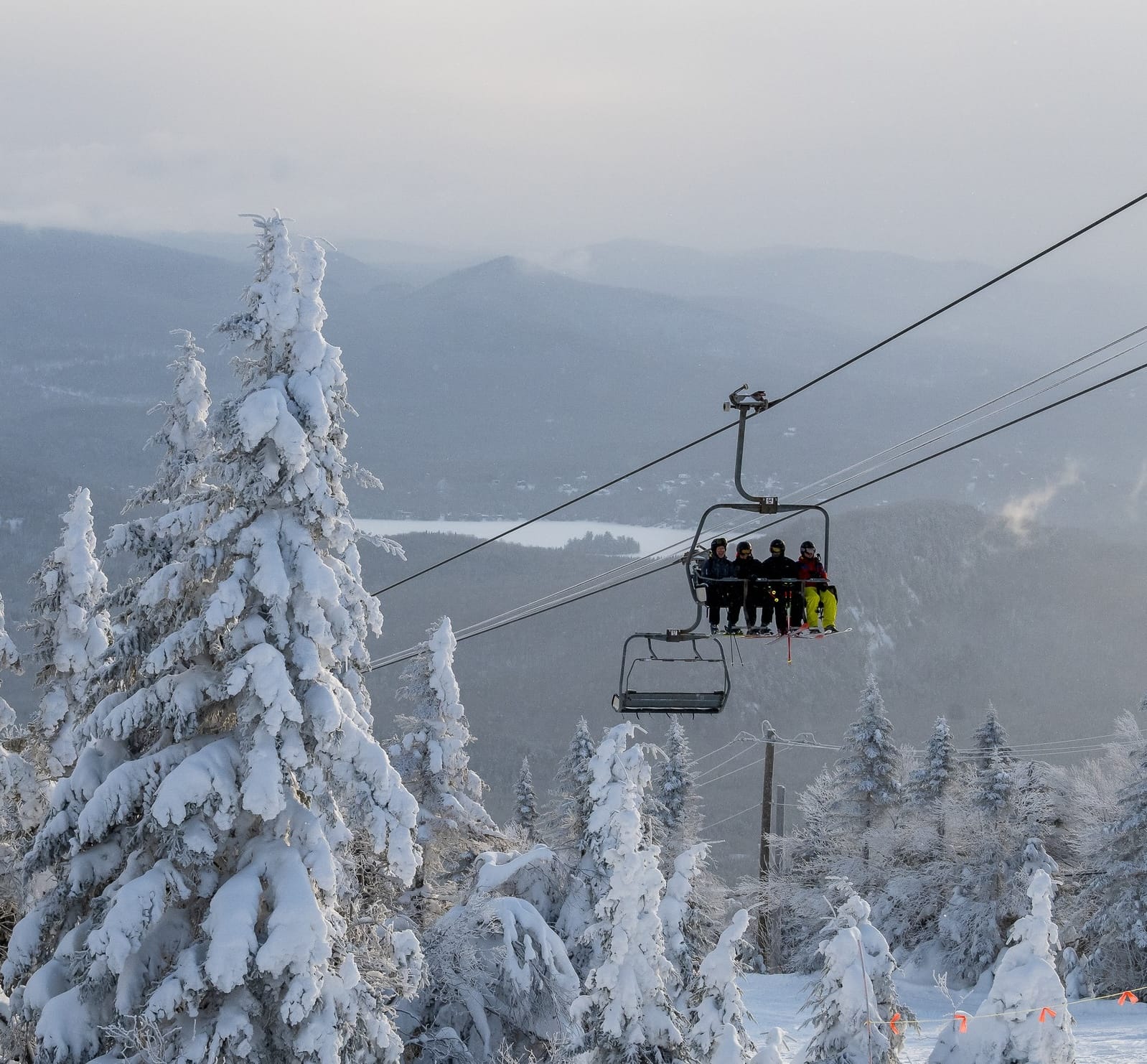
CANADA EAST REPORT
Temperatures dipped down to the -20s in Quebec under clear skies over the weekend. Since then, it has been warmer, more in the -5 to -15C range, with a mixture of sunny spells and light snowfall of 2-5cm (1-2 inches) over 24 hours, refreshing the hard-packed slopes. Ontario’s Blue Mountain (90/100cm / 36/40”) is posting the region’s deepest snow cover.
CANADA EAST FORECAST
Continuing sub-zero temperatures with a mix of light snow showers and sunny periods. It currently does look like there may be a more significant 10-20cm (4-8") snowfall at the end of the week, which could deliver powder days at the weekend.
US WEST COAST REPORT
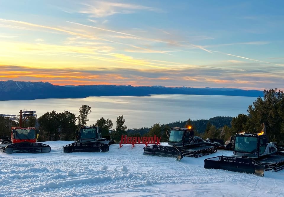
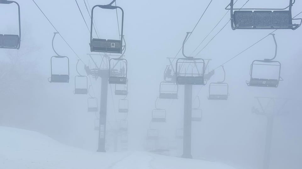
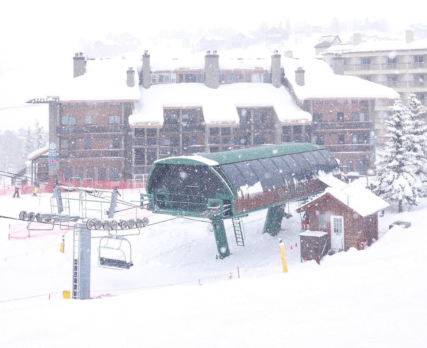
Things are looking up along America's Pacific Coast with some big snowfalls over the past 48 hours, and the snow is still dumping. After a few promising refreshes measuring in the inches at the end of last week, fresh accumulations over the past 36 hours have been in the feet (30cm+), and storm totals of 2-4 feet are expected by the end of the week. It's the best snowfall in California in six weeks and the second-best of the season. In the short term, though Mammoth Mountain and many other areas have shut down due to the worst of the storm, which includes strong winds, blowing through. Local powder fans are also hoping this is the start of the long-awaited change in the mild, dry conditions that have dominated the past three months. In further good news, temperatures have plummeted in Oregon and Washington state to the coldest of the season to date.
US WEST COAST FORECAST
Remaining unsettled pattern with Californian resorts expected to see more heavy snow showers, with 6–18 inches (15-45cm) possible at higher elevations through the weekend. Oregon and Washington State will see a similar setup, with Mt. Hood, Mt. Bachelor, Crystal Mountain and Stevens Pass likely receiving 8–20 inches (20-50cm), accompanied by colder temperatures and occasional strong winds during frontal passages. Further north, Alaska will turn stormier, with interior mountains expecting frequent snow bands and 10–24 inches (25-60cm) of accumulation, supported by consistently sub‑freezing temperatures.
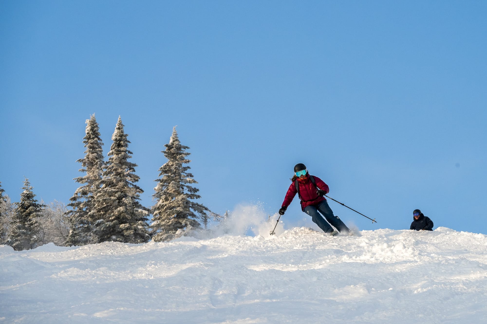
US ROCKIES REPORT
t appears that winter is making an appearance in the Rockies at last, with snowfall in the north of the region last week adding 3-9" (7-23cm), but now a bigger storm is set to cover a wider region with the most snowfall of the season so far getting underway. Storm totals of up to two feet (60cm) are forecast by the end of the week, which should hopefully have the region looking like it should in winter for the first time this season. Unfortunately, Colorado, again, looks like it won't see so much as further north, but hopefully there'll be at least 6-12" (15-30cm) here too after some very mild temperatures once again. For now, most ski areas in the Rockies remain 50-90% open with thin bases.
US ROCKIES FORECAST
Continuing colder, unsettled weather will bring 4–12 inches (10-30cm) of new snow to the northern Rockies and resorts in Idaho, Montana and Wyoming over the next few days. In Utah, the Wasatch will pick up 5–10 inches (12-20cm), with single‑digit °F summit temperatures and occasional wind, whilst in Colorado, the snowfall looks more modest again at 2–6 inches (5-15cm), but colder air returns, improving surface conditions across Summit County and the central mountains.
US MIDWEST REPORT
Conditions have been fairly dry in the Midwest over the past week, with the biggest snowfalls about 6" (15cm) reported in Michigan, but many areas haven't had any fresh snow. Instead, temperatures have been higher, if still only a little above freezing at times, rather than down in the -20s °F we saw a few weeks ago. Michigan's Mount Bohemia (80/80" / 200/200cm) continues to post the region's deepest cover, and all 105 trails are open.
US MIDWEST FORECAST
Continuing cold and unsettled for the rest of the week, with temperatures staying well below freezing across Michigan, Wisconsin and Minnesota. Upper‑hill temperatures will generally range from 5°F to 20°F, with colder nights dipping toward 0°F, helping to maintain the snowpack. Light snow showers are expected on several days, bringing small but steady top‑ups. A couple of weak systems may deliver slightly heavier bursts, though winds look moderate overall.
US EAST COAST REPORT
The epic winter continues on the East Coast with light snow showers, freezing temperatures and sunny spells as the main weather factors over the past week. There have not been the heavy falls of earlier in the winter, nor the bitingly cold below-zero-Fahrenheit temperatures, but slopes have seen an inch or two of fresh cover most days, and temperatures have been a pleasanter freezing down to 10 or 15 degrees below, keeping the snowpack in good shape. Most areas remain fully open, including Stowe (26/48" / 65/120cm), which is posting the deepest snow in the Northeast.
US EAST COAST FORECAST
Cold, wintry weather should continue through the rest of this week and the weekend, with conditions staying favourable across Vermont, New Hampshire and Maine. Temperatures will sit well below freezing in the mountains, with colder nights helping to preserve the snowpack. Light snow showers are expected on several days, bringing small but regular top‑ups, especially in northern areas such as Stowe, Jay Peak, Sugarloaf and Sunday River. Brighter spells will continue to break through between systems, and winds are expected to be moderate overall.