Cold Front Brings Early Elevation Snow to Western North America
Weekly Snow News for North America, updated 17 September 2025: Cooler air brings first visible high-elevation snow; modest accumulations expected (3–9 cm / 1–3").

- Western US cools — first high-elevation snow visible.
- Expect patchy mountain snow across I-70 and I-80 corridors.
- Early-season conditions favour high resorts; low slopes remain warm.
USA
Temperatures have cooled in the Western US over the past week, with overnight lows dipping below freezing in high mountain areas like the Rockies and Sierra Nevada—into the high 20s to low 30s °F. Daytime highs have hovered in the 60s to 70s °F across mountain towns, while cooler air spreads into California and Oregon. In other words, a classic early-fall mix of crisp air and shifting weather fronts.
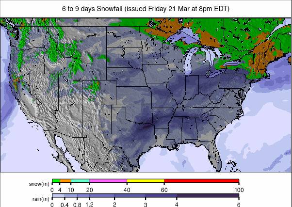
Forecast
The Colorado Rockies will see cooler, wetter conditions than has been the case recently. Expect moderate precipitation midweek, with higher resorts possibly seeing light snow at elevation. Across Western North America—including Utah, Montana, and the Pacific Northwest—a cold front will bring patchy snow to mountain zones, especially near I-70 and I-80. Accumulations will be modest: 1–3" (3–9 cm). Winds will ease slightly by the weekend, with clearer spells returning Saturday.
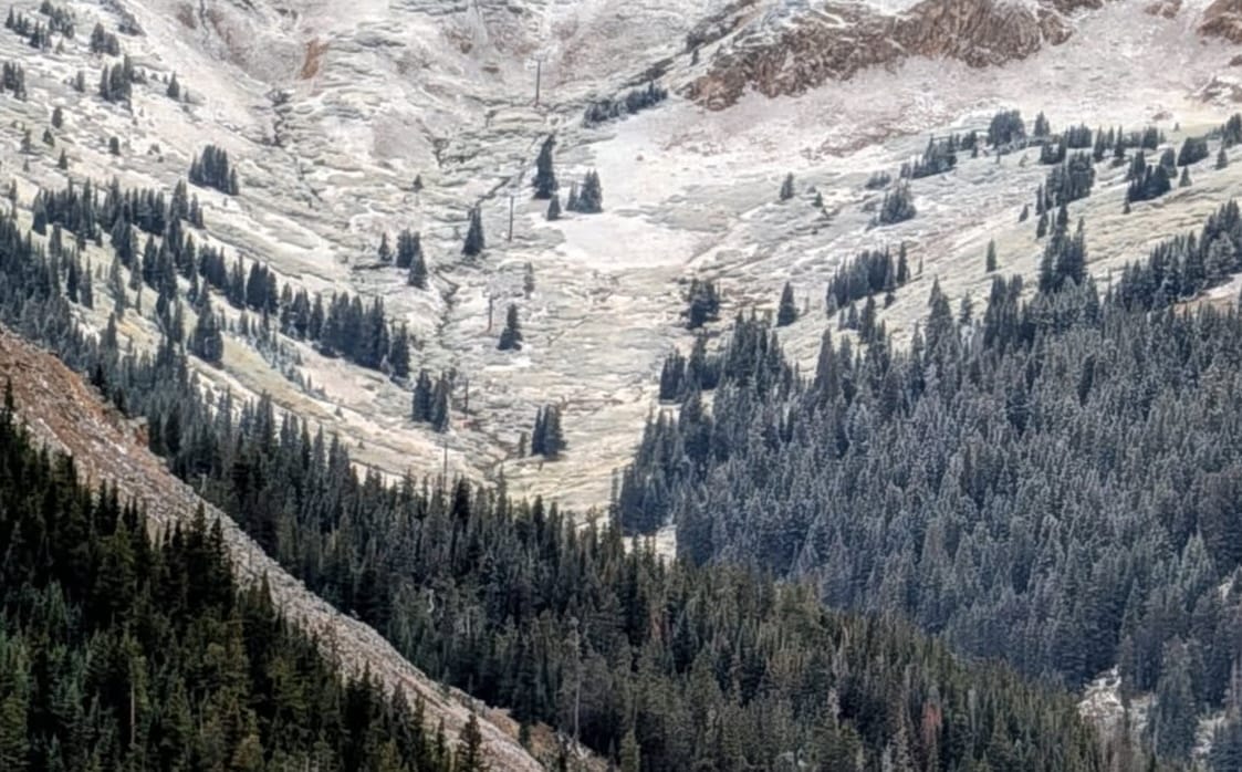
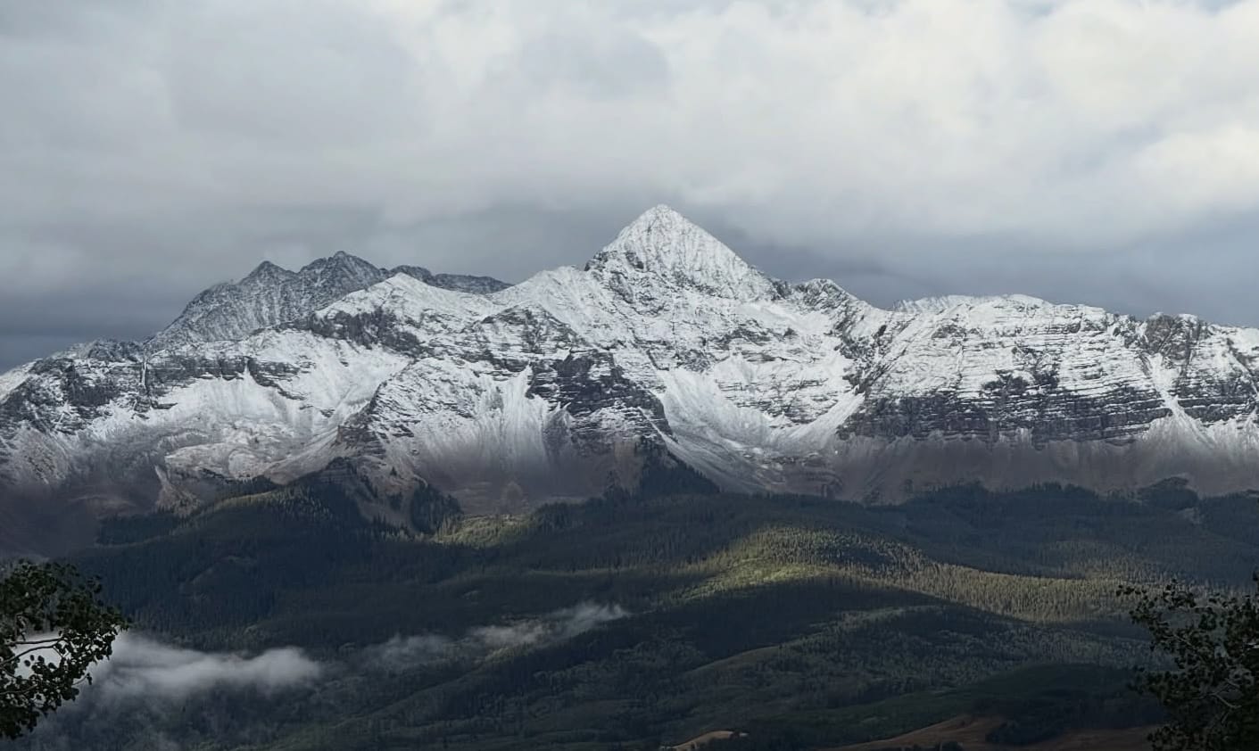
Rockies & Sierra Nevada
High slopes in the Rockies and Sierra Nevada have reported the first clearly visible falls of the season. These early snows are concentrated on upper mountains and glacier-fed terrain, offering the first taste of winter and improving early-season conditions for high-elevation training and preparation.