North America Weekly Snow Roundup #300
Weekly Snow News for North America, updated 4th February 2026: West remains dry and mild, while East and Midwest stay bitterly cold with storms.
- Dry, sunny West Coast continues
- Bitter cold and storms in East and Midwest
- Most resorts now 80–100% open
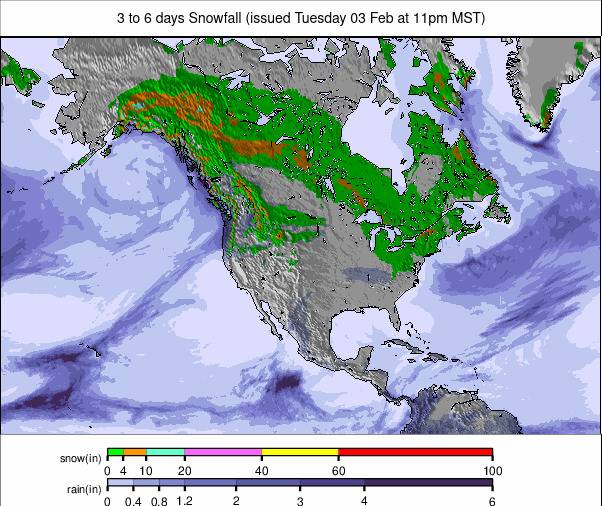
- Light snow for Canada, warmer west
- Deepest bases in Japan and BC heliski zones
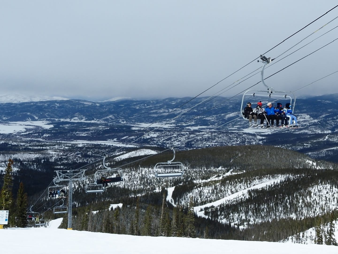
North America Snow Report and Ski Conditions
It’s a case of déjà vu, or perhaps Groundhog Day, in the movie sense of the phrase, for North American skiers and riders. Essentially, the West is, once again, largely dry, sunny, and on the Pacific Coast, pretty warm.
By contrast, the East Coast and Midwest remain bitterly cold and continue to be battered by winter storms. So, it’s continuing feast or famine for deep snow lovers, depending on which side of the continent you’re on.
In terms of open terrain, though, it’s now pretty good almost everywhere. True, some centres in Colorado are not yet fully open and reliant on machine-made snow, but they’re edging ever closer, and most are now at 80-95% skiable. North of the border, Canada remains very cold, with more light snowfall; however, warmer air is now moving into the west.
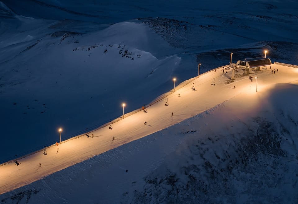
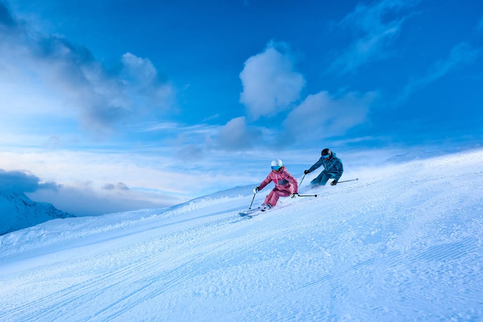
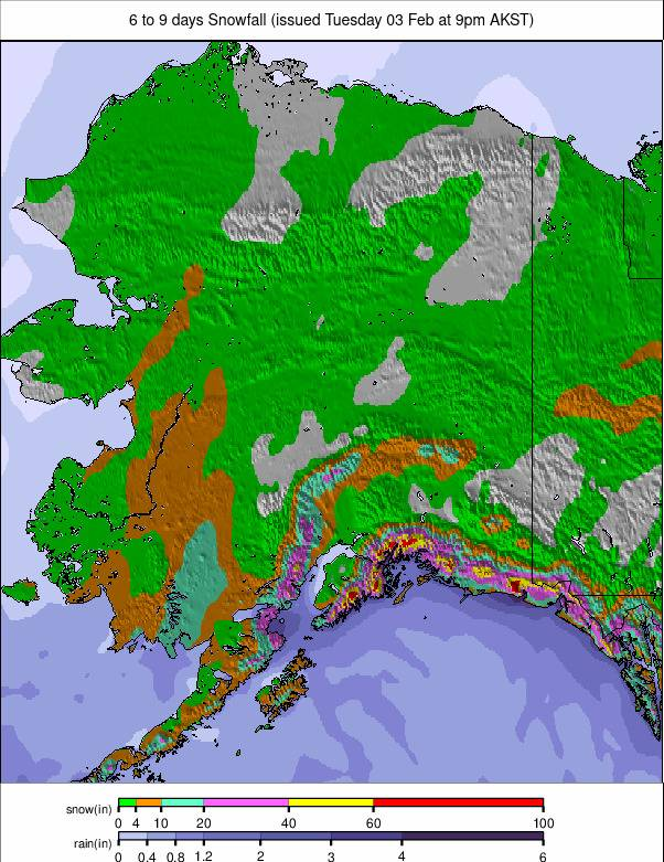
Canada West Snow Report and Ski Conditions
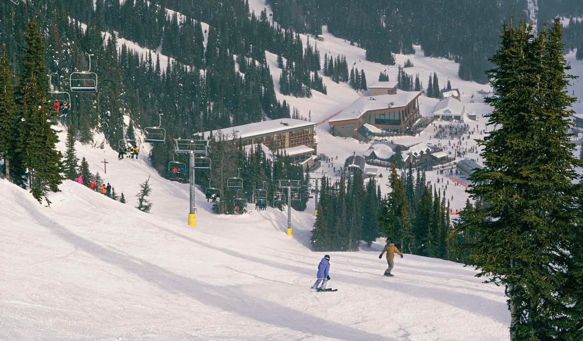
The mostly dry and sunny conditions that have dominated Western Canada have continued into February. However, after some very low temperatures last month, the past week has turned warmer, with base temperatures climbing back above freezing and remaining only single digits below at higher altitudes. There has been a little more unsettled weather moving through, too, with the occasional light snowfall reported, usually just a centimetre or two, though. Most areas remain at or near full operations. Revelstoke (105/240cm / 42/96") is posting the deepest base, whilst Whistler Blackcomb (0/190cm / 0/76") is at 90% open, the most in the country and North America.
Canada West Weather and Snow Forecast
It’s a relatively mild spell this week, at least compared to freezing January, with many lower and mid-mountain bases climbing well above freezing during the day, in some cases reaching +5 to +10°C. Nights generally dip just below zero, occasionally down to –5°C in sheltered valleys, keeping the surface firm enough for morning skiing before softening in the afternoons. Higher elevations in the Rockies and Coast Mountains stay colder, holding onto more consistently frozen snowpack. Light snow showers are expected, but accumulations look modest, with more meaningful snowfall possible toward the weekend as a Pacific system approaches and temperatures cool slightly. Further north, though, huge snowfalls are forecast for the heliski regions of northern BC.
Canada East Snow Report and Ski Conditions
It has been another week of consistently cold weather across Eastern Canada, with temperatures down in the -10 to -25°C range. Plenty of sunshine reported, and only light snow showers. Blue Mountain resort (85/95cm / 34/38”) in Ontario is posting the region’s deepest snowpack for a major resort. The largest centre in the area, Quebec’s Tremblant (30/60cm / 12/24"), reports its slopes 100% open. Le Massif, which had been closed for three weeks due to a labour dispute, has now reopened.

Canada East Weather and Snow Forecast
With colder air settling over Québec, Ontario’s highlands and the Atlantic provinces, daytime temperatures on the slopes remain below freezing, while nights drop well into the –10°C range in the Laurentians, Charlevoix and parts of the Eastern Townships. Light snow showers will add a few centimetres of fresh cover, but a more active spell is possible toward the weekend as a developing system brings broader snowfall to some regions.
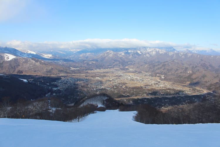
US West Coast Snow Report and Ski Conditions
Sunny, mild conditions on America’s west coast, as has been the case for much of the season to date. Temperatures did dip below freezing in the northwest over the weekend, and there was even a few inches of snowfall there, but for most areas, it’s been another dry week. Thankfully, though the big snowfalls between Christmas and mid-January continue to keep base depths up, most resorts remain fully open, even if it feels more like March-April than January-February. Palisades Tahoe (28/52" / 70/130cm) has the most terrain open on the West Coast at present, with 90% of its terrain skiable. It’s not so good a little further north in Oregon, which missed out on those earlier storms.
Mount Hood’s Ski Bowl suspended operations this week due to low snow levels, joining Mt Ashland. Most other ski areas in the state are operating at limited capacity. There was some snowfall on the West Coast, though, if you went far enough north. Alaska’s Alyeska (14/99" / 35/245cm) posted nearly two feet (60cm) of fresh over three days over the weekend.
US West Coast Weather and Snow Forecast
The Pacific Coast Ranges move through a mixed, fairly mild pattern once again through the rest of this week, with big contrasts between mild bases and colder upper-mountain terrain. Daytime temperatures at lower elevations often climb well above freezing, commonly into the mid 40s to low 50s °F, with some of the warmest bases pushing toward the upper 50s.
Nights generally fall back into the upper 20s to low 30s °F, giving a brief overnight refreeze before softening each afternoon. Higher slopes in the Cascades and Sierra stay colder, holding onto firmer snow. Light to moderate snowfall is possible late week as a Pacific system brings cooler air inland, which is looking increasingly likely to bring much-needed fresh snowfall to the Pacific Northwest.
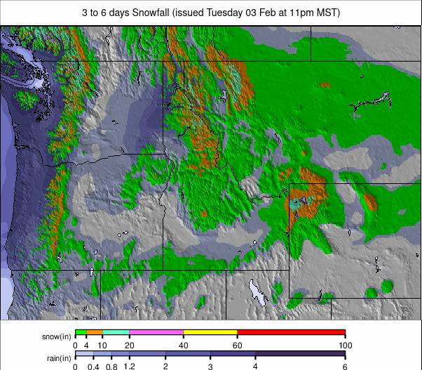
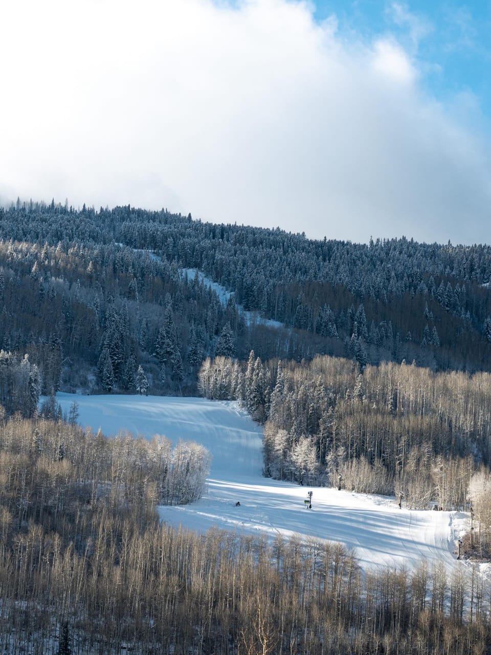
US Rockies Snow Report and Ski Conditions
Another dry, sunny week for much of the Rockies, with the most optimistic forecasts now looking to the latter half of February before these conditions, which have dominated all season, might end. It has been colder, though, maintaining the existing cover and allowing snowmaking to run with temperatures 10-20 degrees below freezing on higher terrain overnight and not getting much above freezing at bases in the daytime either. Most areas are 70-100% open despite the challenges with Wyoming’s Grand Targhee (50/82” / 125/205cm) posting the deepest base in the region and Utah’s Park City (42/42” / 105/105cm), the most in the Rockies, and the USA, with more than 90% of its terrain now open.
Utah’s Alta summed up their January and season to date, which is similar to most resorts in the region:
“Just when it was beginning to feel like high-pressure Groundhog Day, a quick-hitting storm delivered a few inches of fresh snow, providing soft turns and a great weekend of skiing with family and friends to end the month. In total, we received 69 inches of snow in January, with 66.5 inches falling in the first eight days. Our season-to-date snowfall is 143 inches, tied with the 2017–18 season for the least-snowiest start to the season in the past 46 years. While our season-to-date snowfall is about 51% of average for February 1st, our season-to-date water is 76% of average.”
US Rockies Weather and Snow Forecast
No real respite in sight for the US Rockies, unfortunately, with another milder stretch this week, especially in Colorado, where some lower bases climb into the 50s°F (10–13°C) under sunshine. Midmountain levels are more variable, generally sitting in the 30s to low 40s°F, while upper slopes stay closer to freezing. Nights still dip below 32°F and much lower up high, delivering a partial refreeze before surfaces soften each afternoon. Occasional light snow is possible at higher elevations, but accumulations look modest.
US Midwest Snow Report and Ski Conditions
The bitterly cold conditions have persisted in the Midwest, with temperatures continuing to dip into the single figures Fahrenheit and often falling below zero, leading to limited operations at times for safety reasons.
There’s been plenty of sunshine, but also light snowfall, heaviest in the northern states, including Michigan and Minnesota. Michigan’s Marquette Mountain (20/50" / 50/125cm) has posted the most snowfall this week, around 10" (25cm). Mount Bohemia (75/75" / 187/187cm), also in Michigan, is posting the region’s deepest snow cover.
US Midwest Weather and Snow Forecast
Continuing bitterly cold with light, localised snowfall. Temperatures plunge well below zero Fahrenheit, with some regions experiencing lows near -15°F and wind chills reaching -20°F, likely to prompt further temporary lift closures at several hills. Light new snow is expected in parts of Michigan and Wisconsin, offering refreshed surfaces. Forecasts suggest continued frigid air across the Great Lakes, with 6–12 inches (15-30”) of snow possible in some areas as a broader winter storm moves through the region.
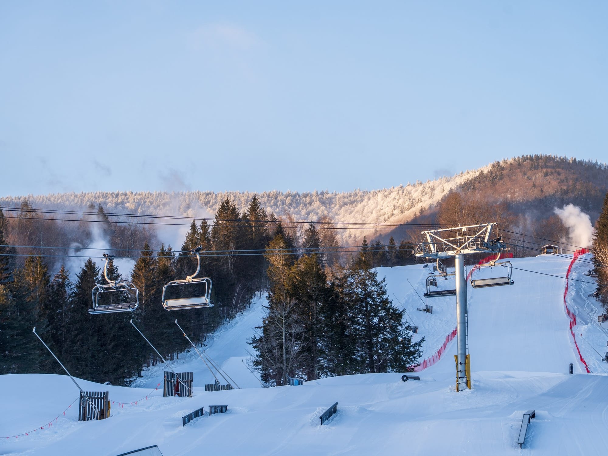
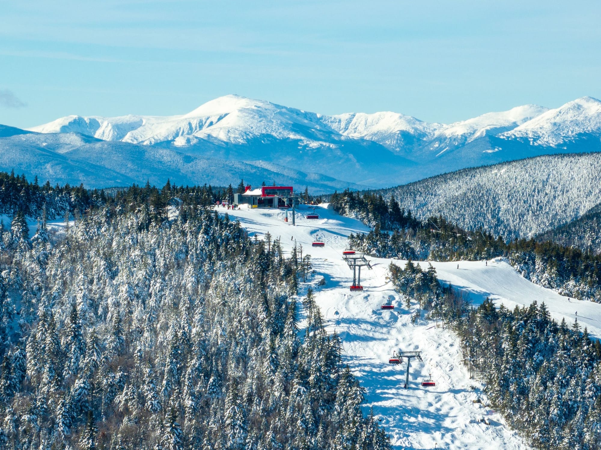
US East Coast Snow Report and Ski Conditions
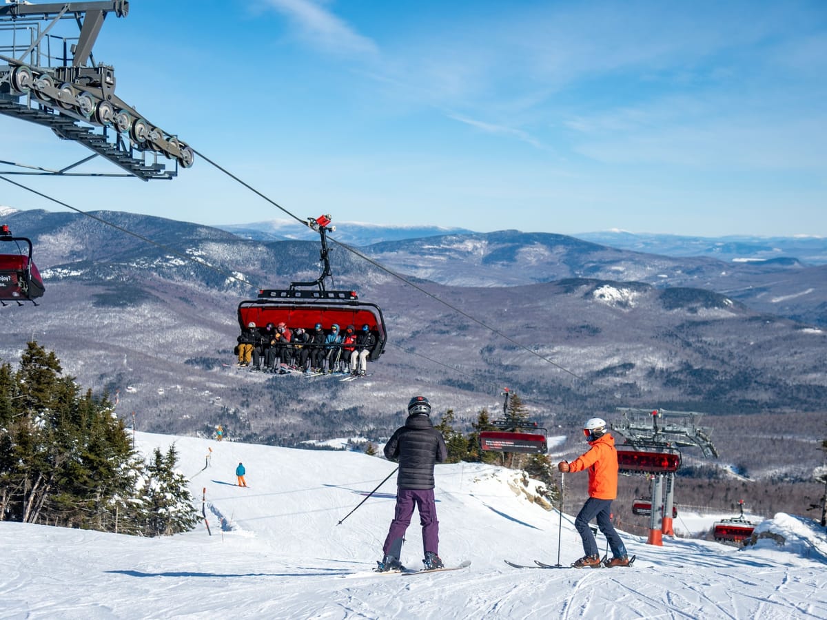
It’s been largely dry and sunny after last week’s big storms in the Northeast. It has, though, remained very, very cold, with temperatures down to near zero Fahrenheit, sometimes even below that, leading ski areas to continue limiting some operations for health and safety reasons. Otherwise, conditions are great, and most centres are fully open.

As usual, Killington (20/30" / 50/75cm) has the most terrain skiable in the East, with 97% of its slopes open. West Virginia’s Snowshoe Mountain (130/165cm / 52/65") now has the region’s deepest snowpack.
US East Coast Weather and Snow Forecast
Early February brings continuing deep cold and persistent snow dominating higher elevations. Resorts in Vermont, Maine, New Hampshire and New York continue to see mountain temperatures well below freezing, often dipping into the single digits Fahrenheit, with bases only slightly warmer. Light to moderate snowfall will continue to refresh surfaces through the week, and a broader storm system may bring heavier accumulations from the Carolinas to Maine later in the week. The cold and occasional strong winds may impact lift openings.