Japan Weekly Snow Roundup #299
Weekly Snow News for Japan, updated 28 January 2026: Japan’s peak winter continues with deep powder, severe cold and avalanche warnings following exceptional snowfall.
- Historic snowfall totals across Honshu and Hokkaido
- Multiple resorts exceed 4–5 metre base depths
- Extreme cold preserves exceptionally light powder
- Avalanche and safety warnings widespread
Japan Snow Report and Ski Conditions 2025/26
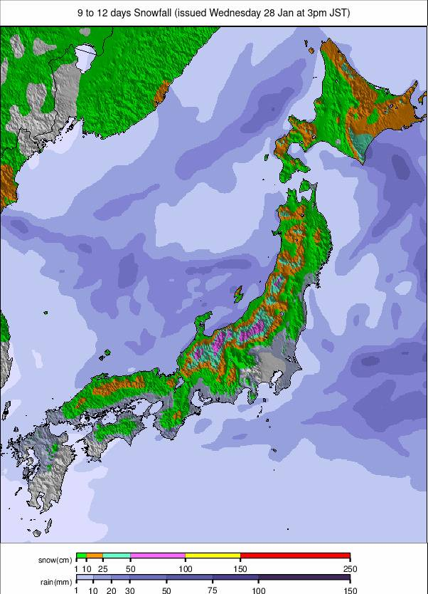
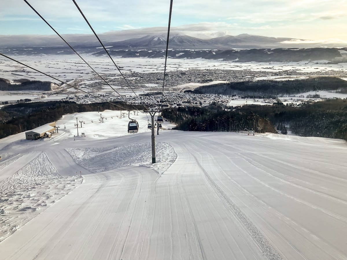
Another week to remember in Japan with continuing low temperatures and huge snowfalls. Myoko’s Seki Onsen ski area became the first ski area to pass the 4m (160”) base mark this winter at the end of last week, as Niigata prefecture posted some huge accumulations, Seki Onsen reporting 70cm (28”) in 24 hours. The totals going into the weekend were spectacular, again, across the country. In Hokkaido, Kiroro (200/320cm / 80/128”) posted 90cm (36”) in 24 hours, with Niseko (160/270cm / 64/108”) picking up 60cm (24”) in the same period.
Cold Siberian air continues to sweep across the Sea of Japan, keeping temperatures deeply subzero at altitude, typically between –21 °C and –8 °C and ensuring that the powder remains exceptionally light and dry. By Tuesday, Seki Onsen (540cm / 216”) had put on another metre, breaking through the 5m (200”) mark as other Japanese areas passed the 4m (160”) mark. The volume of snowfall was extraordinary, with Nozawa Onsen recording 1.5m (5 feet) in just over 24 hours.
That volume of snow is even being called “too much” by some powder freeriders, who find it hard to move in it. Coupled with dangerous cold temperatures at times and high avalanche danger, public authorities in Japan are posting plenty of health and safety warnings for on- and off-slope use, particularly concerning snow falling from roofs and unstable off-piste conditions. As evidenced by the snowfall at Seki Onsen and Nozawa, while Hokkaido stole the early-season headlines and continues to get dumped on, the storm track has now shifted south, delivering even more spectacular snowfalls across Honshu’s major regions, particularly Nagano and Niigata.
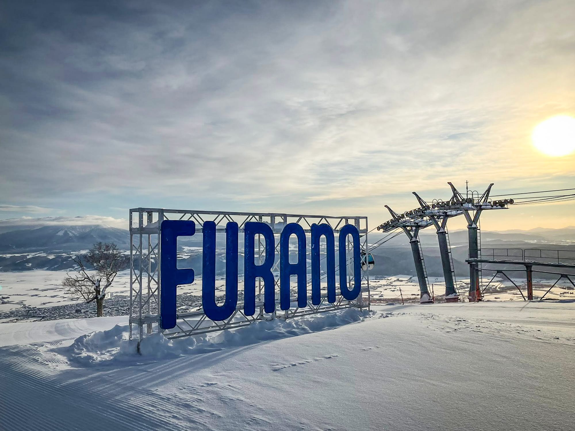
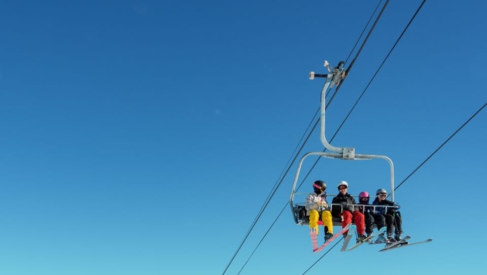
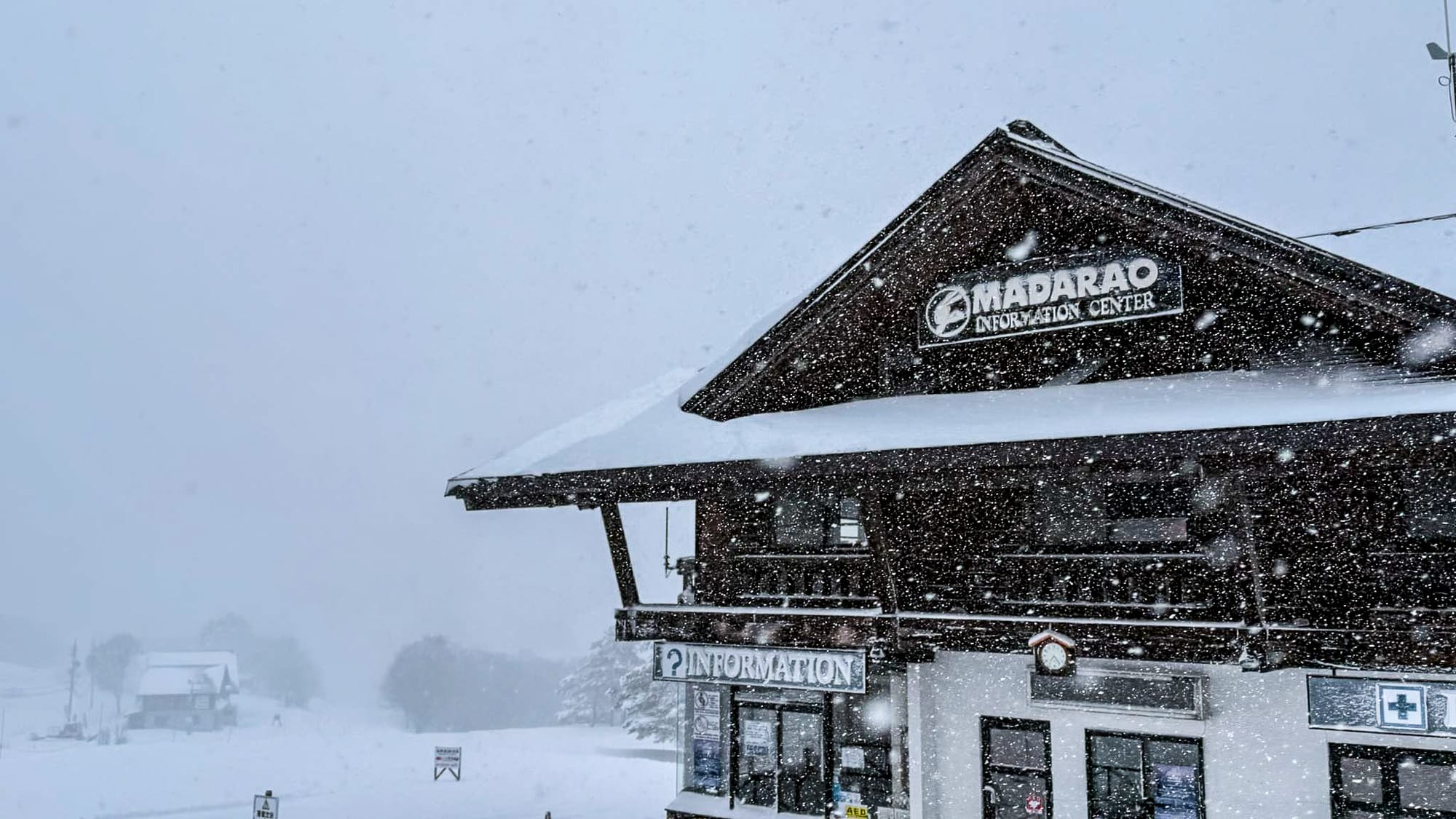
Resorts such as Hakuba, Shiga Kogen and Myoko are reporting excellent coverage, with many areas now 90–100% open. Only marginally warmer here with upper mountain temperatures commonly between –19 °C and –3 °C, cold enough to preserve the new snow and keep surfaces dry and grippy. Strong wind has been an issue at times too, making it even colder with wind chill, and leading to occasional wind holds on exposed lifts.
Japan Weather and Snow Forecast
Japan’s midwinter storm cycle is set to continue, with further huge snowfall totals building across the country’s major ski regions. Resorts in Nagano and Niigata, including Nozawa Onsen, Shiga Kogen, Myoko and Hakuba, show seven-day forecasts exceeding 1 m (40”) of new snow, with some peaks pushing well beyond that. Temperatures stay deeply wintry, often –10 °C to –20 °C at altitude, ensuring exceptional snow quality. Hokkaido is colder and slightly drier, but still picks up regular topups through the week. It’s a powerful, sustained pattern delivering frequent storms, deep accumulations and still more superb powder conditions across Japan.