Europe Weekly Snow Roundup #308
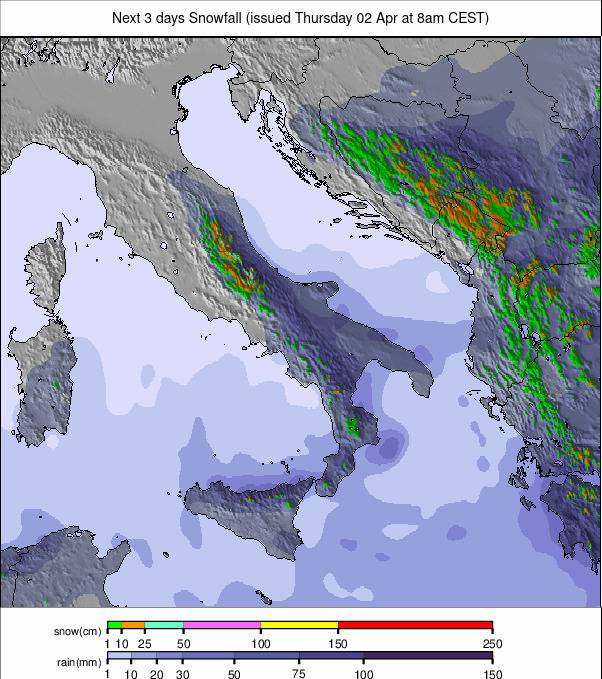
Weekly Snow News for Europe, updated 2 April 2026: Alps hit by 1m+ (40") snowfall and rising avalanche risk, while Pyrenees and Scandinavia maintain strong late-season coverage.
- Alps see metre-plus snowfall with sharp temperature drop
- Avalanche danger surges to high and very high levels
- Pyrenees hold exceptional late-season base depths
- Scandinavia continues reliable snowfall into extended season
- Eastern Europe sees late-season return of winter conditions
Europe Intro
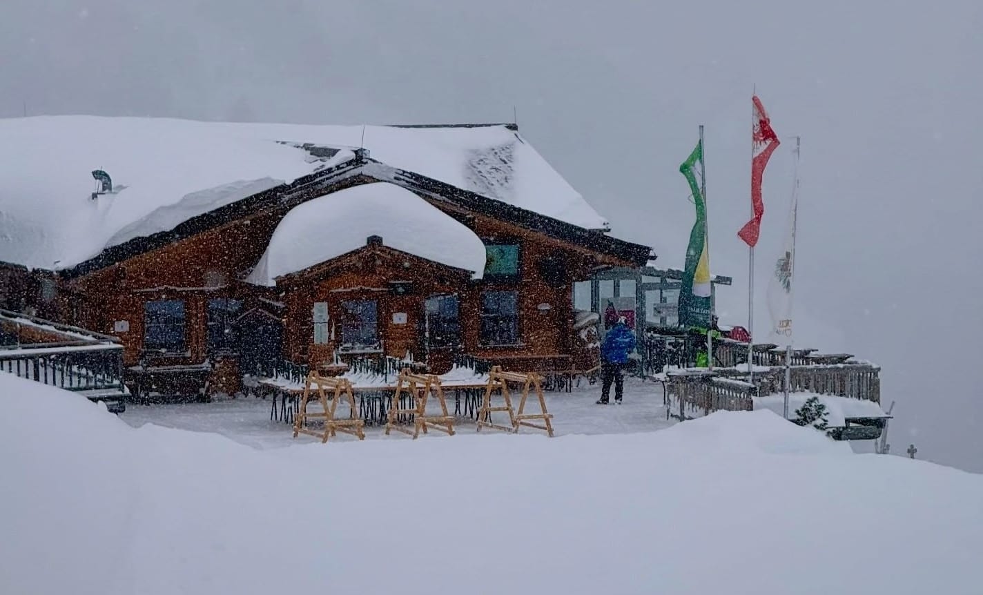
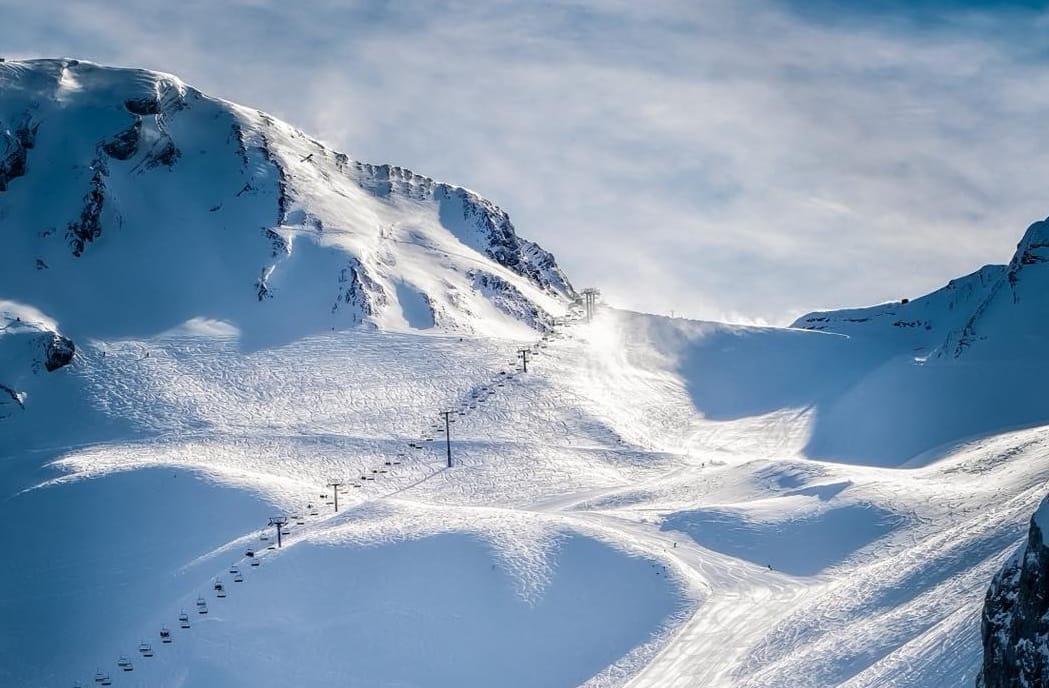
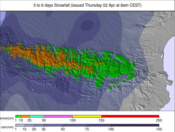
A dramatic return to winter conditions has transformed the Alps this week, with many resorts reporting more than a metre (40") of snowfall over the past seven days. A northerly weather system brought strong winds, heavy precipitation and a temperature drop of around 10°C, pushing snowfall right down to valley floors across the central, northern and western Alps.
Some of the heaviest snowfall arrived late last week, with totals exceeding 1m by Saturday in places, and further snow showers have continued on and off since. The rapid return to winter has significantly increased avalanche danger, with levels rising to ‘high’ or ‘very high’ across large parts of the central and western Alps.

Austria Snow Report
Austria has experienced one of its snowiest weeks of the season following a marked shift from recent mild and sunny conditions. Lech recorded 45cm (18") in the first 24 hours of the storm, with up to 1.2m (50") accumulating over seven days on higher terrain. By the weekend, totals had reached 95cm (38"), with further 50cm (20") falls reported in Ischgl and St Anton at the start of this week.
Austria Snow Forecast
A brighter but cold pattern now dominates, with sunshine returning widely and freezing levels remaining low. High alpine areas stay deeply wintry, while lower slopes see daytime thawing followed by overnight refreezing, maintaining good surface conditions.
France Snow Report
The French Alps also flipped back into winter mode late last week, with snowfall reaching valley floors as temperatures dropped sharply.
Up to 48cm (19") fell in the first 24 hours of the storm, while Chamonix recorded 105cm (42") over 72 hours by Saturday. Since then, conditions have alternated between sunny spells and further snow showers.
France Snow Forecast
Conditions remain mostly sunny but slightly more changeable than in Austria. High-altitude areas stay very cold, and early forecasts suggest a chance of fresh snowfall around Easter, particularly in the northern Alps.
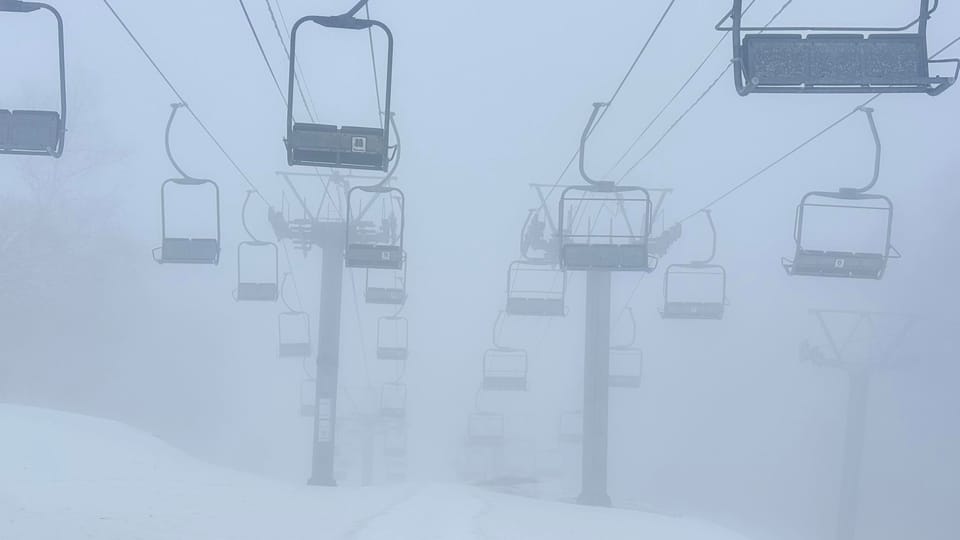
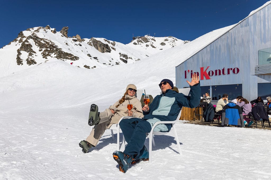
Italy Snow Report
Italian ski areas have also seen fresh snowfall, particularly in the north and west, although totals have generally been lower than further north.
The biggest accumulation was reported in Abruzzo, where Campo Imperatore saw 50cm (20"). Northern resorts such as Sestriere typically recorded 20–40cm (8–16") over recent days.

Italy Snow Forecast
A cold, mostly settled pattern continues, with sub-zero temperatures on higher slopes and milder conditions at lower elevations, where spring thaw cycles are becoming more noticeable.
Switzerland Snow Report
Switzerland has seen substantial snowfall, with multiple storm cycles delivering significant accumulations across the Alps.
Frutigen recorded 108cm (44") in 72 hours, while Engelberg’s weekly total exceeded 1.3m. Wengen also reported 60cm (24"), marking its biggest fall of the season.
Switzerland Snow Forecast
Cold, dry conditions dominate at altitude, helping preserve excellent snow quality. Lower elevations vary more widely, with freeze–thaw cycles influencing surface conditions.
Pyrenees Snow Report
The Pyrenees have experienced a cool and fairly wintry end to March, with below-average temperatures and regular light to moderate snowfall.
Most areas saw 2–5cm (1–2"), although some locations recorded up to 20cm (8") in 24 hours. Grandvalira reported a 36cm (15") snowfall on Sunday. Despite approaching the end of the season, base depths remain exceptional, with many resorts still reporting over 3m of snow on higher slopes.

Pyrenees Snow Forecast
A mainly bright, cool pattern continues, with firm morning pistes and gradual afternoon softening. Slight cooling into next week may bring light snowfall on higher terrain.
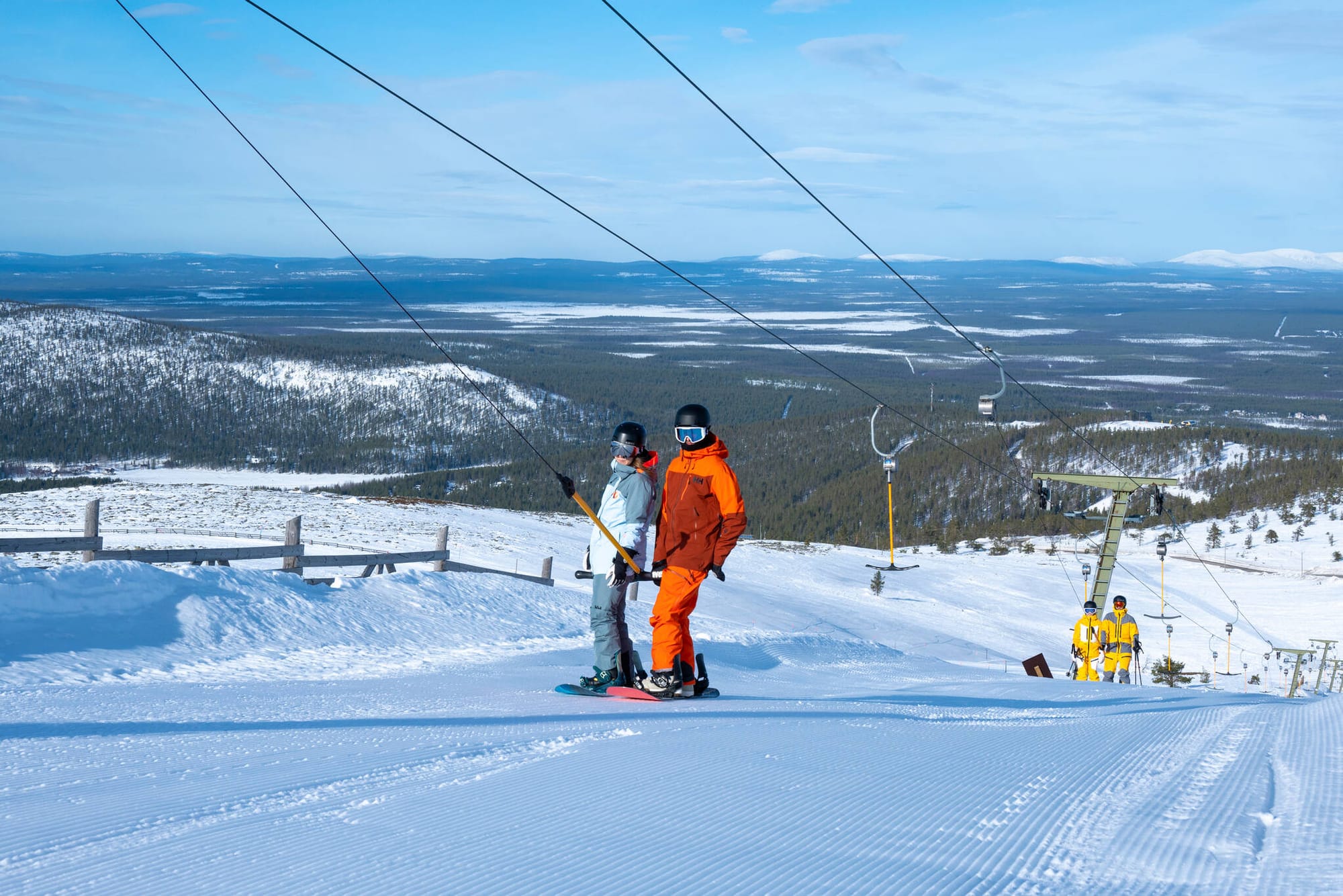
Scandinavia Snow Report
Scandinavian resorts have continued to post consistent snowfall totals of 20–40cm (8–16”), particularly in coastal Norway. While milder periods have brought occasional rain and strong winds, overall conditions remain very good, with most major resorts 95–100% open and planning to stay operational into May.
Scandinavia Forecast
Sub-zero temperatures persist on higher slopes, with bright conditions and occasional snow showers, especially in Norway’s higher resorts. Slightly milder air may return early next week.
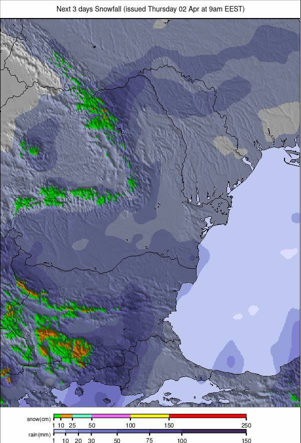
Eastern Europe Snow Report
Winter has made a brief return to eastern Europe, with snowfall reported across parts of Bulgaria and even as far south as Greece. Bansko and Borovets both recorded around 27cm (11"), although many smaller resorts have already closed for the season.

Eastern Europe Snow Forecast
A cold but increasingly spring-like pattern continues, with sub-zero temperatures on upper slopes and milder conditions at lower elevations.
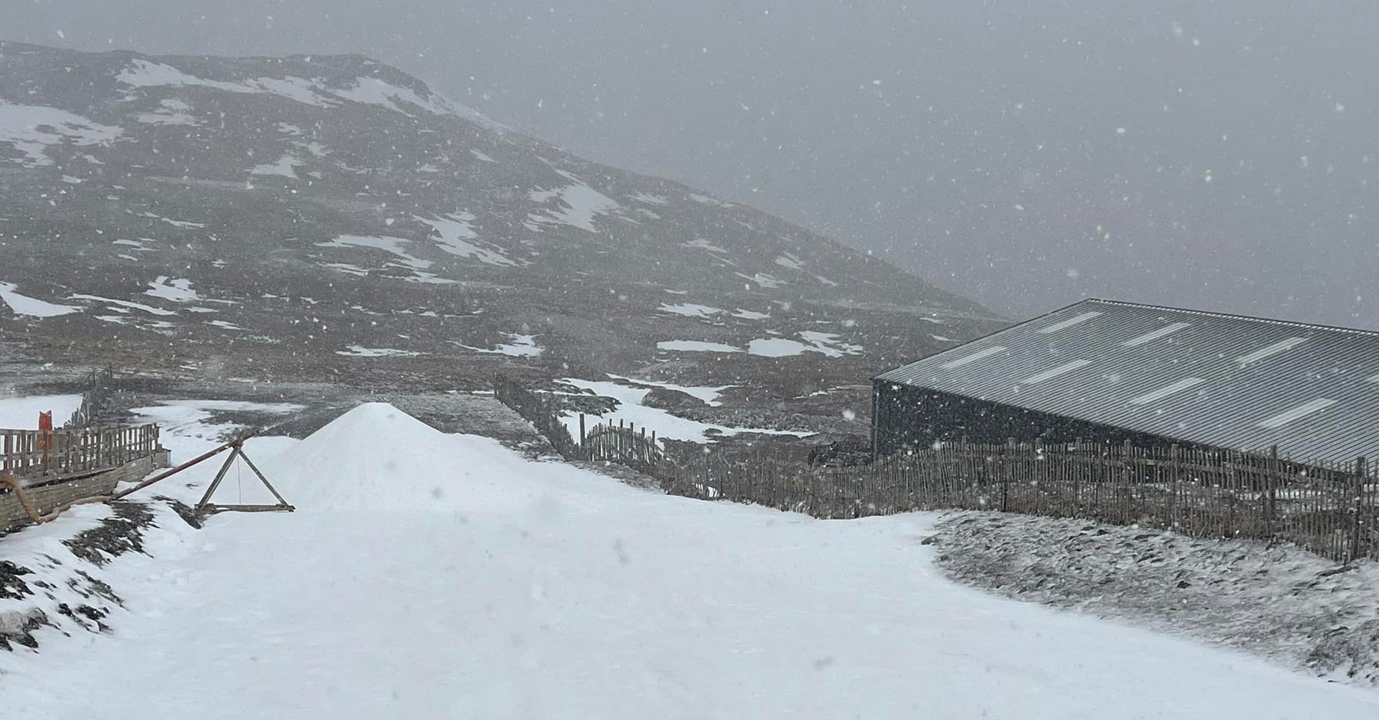
Scotland Snow Report
Scottish centres have seen a mix of fresh snowfall and clear, sunny conditions, producing some of the best late-season skiing days in March at Cairngorm and Glencoe. Cairngorm continues daily operations and is approaching five consecutive months of lift-served snowsports, while other centres remain closed.
Scotland Snow Forecast
Summit temperatures remain sub-zero, with ongoing freeze–thaw cycles and mostly dry, bright conditions expected through the Easter period.