Biggest Snow Storm of the Autumn so Far Moves in to the Alps and Pyrenees
A large storm system has begun moving up the Western side of Europe, bringing heavy snowfall to the Pyrenees and Western Alps which is expected to continue for the next two to four days.
Named ‘Storm Amélie’ in France, where some regions are currently under an amber warning, the storm is expected to deposit anywhere between 50cm (20 inches) and 150cm (five feet) in many mountainous areas, with the heaviest snow forecast above 2,000 metres.
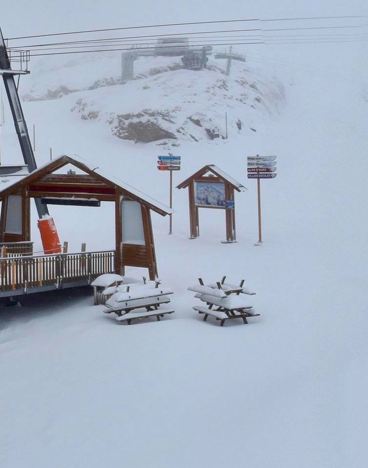
The snow is being driven in on strong winds in many areas leading a number of the 15+ ski areas already open for the 19-20 ski season in the Alps to close their slopes whilst it blows through.
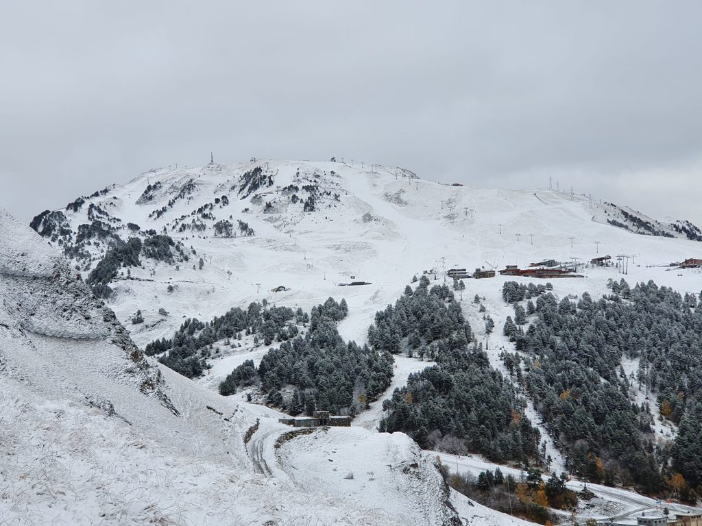
There have been several snowfalls already this autumn but they have been smaller with the heaviest snowfalls reported in the Eastern Alps. This storm is covering a wider area but with the focus in the West, and the Pyrenees.
Tignes, the only area that has opened for the 19-20 season so far in France expects to get around 50cm (20 inches) of snowfall in the next 24 hours then more than 60cm (two feet) more over the next 72 hours but further East it looks more like 30cm for the nine open glaciers and Kitzbuhel in Austria. One of them, and one of those announcing it has closed today, the Stubai, expects 35cm by the end of Tuesday.
The snowfall is expected to continue right across Europe with the already-open Diavolezza glacier near St Moritz in Eastern Switzerland forecast to get nearly 60cm/two feet of snow buy the middle of the week.
The new snow may enable some Swiss areas that had hoped to open in October but have so far delayed doing so, including Andermatt, Laax and Verbier, to open.
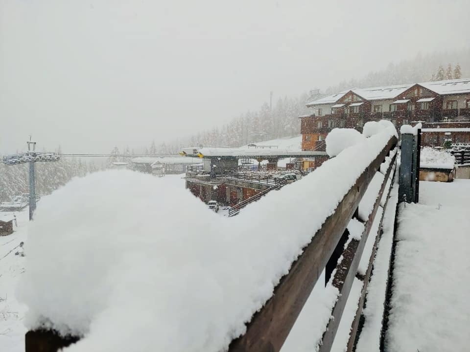
Pictured top is Bardonecchia in Italy this morning.


