The above table gives the weather forecast for The Summit at Snoqualmie at the specific elevation of 1646 m. Our sophisticated weather models allow us to provide snow forecasts for the top, middle and bottom ski stations of The Summit at Snoqualmie. To access the weather forecasts for the other elevations, use the tab navigation above the table. For a wider view of the weather, check out the Weather Map of United States.
Click here to read further information on freezing levels and how we forecast our temperatures.
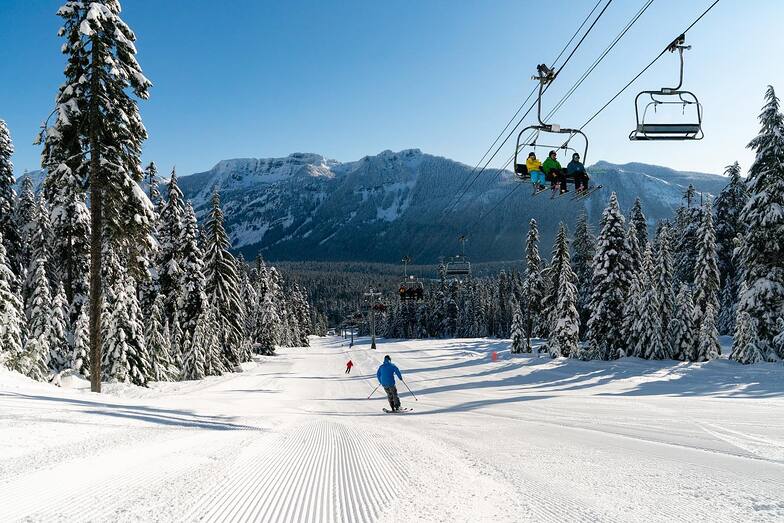
The Summit at Snoqualmie is a great place for the family to ski. Yes, it can rain here, but if you found this site, you know the weather before you go. Summit West is mostly a beginner to intermediate hill and yes, people are learning to ski here. Yes, people sometimes miss a chair fumbling to get on, just you used to do. There is some good steep terrain on Big Thunder. Summit Central has a legit terrain park, some terrific steeps off 360 Chair, and some mellow areas for the kids and beginners.
Not finding challenging terrain, go try Alpental. While not the biggest area, there is some extremely challenging terrain off chair 2.
Yes, sometimes the powder is more moist than in Utah, but that is why K2 invented wide skis, get yourself some mid-fat or full fat skis and tear it up.
Free Snow-Forecast.com weather widget for your website
Embed the The Summit at Snoqualmie weather widget on your site for free. It provides a weekly snapshot of snow and rain conditions across all elevations. Follow the two quick steps to grab your custom code and paste it into your site. Choose between metric or imperial units. Click here to get the code.


 Nearest