

A New Largest Ski Area in New Zealand?
The Remarkables is hoping to overtake Cardrona as New Zealand’s largest ski area under a major NZD 150 million‑plus expansion proposal lodged by owner NZSki.

Next 4 days weather summary:Moderate rain (total 19.0mm), heaviest on Thu night. Warm (max 25°C on Thu afternoon, min 12°C on Wed night). Wind will be generally light. | Days 5-7 weather summary:Light rain (total 2.0mm), mostly falling on Sun night. Warm (max 26°C on Sun afternoon, min 13°C on Sat night). Wind will be generally light. | |||||||||||||||
Thursday 25 | Friday 26 | Saturday 27 | Sunday 28 | Monday 29 | ||||||||||||
night | AM | PM | night | AM | PM | night | AM | PM | night | AM | PM | night | AM | PM | night | |
cloudy | some clouds | rain shwrs | heavy rain | light rain | t-storm risk | rain shwrs | some clouds | some clouds | clear | clear | some clouds | rain shwrs | clear | some clouds | some clouds | |
km/h | ||||||||||||||||
Snow map |  |  |  |  |  |  | ||||||||||
— | — | — | — | — | — | — | — | — | — | — | — | — | — | — | — | |
mm | — | — | 1 | 15 | 1 | 1 | 1 | — | — | — | — | — | 1 | — | — | — |
max °C | 18 | 23 | 25 | 14 | 18 | 23 | 19 | 23 | 25 | 19 | 23 | 26 | 19 | 24 | 26 | 20 |
min °C | 12 | 17 | 17 | 14 | 15 | 23 | 14 | 18 | 24 | 13 | 18 | 24 | 14 | 19 | 26 | 15 |
chill °C | 12 | 17 | 17 | 14 | 15 | 23 | 14 | 18 | 24 | 13 | 18 | 24 | 14 | 19 | 26 | 15 |
Humid % | 79 | 47 | 74 | 97 | 85 | 62 | 88 | 60 | 51 | 86 | 55 | 55 | 81 | 48 | 38 | 62 |
Freeze m | 3150 | 3050 | 3150 | 3250 | 3450 | 3500 | 3750 | 3700 | 3650 | 3600 | 3600 | 3350 | 3550 | 3600 | 3350 | 3600 |
— | 5:11 | — | — | 5:11 | — | — | 5:11 | — | — | 5:11 | — | — | 5:11 | — | — | |
— | — | — | 8:35 | — | — | 8:35 | — | — | 8:35 | — | — | 8:35 | — | — | 8:35 | |
Go pro and carve into:
Avalanche information: National Avalanche Center
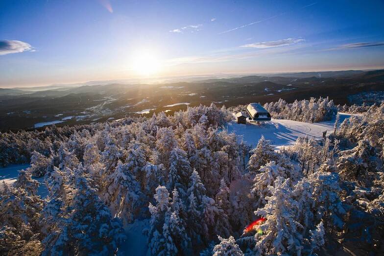
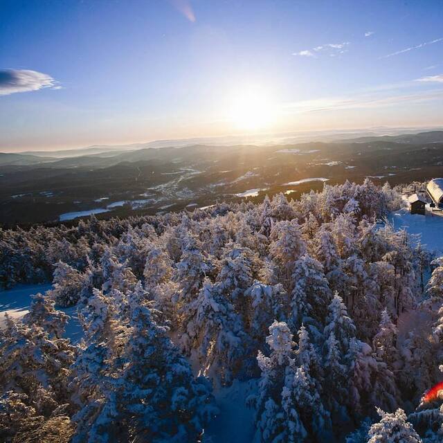
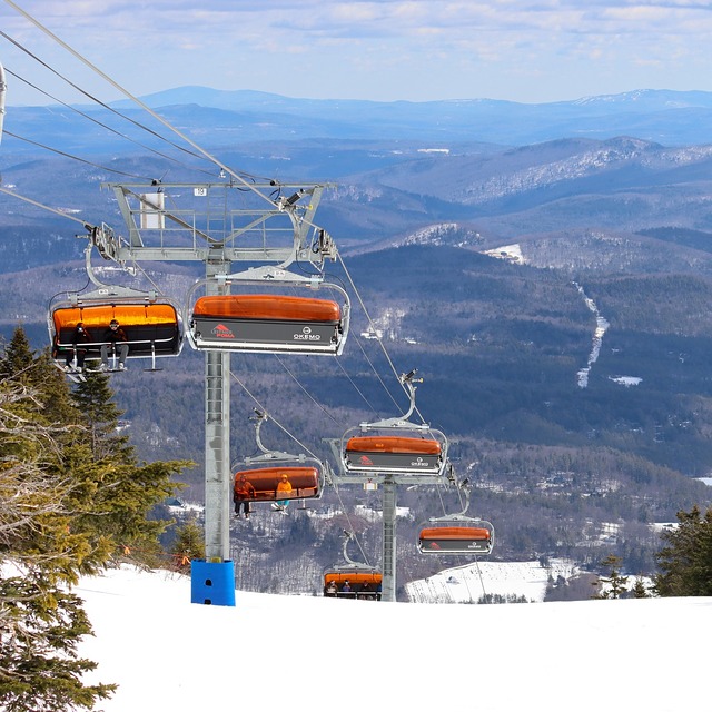
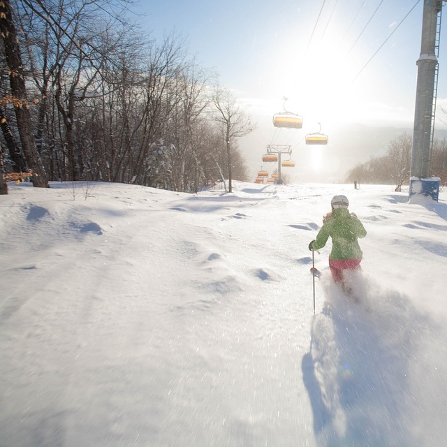
Latest snow reports near Okemo Mountain:
| Top snow depth: | 0 cm |
|---|---|
| Bottom snow depth: | 0 cm |
| Fresh snowfall depth: | — |
| Last snowfall: | 30 May 2026 |
| Snow Alerts | Create Alert |
0.0 | Bluebird Powder days Fresh snow, mostly sunny, light wind. |
|---|---|
0.0 | Powder days Fresh snow, limited sun, any wind. |
0.0 | Bluebird days Average snow, mostly sunny, light wind. |
The above table gives the weather forecast for Okemo Mountain at the specific elevation of 364 m. Our sophisticated weather models allow us to provide snow forecasts for the top, middle and bottom ski stations of Okemo Mountain. To access the weather forecasts for the other elevations, use the tab navigation above the table. For a wider view of the weather, check out the Weather Map of United States.
Click here to read further information on freezing levels and how we forecast our temperatures.
Overall 3.9 Based on 13 votes and 8 reviews
Booked a couple days at Okemo`s Jackson Gore and found some fabulous spring conditions that hold up all day. So I am coming back next week for more! Great deals and incredible snow.
loves2ski from United States writes:
Booked a couple days at Okemo`s Jackson Gore and found some fabulous spring conditions that hold up all day. So I am coming back next week for more! Great deals and incredible snow.


 Nearest