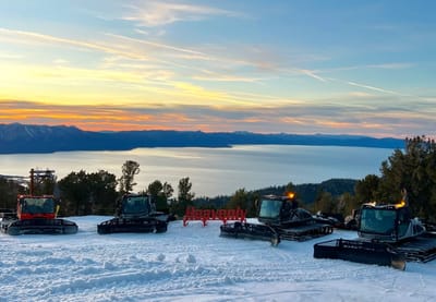
North America Weekly Snow Roundup #308
Weekly Snow News for North America, updated 2 April 2026: US resorts close early amid +20°C warmth, while Canada sees up to 64cm (26") snowfall and strong coverage.


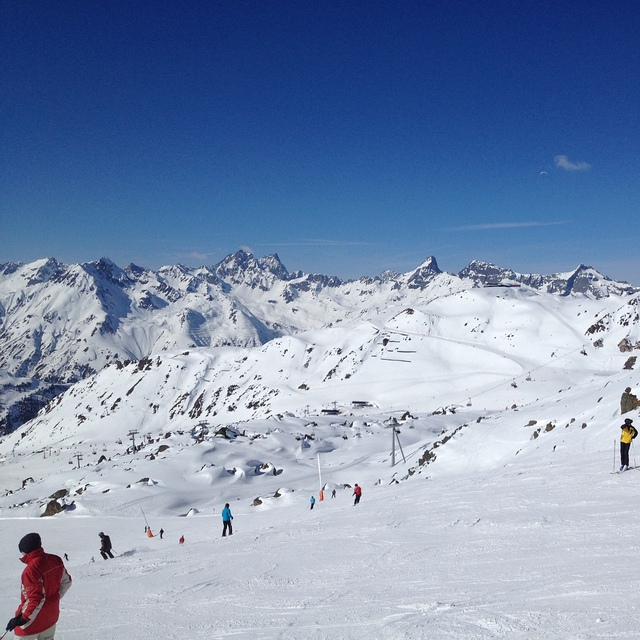
Ischgl Weather (Next 3 days): The snow forecast for Ischgl is: Mostly dry. Temperatures will be below freezing (max 0°C on Sat night, min -6°C on Fri afternoon). Wind will be generally light.
Ischgl Weather (Days 4-6): Mostly dry. Freeze-thaw conditions (max 2°C on Tue morning, min -3°C on Wed night). Wind will be generally light.
| Resort | Snow Depth | Temp. (°C) | Wind (km/h) | Weather | ||
|---|---|---|---|---|---|---|
| Top Lift: | 1.3 m | -6 | ||||
| Middle Lift: | -2 | |||||
| Bottom Lift: | 0.2 m | 2 |

Fri 3 | Saturday 4 | Sunday 5 | Monday 6 | Tuesday 7 | Wednesday 8 | ||||||||||||
PM | night | AM | PM | night | AM | PM | night | AM | PM | night | AM | PM | night | AM | PM | night | |
clear | some clouds | light snow | some clouds | some clouds | cloudy | some clouds | cloudy | some clouds | clear | some clouds | some clouds | clear | clear | clear | some clouds | snow shwrs | |
km/h | |||||||||||||||||
Snow map |  |  |  |  |  |  | |||||||||||
— | — | — | — | — | — | — | — | — | — | — | — | — | — | — | — | — | |
— | — | — | — | — | — | — | — | — | — | — | — | — | — | — | — | — | |
max °C | -5 | -5 | -3 | -1 | 0 | 0 | 0 | -1 | -1 | 0 | 1 | 2 | 2 | 1 | 0 | 1 | 0 |
min °C | -6 | -6 | -4 | -2 | -1 | 0 | 0 | -1 | -2 | -1 | 0 | 1 | 1 | 0 | -1 | 1 | -3 |
-10 | -9 | -8 | -4 | -1 | -2 | 0 | -4 | -4 | -1 | -2 | 1 | 1 | 0 | -3 | 0 | -7 | |
21 | 62 | 93 | 73 | 55 | 55 | 69 | 78 | 65 | 69 | 37 | 30 | 63 | 68 | 53 | 77 | 55 | |
1950 | 1100 | 2350 | 2650 | 2700 | 2900 | 2850 | 2550 | 2650 | 2850 | 3050 | 3100 | 3050 | 2900 | 2800 | 2950 | 2650 | |
— | — | 6:52 | — | — | 6:50 | — | — | 6:48 | — | — | 6:47 | — | — | 6:45 | — | — | |
7:50 | — | — | 7:51 | — | — | 7:52 | — | — | 7:53 | — | — | 7:54 | — | — | 7:55 | — | |
Mostly dry. Temperatures will be below freezing (max 0°C on Sat night, min -6°C on Fri afternoon). Wind will be generally light.
Mostly dry. Freeze-thaw conditions (max 2°C on Tue morning, min -3°C on Wed night). Wind will be generally light.
Latest snow reports near Ischgl:
| Top snow depth: | 130 cm |
|---|---|
| Bottom snow depth: | 20 cm |
| Fresh snowfall depth: | 2 cm |
| Last snowfall: | 2 Apr 2026 |
| Snow Alerts | Create Alert |
0.6 | Bluebird Powder days Fresh snow, mostly sunny, light wind. |
|---|---|
2.0 | Powder days Fresh snow, limited sun, any wind. |
2.0 | Bluebird days Average snow, mostly sunny, light wind. |
The above table gives the weather forecast for Ischgl at the specific elevation of 2873 m. Our sophisticated weather models allow us to provide snow forecasts for the top, middle and bottom ski stations of Ischgl. To access the weather forecasts for the other elevations, use the tab navigation above the table. For a wider view of the weather, check out the Weather Map of Austria.
Click here to read further information on freezing levels and how we forecast our temperatures.
Overall 4.2 Based on 57 votes and 35 reviews
Awful place. Just pure commercialism with no attempt to create a good skiing or mountain experience. No good off-piste, no tree runs. Horrible town. Whole valley is expensive and crass. Anyone serious about skiing should avoid.
Liz buin from Austria writes:
Awful place. Just pure commercialism with no attempt to create a good skiing or mountain experience. No good off-piste, no tree runs. Horrible town. Whole valley is expensive and crass. Anyone serious about skiing should avoid.


 Nearest