NORTH AMERICA WEEKLY ROUNDUP #230
North America Intro
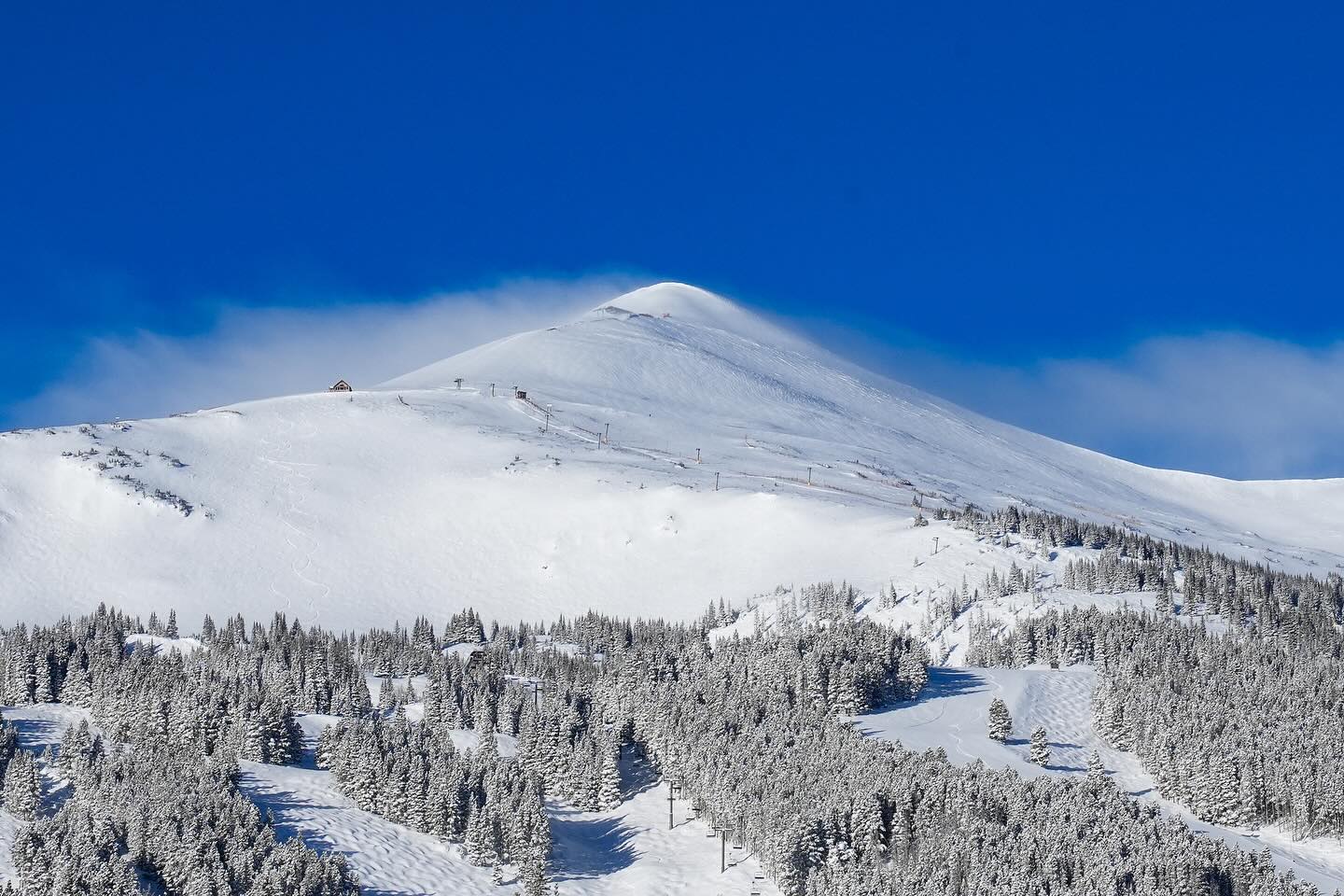
It’s been a good week across much of North America, but particularly in the West Coast and Rockies, where a series of storms have brought plenty more powder to further bolster February snow totals and keep conditions very fresh on the slopes. Although the biggest falls have been in the west, ski areas in the East, Midwest and Mid-Atlantic have also seen decent dumps, improving conditions here too as we near the start of meteorological springtime.
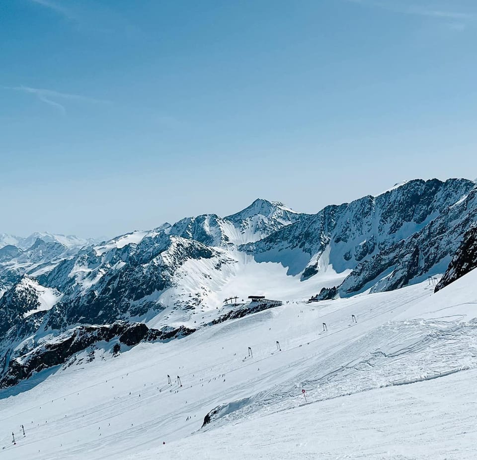
Rockies Report
The latest storm systems brought some good snowfalls across the Rockies and adjacent mountain ranges from last Thursday night onwards. Brighton (104/104” / 260/260cm) in Utah posted the biggest accumulation in the first 24 hours, receiving 17cm (43”) of fresh snowfall ahead of a powder-filled weekend. It was good news too for America’s biggest ski area, Park City Mountain Resort (75/92” / 175/230cm), which is 100% open and posted a 14” (35cm) accumulation in the first 24 hours of the storm. A third Utah area, Alta (64/140″ / 160/351cm) has been posting the continent’s deepest upper slope base depth and reports it is now 100% open for the first time this season. Meanwhile, legendary Jackson Hole (40/108″ / 100/260cm) is also 100% open and also got dumped on.
Rockies Forecast
We’re back to mostly sunny weather for the week ahead with temperatures generally between the mid-20s and high-30s Fahrenheit through the 24-hour cycle at resort level, remaining below freezing above the mid-mountain range. So something of a holding pattern for snow, with a freeze-thaw impact to the lower slopes.
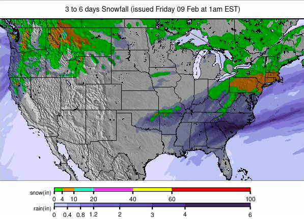
Image: USA summary overview snowfall forecast for the next 3-6 days.
USA West Report
The famous ‘Pineapple Express’ weather system really delivered for the US West this week, with the area receiving a second set of major storms beginning just over a week after the last one ended, and continuing, on and off, through much of the past week. California was once again a big beneficiary with many areas reporting at least a foot (30cm) of snowfall in the first 24 hours of the system on Thursday/Friday last week, setting up the region for an epic powder weekend. Mammoth Mountain (213/317cm / 85/125”) was one of the big winners, with several feet of new snowfall taking it through the 200″ (5 metres) season-to-date snowfall total at its base, more than half of which fell in February.
USA West Forecast
The snow showers are easing now and clear skies with sunny weather are forecast for the week ahead. There are predicted lows of mid-teens Fahrenheit overnight, and highs in the mid-20s Fahrenheit.
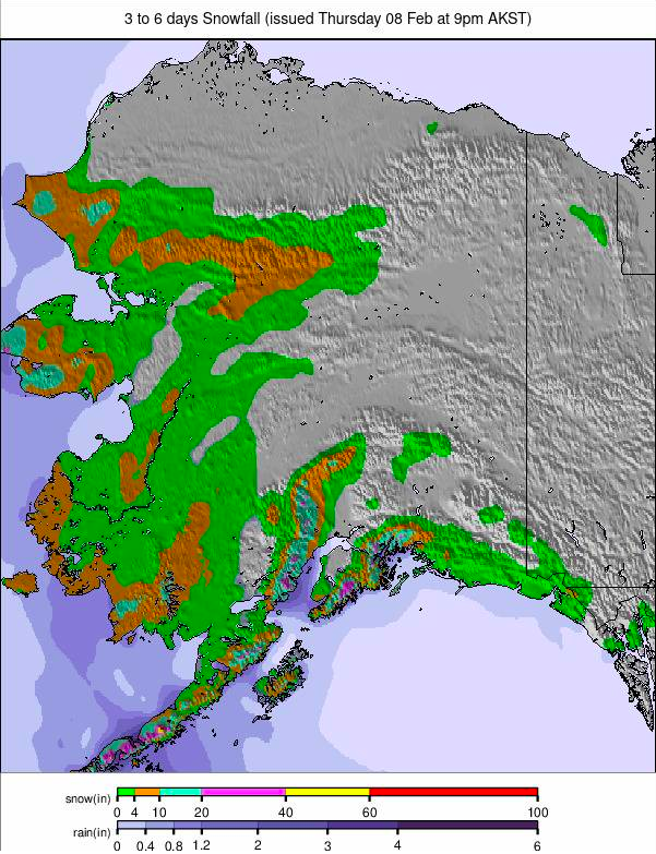
Image: Alaska snowfall report for the next 3-6 days.
Midwest Report
After a few lacklustre weeks with above-freezing temperatures, it’s been a good seven days for ski areas across much of the Midwest with some of the best snowfalls of the season. Temperatures have also remained close to, or below, freezing all week, including in the afternoons. Minnesota was one of the big winners with Wild Mountain (10/24″ / 25/60″), famously one of the first in the US to open for skiing each October, posting a six-inch (15cm) accumulation and reporting powder conditions. Terry Peak (8/12″ / 20/30cm) in South Dakota reported a 4″/10cm snowfall as well– a big boost given the meagre depths. Michigan ski areas continue to top the accumulated depth tables though, led by 100% open Ski Brule (48/48″ / 120/120cm).
Midwest Forecast
Mostly dry conditions with some states like Wisconsin staying sunny, others like Michigan getting overcast skies. Temperatures are mostly below freezing, in the 20s and low 30s.
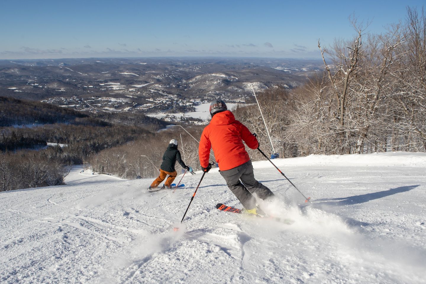
USA East Report
A very positive mood on the US East Coast as storms delivered some decent dumps ahead of the President’s Day holiday weekend. Although we were talking up to a foot, rather than feet of snow, this has been one of the coldest, snowiest weeks of the season and skiers and boarders have been enjoying the pow. There have been some big snowfalls in the Mid-Atlantic region to the south too with Pennsylvania one of the big winners with its largest resort, Blue Mountain Resort, reporting 12 inches (30cm) of snowfall going into the weekend. Camelback Resort reported 9-12 inches (23-30cm) and Jack Frost/Big Boulder 12”+ (30cm+) each.
USA East Forecast
Following a few dry, sunny days which could see temperatures climb up into the low 40s in the afternoon, the next front is due to move in Thursday bringing significant snowfall, then continuing into the weekend with lighter falls.
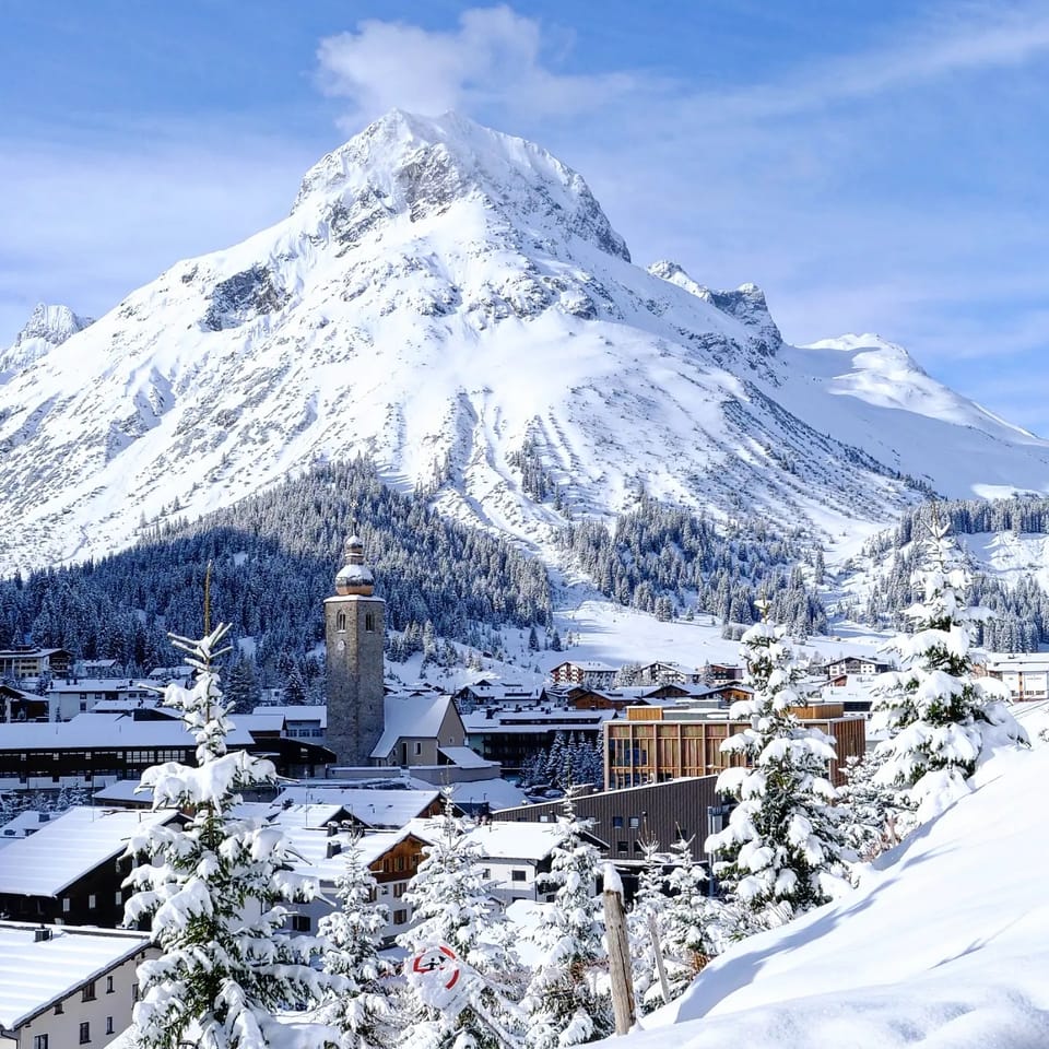
Canada
Canada West Report
In a sign that conditions are looking somewhat better now in Western Canada, particularly in Alberta and in the eastern half of BC, the Freeride World Tour finally staged its first scheduled stop of the 2024 campaign at Kicking Horse (40/120cm / 16/48″), a resort where much of the freeride terrain was temporarily closed a few weeks ago due to warm, wet weather. Since then there’s been plenty of snowfall. Whistler Blackcomb (10/148cm / 4/59”), on the coast, is up to about 75% open and reported over 30cm (12”) of snowfall this week and again improving conditions on higher ground. The big event there this week was a visit by Prince Harry and Meghan, Duchess of Sussex, a year ahead of the resort staging the Invictus Games.
Canada West Forecast
Continuing sunny skies are forecast for the coming week, with temperatures mostly below freezing but creeping up to +3 or +4C inland at bases in the afternoons, and +5 to +8C on the BC coast.
Canada East Report
Low temperatures and light snowfalls have been a feature of the past seven days in eastern Canada, although the past few days have turned clear and sunny for most. With temperatures dipping to -20C on high slopes overnight and reaching highs of -5C in valleys in the afternoons, it has been time to layer up and enjoy the crisp snow. Most of the region’s ski areas have the majority of their slopes open with some like Sommet Saint-Sauveur (60/90cm / 12/36”) now 100% open. However, despite posting a very thin base layer at its base, Quebec and the East’s largest ski area, Mont Tremblant (6/130cm / 3/52”), has the most terrain open in the region at 90%.
Canada East Forecast
There will be a dry and sunny midweek but a fresh front bringing snowfall just in time for the weekend. Temperatures down towards -5 C at resort level, and -15C overnight at the top of the slopes.