

comScore pixel
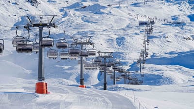
snowy ski resort
Ski USA - Oregon

Warner Canyon Snow Forecast

42.24° N 120.30° W

Weather Forecast for Warner Canyon at 1830 m altitude

Next snow in Warner Canyon:
1.8 cm on Fri 13th
Issued:
3 pm 11 Nov 2026 (local time)
Forecast update in:
 hr.  min.
Last 6 daysScroll left for last 6 daysNow
Wed
11
Thursday
12
Friday
13
Saturday
14
Sunday
15
Monday
16
PM
night
AM
PM
night
AM
PM
night
AM
PM
night
AM
PM
night
AM
PM
night
part cloud
part cloud
part cloud
part cloud
part cloud
light rain
light snow
light snow
light snow
rain showers
part cloud
light rain
light rain
light snow
light snow
light snow
light snow
some clouds
some clouds
some clouds
some clouds
some clouds
light rain
light snow
light snow
light snow
rain shwrs
some clouds
light rain
light rain
light snow
light snow
light snow
light snow
km/h
10
SSW
15
S
20
SSW
20
S
35
SSW
50
S
25
SW
30
SW
20
SW
15
SW
20
SW
20
SW
20
SSW
15
SW
10
SW
5
NNE
5
NNE
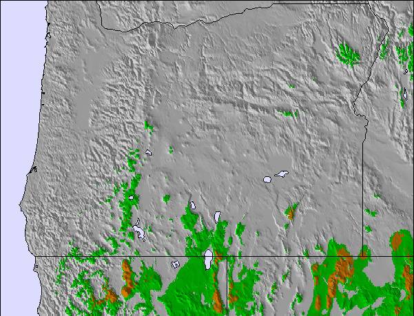
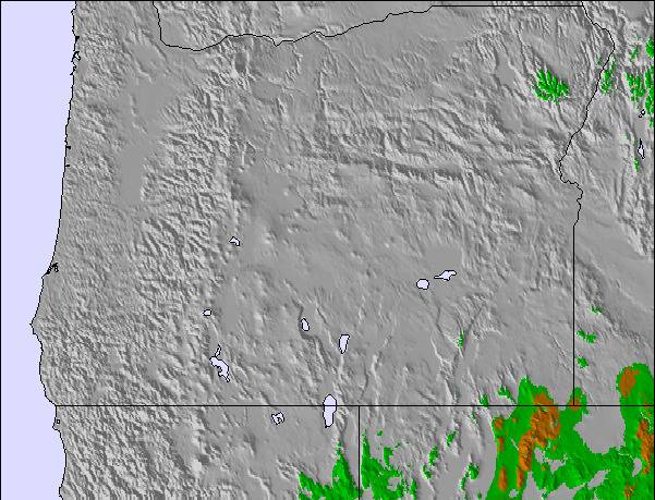
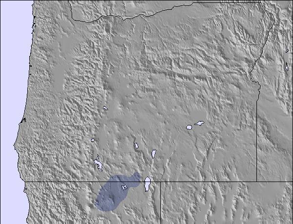
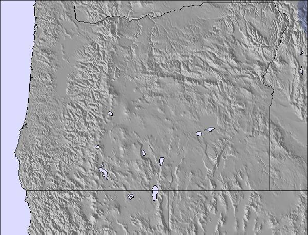
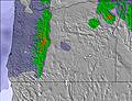
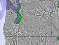
Snow map
Snow map
Snow map
Snow map
Snow map
Snow map
Snow map
Snowflake cm
—
—
—
—
—
—
4
1
—
—
—
—
—
1
—
1
1
 mm
—
—
—
—
—
1
—
—
1
1
—
1
1
3
—
—
—
max °C
13
9
13
11
7
6
1
0
2
3
1
3
3
3
1
0
0
min °C
11
7
11
8
5
5
0
0
0
2
1
3
3
1
1
0
-3
 chill °C
9
4
9
5
-1
-1
-6
-7
-5
-2
-4
-2
-2
-3
-2
0
-3
Humid %
22
27
23
28
51
65
96
94
96
73
82
77
94
99
96
99
95
Freeze m
3950
3700
3500
3350
2950
2550
2000
1750
1900
2600
2550
2600
2500
2200
2000
1850
1700
Sea lvl1000m2000m3000m4000m5000m
1281210661013133210-21161410782133-144331-2
Sunrise
—
—
6:47
—
—
6:48
—
—
6:50
—
—
6:50
—
—
6:52
—
—
Sunset
4:43
—
—
4:42
—
—
4:40
—
—
4:39
—
—
4:38
—
—
4:37
—

Next 3 days weather summary:

Mild with light rain (total 2.0mm) on Fri morning Becoming colder with a light covering of snow, mostly falling on Fri afternoon. Freeze-thaw conditions (max 13°C on Wed afternoon, min 0°C on Fri afternoon). Winds increasing (light winds from the SSW on Wed afternoon, near gales from the S by Fri morning).

Days 4-6 weather summary:

Light rain (total 6.0mm) at first, then becoming colder with a dusting of snow on Sun night. Freeze-thaw conditions (max 3°C on Sat afternoon, min -3°C on Mon night). Wind will be generally light.

  • Circle CheckHourly & 16-day forecasts
  • Circle CheckView past weather
  • Circle CheckFast, ad-free browsing
  • Circle CheckSnow hindcasts & History
Unlocks app & website

Avalanche information: National Avalanche Center


Snow Radar

Latest snow reports near Warner Canyon:

No recent snow reports

No recent snow reports

Warner Canyon Snow Conditions

Top snow depth:—
Bottom snow depth:—
Fresh snowfall depth:—
Last snowfall:31 Oct 2026
Snow AlertsCreate Alert
Other resorts in USA - Oregon are reporting: powder (0) / good piste (0)

Snow-Forecast Partner Offers

Snow History

Week 2 of November has on average:

0.2
Bluebird Powder days
Fresh snow, mostly sunny, light wind.
0.5
Powder days
Fresh snow, limited sun, any wind.
0.3
Bluebird days
Average snow, mostly sunny, light wind.


Snow-Forecast Partner Offers


Map placeholder