

Global Weekly Snow Roundup #318
Weekly Snow News for the world, updated 11 June 2026: Australia's season begins, Val d’Isère reopens and major snowfall is forecast for the Andes.

Next 3 days weather summary:Mostly dry. Mild temperatures (max 7°C on Fri night, min 3°C on Fri afternoon). Wind will be generally light. | Days 4-6 weather summary:Mostly dry. Mild temperatures (max 6°C on Wed afternoon, min 3°C on Mon afternoon). Wind will be generally light. | ||||||||||||||||
Fri 12 | Saturday 13 | Sunday 14 | Monday 15 | Tuesday 16 | Wednesday 17 | ||||||||||||
PM | night | AM | PM | night | AM | PM | night | AM | PM | night | AM | PM | night | AM | PM | night | |
clear | clear | clear | clear | clear | some clouds | clear | clear | clear | clear | some clouds | clear | some clouds | some clouds | some clouds | clear | clear | |
km/h | |||||||||||||||||
Snow map |  |  |  |  |  |  | |||||||||||
— | — | — | — | — | — | — | — | — | — | — | — | — | — | — | — | — | |
— | — | — | — | — | — | — | — | — | — | — | — | — | — | — | — | — | |
max °C | 4 | 7 | 7 | 5 | 6 | 5 | 4 | 4 | 3 | 3 | 4 | 3 | 4 | 4 | 4 | 6 | 6 |
min °C | 3 | 4 | 6 | 5 | 6 | 5 | 4 | 4 | 3 | 3 | 3 | 3 | 4 | 3 | 4 | 5 | 5 |
-1 | 0 | 4 | 3 | 5 | 2 | 1 | 1 | 0 | 0 | 0 | 1 | 2 | 0 | 3 | 5 | 5 | |
65 | 19 | 15 | 55 | 15 | 14 | 55 | 25 | 40 | 58 | 31 | 60 | 73 | 70 | 60 | 72 | 71 | |
3800 | 4200 | 4200 | 4050 | 4100 | 3950 | 3850 | 3850 | 3650 | 3700 | 3800 | 3650 | 3800 | 3750 | 3900 | 4200 | 4200 | |
— | — | 5:45 | — | — | 5:45 | — | — | 5:45 | — | — | 5:45 | — | — | 5:45 | — | — | |
— | 9:21 | — | — | 9:22 | — | — | 9:22 | — | — | 9:22 | — | — | 9:22 | — | — | 9:22 | |
Go pro and carve into:
Avalanche information: European Avalanche Warning Services (EAWS)
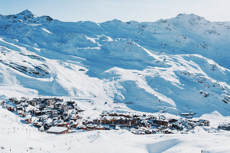
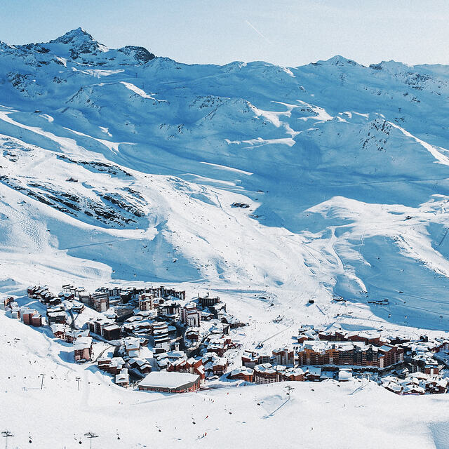
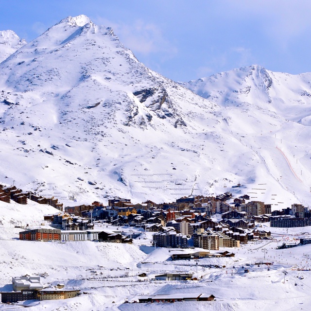
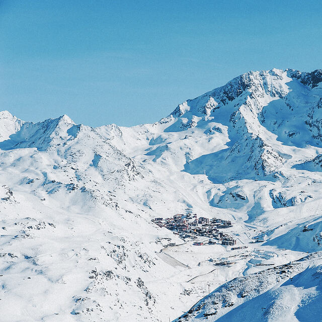
Latest snow reports near Val Thorens:
| Top snow depth: | 0 cm |
|---|---|
| Bottom snow depth: | 0 cm |
| Fresh snowfall depth: | — |
| Last snowfall: | 4 Jun 2026 |
| Snow Alerts | Create Alert |
0.1 | Bluebird Powder days Fresh snow, mostly sunny, light wind. |
|---|---|
0.7 | Powder days Fresh snow, limited sun, any wind. |
0.1 | Bluebird days Average snow, mostly sunny, light wind. |
The above table gives the weather forecast for Val Thorens at the specific elevation of 3230 m. Our sophisticated weather models allow us to provide snow forecasts for the top, middle and bottom ski stations of Val Thorens. To access the weather forecasts for the other elevations, use the tab navigation above the table. For a wider view of the weather, check out the Weather Map of France.
Click here to read further information on freezing levels and how we forecast our temperatures.
Overall 4.3 Based on 79 votes and 44 reviews
Val Tho is probably one of the best resorts in the world, and definitely in the top 5 in Europe, if not the best. It is very high at town centre, which keeps it snowsure for the season, even when it is, let's face it, very warm for the time of year. It's another year where the resort prep of pistes is very high standard, as you would expect. Not just in VT but also the rest of the area. Snow quality is still pretty good even though it hasn't snowed in a while now and has been warmer than you may expect through late Jan. The VT Park has had some investment over the last while and they've been putting in land shaping to help if they don't have a lot of snowfall. This season though they've got a lot to be fair. And they've done a great job with it. Shaping is their usual very high standards, and they've got a good balance with options to help people get into it, so smaller, medium, large and booter. There are some cool smaller features around that people are enjoying, like a mushroom type thing at the bottom of the park, which is very popular, and a medium sized hip. It's good to see tha park as popular as it is at the moment in Val Thorens. It should be showing the operator it is an investment worth every penny they put into it. It always provides a memorable spectacle for people even just to watch, and remember long after their trip. You would have to say, all in all, Val Tho is rightly a top pick. And the way things are going with global temperatures rising, you would say this top pick will remain so owing to its high altitude across the entire area on the VT pass.
Baz from United Kingdom writes:
Val Tho is probably one of the best resorts in the world, and definitely in the top 5 in Europe, if not the best. It is very high at town centre, which keeps it snowsure for the season, even when it is, let's face it, very warm for the time of year. It's another year where the resort prep of pistes is very high standard, as you would expect. Not just in VT but also the rest of the area. Snow quality is still pretty good even though it hasn't snowed in a while now and has been warmer than you may expect through late Jan.
The VT Park has had some investment over the last while and they've been putting in land shaping to help if they don't have a lot of snowfall. This season though they've got a lot to be fair. And they've done a great job with it. Shaping is their usual very high standards, and they've got a good balance with options to help people get into it, so smaller, medium, large and booter. There are some cool smaller features around that people are enjoying, like a mushroom type thing at the bottom of the park, which is very popular, and a medium sized hip. It's good to see tha park as popular as it is at the moment in Val Thorens. It should be showing the operator it is an investment worth every penny they put into it. It always provides a memorable spectacle for people even just to watch, and remember long after their trip.
You would have to say, all in all, Val Tho is rightly a top pick. And the way things are going with global temperatures rising, you would say this top pick will remain so owing to its high altitude across the entire area on the VT pass.


 Nearest