

Global Weekly Snow Roundup #318
Weekly Snow News for the world, updated 11 June 2026: Australia's season begins, Val d’Isère reopens and major snowfall is forecast for the Andes.

Next 4 days weather summary:Light rain (total 6.0mm), mostly falling on Sat afternoon. Very mild (max 12°C on Mon afternoon, min 5°C on Sat night). Wind will be generally light. | Days 5-7 weather summary:Mostly dry. Very mild (max 13°C on Tue afternoon, min 11°C on Mon night). Wind will be generally light. | |||||||||||||||
Saturday 13 | Sunday 14 | Monday 15 | Tuesday 16 | Wednesday 17 | ||||||||||||
night | AM | PM | night | AM | PM | night | AM | PM | night | AM | PM | night | AM | PM | night | |
some clouds | clear | t-storm risk | light rain | clear | clear | clear | clear | clear | some clouds | some clouds | cloudy | some clouds | clear | clear | clear | |
km/h | ||||||||||||||||
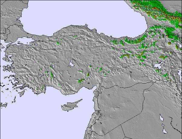
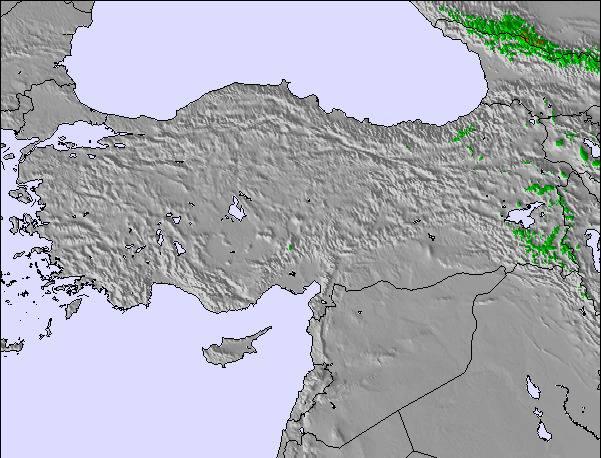
Snow map |  |  |  | 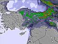 | 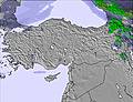 | 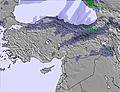 | ||||||||||
— | — | — | — | — | — | — | — | — | — | — | — | — | — | — | — | |
— | — | 2 | 4 | — | — | — | — | — | — | — | — | — | — | — | — | |
max °C | 10 | 7 | 7 | 6 | 6 | 8 | 9 | 11 | 12 | 12 | 12 | 13 | 13 | 12 | 12 | 12 |
min °C | 7 | 7 | 7 | 5 | 5 | 7 | 8 | 9 | 11 | 11 | 12 | 12 | 12 | 11 | 12 | 11 |
7 | 7 | 6 | 2 | 3 | 5 | 6 | 8 | 11 | 11 | 12 | 11 | 11 | 11 | 12 | 10 | |
49 | 72 | 79 | 92 | 68 | 43 | 31 | 27 | 35 | 25 | 28 | 41 | 30 | 38 | 52 | 48 | |
3750 | 3500 | 3500 | 3350 | 3250 | 3450 | 3750 | 3950 | 4000 | 4050 | 3950 | 4000 | 4000 | 3950 | 4000 | 4100 | |
— | 5:33 | — | — | 5:33 | — | — | 5:33 | — | — | 5:33 | — | — | 5:33 | — | — | |
— | — | 8:32 | — | — | 8:32 | — | — | 8:34 | — | — | 8:34 | — | — | 8:34 | — | |
Go pro and carve into:
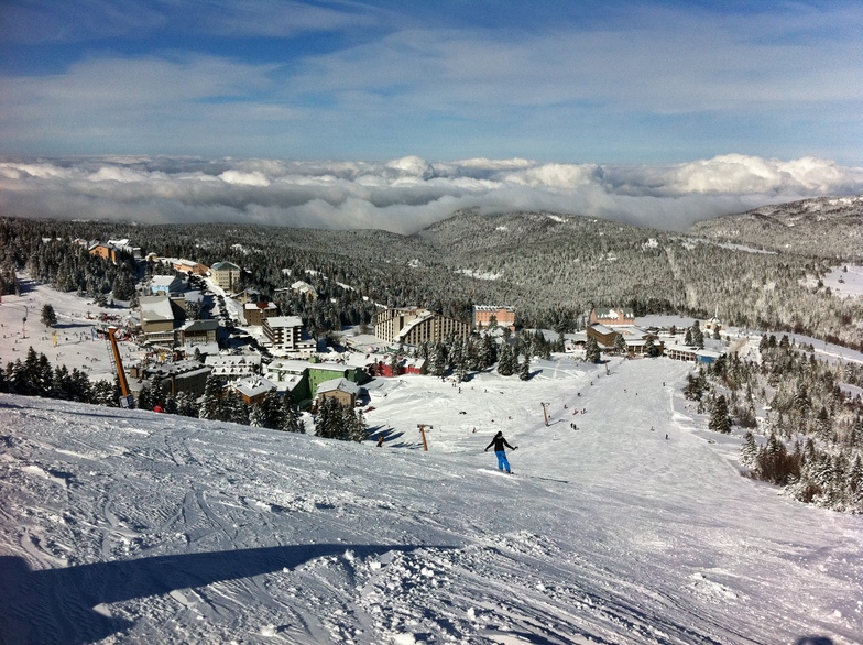
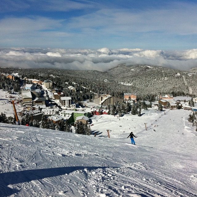
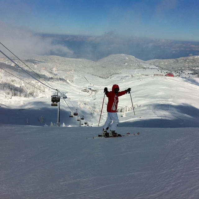
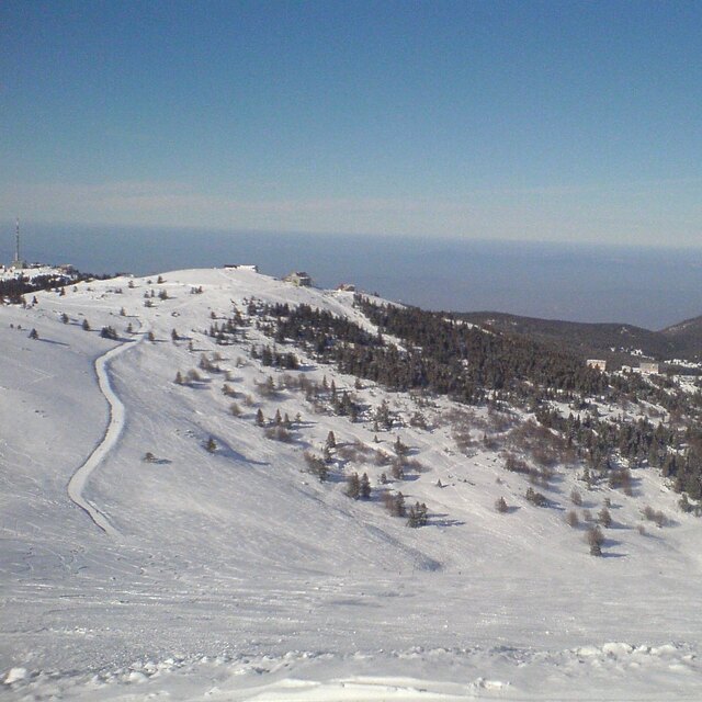
Latest snow reports near Uludağ:
| Top snow depth: | — |
|---|---|
| Bottom snow depth: | — |
| Fresh snowfall depth: | — |
| Last snowfall: | 4 May 2026 |
| Snow Alerts | Create Alert |
0.0 | Bluebird Powder days Fresh snow, mostly sunny, light wind. |
|---|---|
0.0 | Powder days Fresh snow, limited sun, any wind. |
0.0 | Bluebird days Average snow, mostly sunny, light wind. |
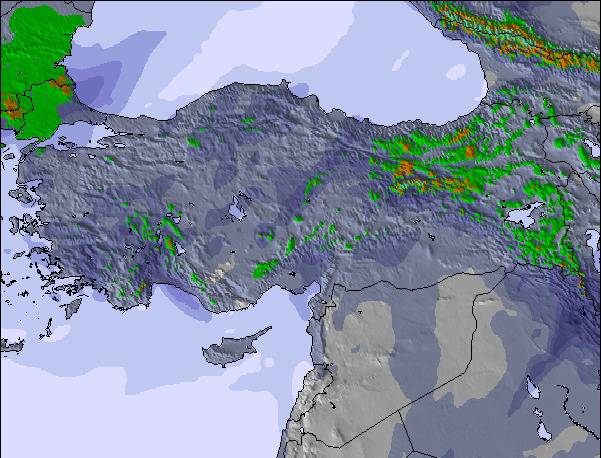
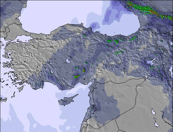
The above table gives the weather forecast for Uludağ at the specific elevation of 2322 m. Our sophisticated weather models allow us to provide snow forecasts for the top, middle and bottom ski stations of Uludağ. To access the weather forecasts for the other elevations, use the tab navigation above the table. For a wider view of the weather, check out the Weather Map of Turkey.
Click here to read further information on freezing levels and how we forecast our temperatures.
Resort name is also written as Uludag.
Overall 3.6 Based on 57 votes and 51 reviews
Dün Uludağ'da ydım rezalet teleferik hariç her şey berbat kıyafetler kirli ıslak evler berbat pislik hiçinde yemek yenilen yerler ijyenik değil kayak yerleri kuralsız acemide usta kayakçıda aynı kayak yerini kullanıyor hiç hoşuma gitmedi fiyatlar uçmuş ama hizmet sıfır
Osman GEZEN from Turkey writes:
Dün Uludağ'da ydım rezalet teleferik hariç her şey berbat kıyafetler kirli ıslak evler berbat pislik hiçinde yemek yenilen yerler ijyenik değil kayak yerleri kuralsız acemide usta kayakçıda aynı kayak yerini kullanıyor hiç hoşuma gitmedi fiyatlar uçmuş ama hizmet sıfır

 Nearest