Heavy rain (total 100.0mm), heaviest during Mon night. Later becoming colder with a dusting of snow on Tue night. Freeze-thaw conditions (max 6°C on Mon night, min -3°C on Tue night). Mainly severe gales.
Days 4-6 weather summary:
A heavy fall of snow, heaviest during Wed night. Freeze-thaw conditions (max 1°C on Wed night, min -4°C on Fri night). Winds decreasing (near gales from the WNW on Wed night, calm by Fri night).
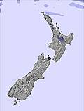
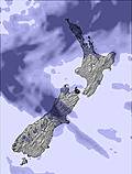
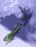
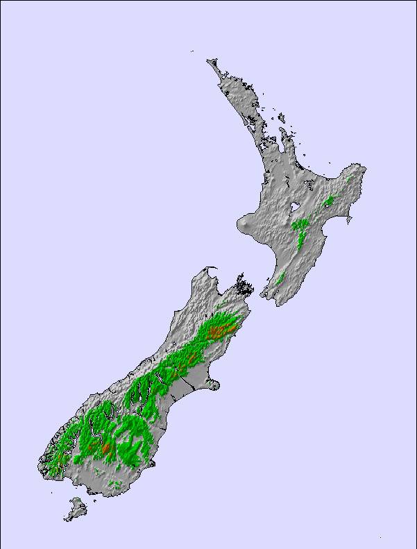
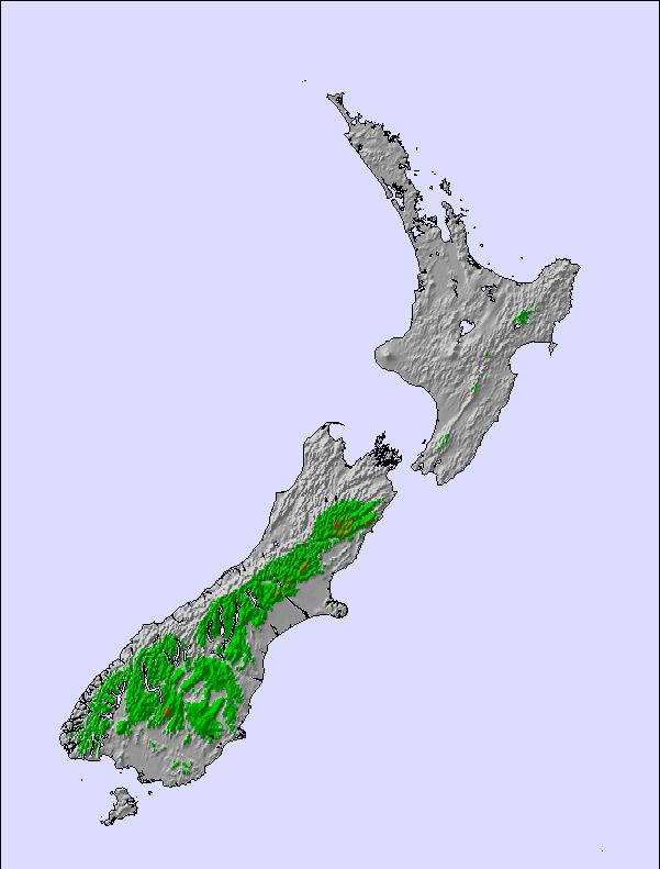
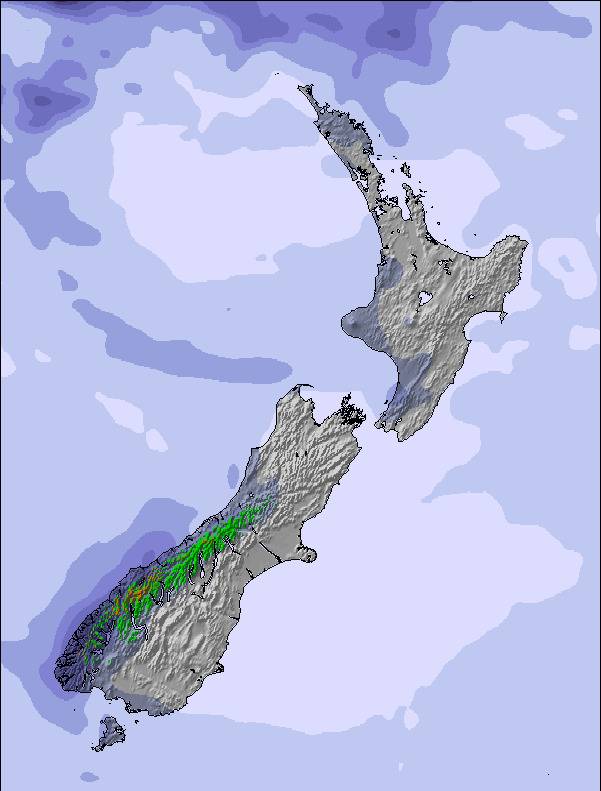
The above table gives the weather forecast for Temple Basin at the specific elevation of 1708 m. Our sophisticated weather models allow us to provide snow forecasts for the top, middle and bottom ski stations of Temple Basin. To access the weather forecasts for the other elevations, use the tab navigation above the table. For a wider view of the weather, check out the Weather Map of New Zealand.
Click here to read further information on freezing levels and how we forecast our temperatures.
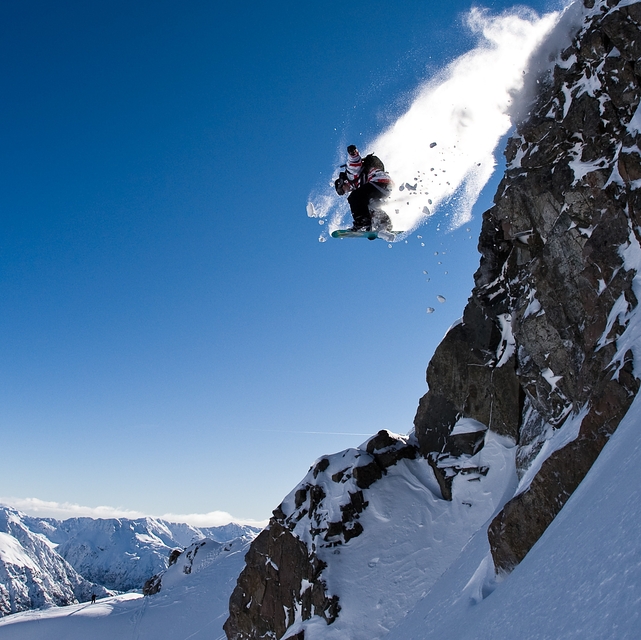
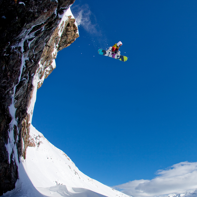
Temple basin is a cool environment, particularly for younger people. Although there are negatives associated with skiing Temple (rope tows, avalanche danger, difficult access to some of the very best terrain, sharing dorm rooms). However, these things may not sound like negatives to some. The very best terrain here is 'experts only' so for some that is a big plus.
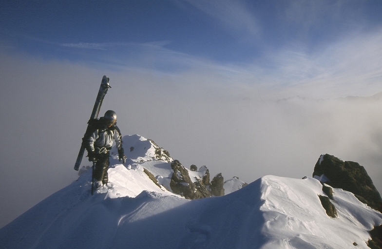
If you are an intermediate to advanced skier there is fun to be had, though more limited. It might, however, be a place to try and introduce yourself to bigger mountain skiing; deeper powder, steeper slopes, chutes, climb-only accessed terrain. It really has it all for a budding big mountain rider or alpinist. The scenery is also spectacular on a good day, though the weather is quite unpredictable I would imagine. Choose your days carefully.
Temple basin is a cool environment, particularly for younger people. Although there are negatives associated with skiing Temple (rope tows, avalanche danger, difficult access to some of the very best terrain, sharing dorm rooms). However, these things may not sound like negatives to some. The very best terrain here is 'experts only' so for some that is a big plus.
If you are an intermediate to advanced skier there is fun to be had, though more limited. It might, however, be a place to try and introduce yourself to bigger mountain skiing; deeper powder, steeper slopes, chutes, climb-only accessed terrain. It really has it all for a budding big mountain rider or alpinist. The scenery is also spectacular on a good day, though the weather is quite unpredictable I would imagine. Choose your days carefully.
Free Snow-Forecast.com weather widget for your website
Embed the Temple Basin weather widget on your site for free. It provides a weekly snapshot of snow and rain conditions across all elevations. Follow the two quick steps to grab your custom code and paste it into your site. Choose between metric or imperial units. Click here to get the code.






 Snow
Snow Hourly & 16-day forecasts



 Sign up or Login to access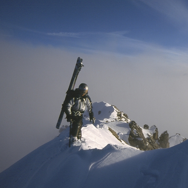
 Upload new photo
 Nearest