

Global Weekly Snow Roundup #318
Weekly Snow News for the world, updated 11 June 2026: Australia's season begins, Val d’Isère reopens and major snowfall is forecast for the Andes.

Next 3 days weather summary:Some drizzle, heaviest during Fri night. Very mild (max 16°C on Sun afternoon, min 5°C on Fri night). Winds decreasing (fresh winds from the WNW on Fri afternoon, calm by Sun night). | Days 4-6 weather summary:Mostly dry. Very mild (max 17°C on Mon afternoon, min 9°C on Tue night). Winds increasing (light winds from the W on Mon morning, near gales from the W by Tue afternoon). | |||||||||||||||||
Friday 12 | Saturday 13 | Sunday 14 | Monday 15 | Tuesday 16 | Wednesday 17 | |||||||||||||
AM | PM | night | AM | PM | night | AM | PM | night | AM | PM | night | AM | PM | night | AM | PM | night | |
clear | some clouds | rain shwrs | clear | some clouds | clear | clear | clear | clear | some clouds | some clouds | some clouds | clear | clear | clear | clear | clear | clear | |
km/h | ||||||||||||||||||
Snow map | 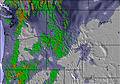 | 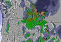 | 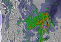 |  |  | 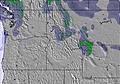 | ||||||||||||
— | — | — | — | — | — | — | — | — | — | — | — | — | — | — | — | — | — | |
— | — | 1 | — | — | — | — | — | — | — | — | — | — | — | — | — | — | — | |
max °C | 9 | 11 | 7 | 9 | 13 | 12 | 12 | 16 | 16 | 16 | 17 | 17 | 16 | 17 | 15 | 12 | 15 | 14 |
min °C | 7 | 9 | 5 | 5 | 12 | 9 | 9 | 15 | 14 | 14 | 17 | 14 | 13 | 16 | 9 | 9 | 13 | 13 |
4 | 5 | 2 | 3 | 11 | 7 | 8 | 15 | 14 | 14 | 16 | 12 | 11 | 14 | 7 | 7 | 11 | 12 | |
48 | 50 | 70 | 50 | 34 | 39 | 27 | 28 | 38 | 41 | 40 | 44 | 48 | 52 | 49 | 29 | 38 | 35 | |
2900 | 3000 | 3100 | 3050 | 3300 | 3350 | 3500 | 3800 | 4000 | 4150 | 4450 | 4600 | 4400 | 4300 | 3700 | 3650 | 3750 | 4100 | |
4:46 | — | — | 4:46 | — | — | 4:46 | — | — | 4:46 | — | — | 4:46 | — | — | 4:46 | — | — | |
— | — | 8:40 | — | — | 8:42 | — | — | 8:42 | — | — | 8:43 | — | — | 8:43 | — | — | 8:44 | |
Go pro and carve into:
Avalanche information: National Avalanche Center
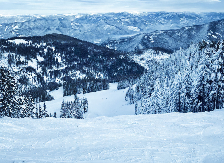
Latest snow reports near Silver Mountain:
| Top snow depth: | — |
|---|---|
| Bottom snow depth: | — |
| Fresh snowfall depth: | 1.0 cm |
| Last snowfall: | 10 Jun 2026 |
| Snow Alerts | Create Alert |
0.0 | Bluebird Powder days Fresh snow, mostly sunny, light wind. |
|---|---|
0.4 | Powder days Fresh snow, limited sun, any wind. |
0.0 | Bluebird days Average snow, mostly sunny, light wind. |
The above table gives the weather forecast for Silver Mountain at the specific elevation of 1921 m. Our sophisticated weather models allow us to provide snow forecasts for the top, middle and bottom ski stations of Silver Mountain. To access the weather forecasts for the other elevations, use the tab navigation above the table. For a wider view of the weather, check out the Weather Map of United States.
Click here to read further information on freezing levels and how we forecast our temperatures.
Overall 3.8 Based on 5 votes and 7 reviews
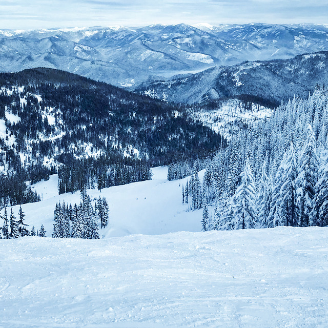
Pros: On-site accommodations, restaurant, cantina, water park. Very close to major airport, hotels, restaurants, entertainment (Coeur d’Alene & Spokane). 1600 acres, 2250 vertical; of uncrowned alpine terrain. 300 inches annual snow. Cheapest lift rates/ season passes known. Cons: 400 acres of best skiing (Chair 4) is often closed. Another 200 acres is really off-piste terrain. Grooming; very little (other than beginner areas); reports of such are unreliable at best. Lifts are aging (especially Chair 4). Even with abundant snowfall, base snow layer is often less than 5 feet. Someplace between: Several other ski resorts near (North Idaho area) plus resorts in Washington, Montana, British Columbia, Alberta - all within comfortable driving distance. Other: Beautiful & vibrant - four season area. Alpine mountains, lakes & rivers. Massive wilderness areas juxtaposed against CdA and Spokane, where you can find anything modern life requires.
Cole Thule from United States writes:
Pros: On-site accommodations, restaurant, cantina, water park. Very close to major airport, hotels, restaurants, entertainment (Coeur d’Alene & Spokane). 1600 acres, 2250 vertical; of uncrowned alpine terrain. 300 inches annual snow. Cheapest lift rates/ season passes known.
Cons: 400 acres of best skiing (Chair 4) is often closed. Another 200 acres is really off-piste terrain. Grooming; very little (other than beginner areas); reports of such are unreliable at best. Lifts are aging (especially Chair 4). Even with abundant snowfall, base snow layer is often less than 5 feet.
Someplace between: Several other ski resorts near (North Idaho area) plus resorts in Washington, Montana, British Columbia, Alberta - all within comfortable driving distance.
Other: Beautiful & vibrant - four season area. Alpine mountains, lakes & rivers. Massive wilderness areas juxtaposed against CdA and Spokane, where you can find anything modern life requires.


 Nearest