The above table gives the weather forecast for Sedrun Oberalp at the specific elevation of 1925 m. Our sophisticated weather models allow us to provide snow forecasts for the top, middle and bottom ski stations of Sedrun Oberalp. To access the weather forecasts for the other elevations, use the tab navigation above the table. For a wider view of the weather, check out the Weather Map of Switzerland.
Click here to read further information on freezing levels and how we forecast our temperatures.
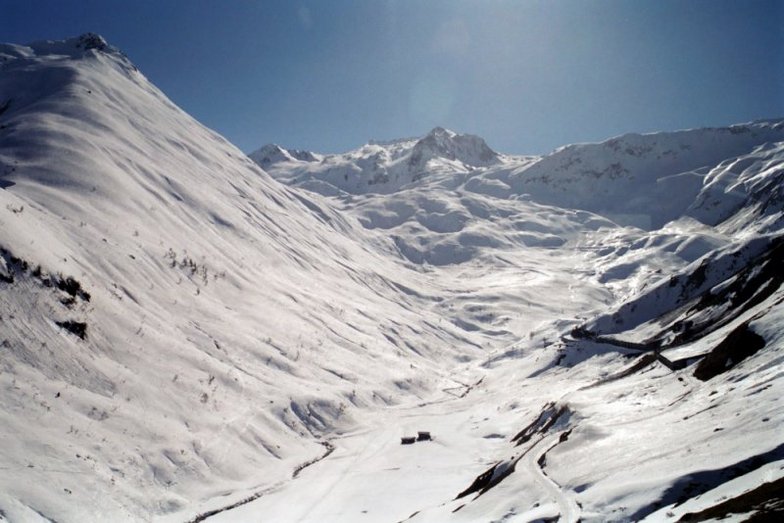
The Sedrun/Oberalp area is fantastic - we have been going there for the last 25 years and own an apartment, so that we can enjoy the skiing and summer walking/hiking. We like it so much that we spend approximately 4-5 months a year in Sedrun and have built up a rapport with many of the locals as they are so friendly, our favourite restaurant/hotel is La Cruna, the menu is always fantastic!!
Driving from the UK is easy as is flying although you would need to fly into Zurich airport as early as is possible in the morning so that you can ski in the afternoon.
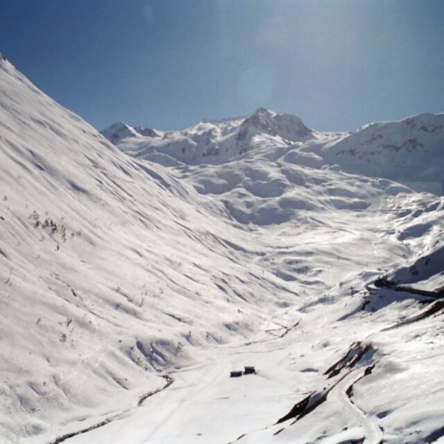
Free Snow-Forecast.com weather widget for your website
Embed the Sedrun Oberalp weather widget on your site for free. It provides a weekly snapshot of snow and rain conditions across all elevations. Follow the two quick steps to grab your custom code and paste it into your site. Choose between metric or imperial units. Click here to get the code.


 Nearest