

Portillo Re-Opens To Guests Arriving By Helicopter
Chile’s famous Portillo ski resort is reported to have re-opened to guests arriving by helicopter after being cut off by road for more than two weeks by over 6m/20 feet of snowfall.

Next 3 days weather summary:Heavy rain (total 23.0mm), heaviest during Tue afternoon. Very mild (max 19°C on Mon afternoon, min 13°C on Mon night). Wind will be generally light. | Days 4-6 weather summary:Moderate rain (total 13.0mm), heaviest on Thu afternoon. Very mild (max 18°C on Thu afternoon, min 12°C on Thu night). Wind will be generally light. | ||||||||||||||||
Mon 3 | Tuesday 4 | Wednesday 5 | Thursday 6 | Friday 7 | Saturday 8 | ||||||||||||
PM | night | AM | PM | night | AM | PM | night | AM | PM | night | AM | PM | night | AM | PM | night | |
t-storm risk | rain shwrs | t-storm risk | t-storm risk | rain shwrs | clear | t-storm risk | rain shwrs | clear | mod. rain | rain shwrs | clear | t-storm risk | rain shwrs | clear | clear | clear | |
km/h | |||||||||||||||||
Snow map |  |  |  |  |  |  | |||||||||||
— | — | — | — | — | — | — | — | — | — | — | — | — | — | — | — | — | |
mm | 2 | 3 | 1 | 4 | 5 | — | 4 | 4 | — | 6 | 5 | — | 1 | 1 | — | — | — |
max °C | 19 | 17 | 17 | 18 | 16 | 16 | 18 | 16 | 17 | 18 | 13 | 15 | 17 | 15 | 16 | 18 | 16 |
min °C | 18 | 13 | 14 | 18 | 14 | 14 | 17 | 14 | 15 | 13 | 12 | 12 | 16 | 13 | 13 | 18 | 14 |
chill °C | 18 | 12 | 14 | 18 | 14 | 14 | 17 | 14 | 15 | 13 | 12 | 12 | 16 | 13 | 13 | 18 | 14 |
Humid % | 61 | 74 | 54 | 58 | 71 | 64 | 70 | 67 | 51 | 89 | 83 | 59 | 66 | 79 | 64 | 48 | 61 |
Freeze m | 4550 | 4450 | 4450 | 4500 | 4450 | 4350 | 4450 | 4450 | 4400 | 4250 | 4250 | 4200 | 4350 | 4350 | 4350 | 4500 | 4500 |
— | — | 6:18 | — | — | 6:18 | — | — | 6:20 | — | — | 6:22 | — | — | 6:22 | — | — | |
— | 8:59 | — | — | 8:57 | — | — | 8:55 | — | — | 8:53 | — | — | 8:52 | — | — | 8:52 | |
Go pro and carve into:
Avalanche information: European Avalanche Warning Services (EAWS)
Latest snow reports near Sainte Foy:
| Top snow depth: | 0 cm |
|---|---|
| Bottom snow depth: | 0 cm |
| Fresh snowfall depth: | — |
| Last snowfall: | 18 May 2026 |
| Snow Alerts | Create Alert |
0.0 | Bluebird Powder days Fresh snow, mostly sunny, light wind. |
|---|---|
0.0 | Powder days Fresh snow, limited sun, any wind. |
0.0 | Bluebird days Average snow, mostly sunny, light wind. |

The above table gives the weather forecast for Sainte Foy at the specific elevation of 2082 m. Our sophisticated weather models allow us to provide snow forecasts for the top, middle and bottom ski stations of Sainte Foy. To access the weather forecasts for the other elevations, use the tab navigation above the table. For a wider view of the weather, check out the Weather Map of France.
Click here to read further information on freezing levels and how we forecast our temperatures.
Overall 3.9 Based on 58 votes and 57 reviews
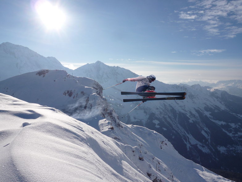
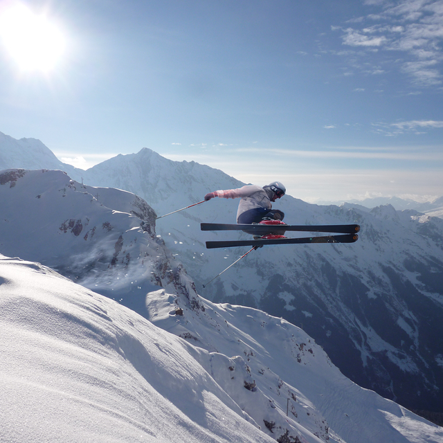
2nd -10th Feb 2019: just got back from our ninth season skiing in Sainte Foy. As usual, it was fabulous; a resort that is all about the quality of the skiing rather than the quantity. If all you are interested in is looking at your app at the end of the day and seeing how fast you went and how far, then please don't waste anyones time, and stay on the valley road to Tignes and Val. Plenty for beginners and families to ski, and for those more adventurous of us put on your ABS bag and explore the limitless terrain. True, there are not many bars and certainly no clubs. But the restaurants are excellent and at the end of the day a beer with the instructors, lift attendants and pisteurs is something to treasure.
richard mosdell from United Kingdom writes:
2nd -10th Feb 2019: just got back from our ninth season skiing in Sainte Foy. As usual, it was fabulous; a resort that is all about the quality of the skiing rather than the quantity. If all you are interested in is looking at your app at the end of the day and seeing how fast you went and how far, then please don't waste anyones time, and stay on the valley road to Tignes and Val. Plenty for beginners and families to ski, and for those more adventurous of us put on your ABS bag and explore the limitless terrain. True, there are not many bars and certainly no clubs. But the restaurants are excellent and at the end of the day a beer with the instructors, lift attendants and pisteurs is something to treasure.


 Nearest