The above table gives the weather forecast for Saint François Longchamp at the specific elevation of 2100 m. Our sophisticated weather models allow us to provide snow forecasts for the top, middle and bottom ski stations of Saint François Longchamp. To access the weather forecasts for the other elevations, use the tab navigation above the table. For a wider view of the weather, check out the Weather Map of France.
Click here to read further information on freezing levels and how we forecast our temperatures.
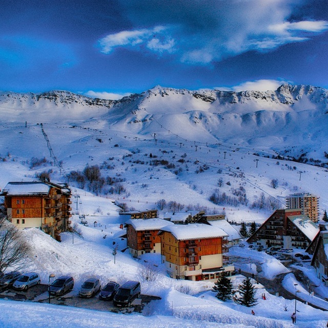
Resort name is also written as Saint Francois Longchamp.
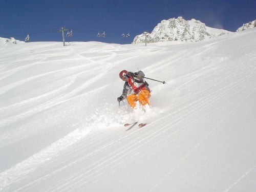
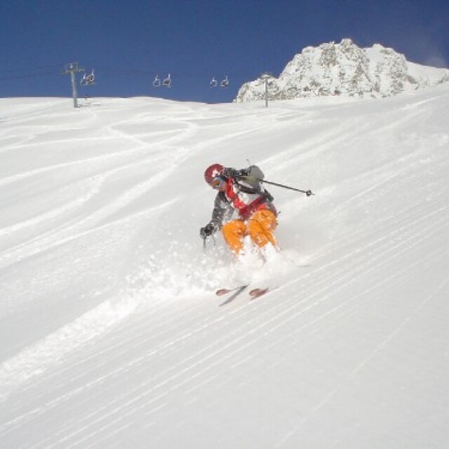
Very lovely little ski resort. Accommodation right on the slopes so ski in/ski out possible. Good upgrades to lift system help to speed skiers to the best snow, usually in better condition than Valmorel which is busier and more expensive than here. Still has button drag lifts; very useful when it is very windy. Great pisted runs for all levels of skier, unusually powder does not get skied out on the very first day after snow. The snow conditions this January were superb, mogul fields absent largely (a pity!). Will visit again soon. The people were extremely welcoming.
Very lovely little ski resort. Accommodation right on the slopes so ski in/ski out possible. Good upgrades to lift system help to speed skiers to the best snow, usually in better condition than Valmorel which is busier and more expensive than here. Still has button drag lifts; very useful when it is very windy. Great pisted runs for all levels of skier, unusually powder does not get skied out on the very first day after snow. The snow conditions this January were superb, mogul fields absent largely (a pity!). Will visit again soon. The people were extremely welcoming.
Free Snow-Forecast.com weather widget for your website
Embed the Saint François Longchamp weather widget on your site for free. It provides a weekly snapshot of snow and rain conditions across all elevations. Follow the two quick steps to grab your custom code and paste it into your site. Choose between metric or imperial units. Click here to get the code.


 Nearest