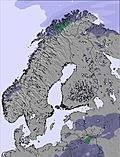
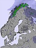
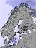
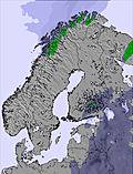
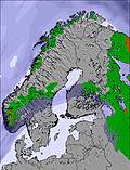
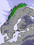
The above table gives the weather forecast for Riksgränsen at the specific elevation of 705 m. Our sophisticated weather models allow us to provide snow forecasts for the top, middle and bottom ski stations of Riksgränsen. To access the weather forecasts for the other elevations, use the tab navigation above the table. For a wider view of the weather, check out the Weather Map of Sweden.
Click here to read further information on freezing levels and how we forecast our temperatures.
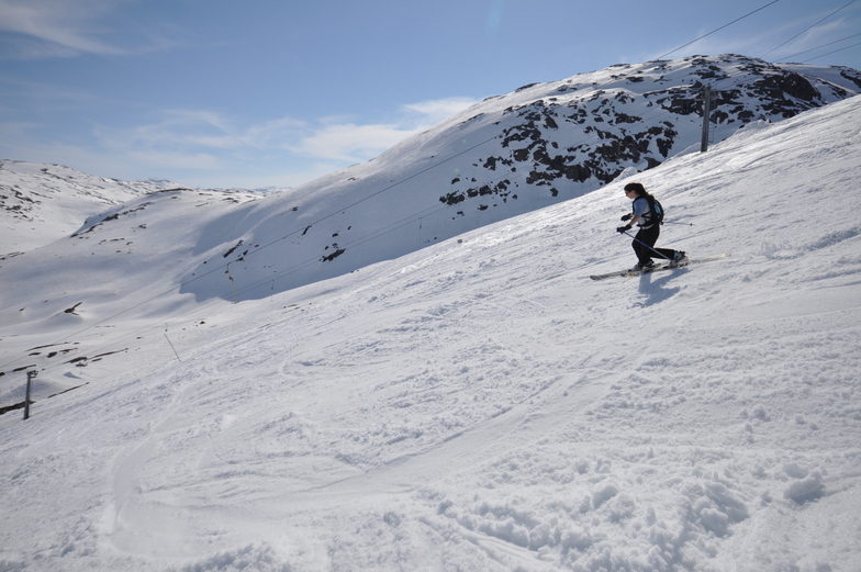
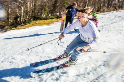
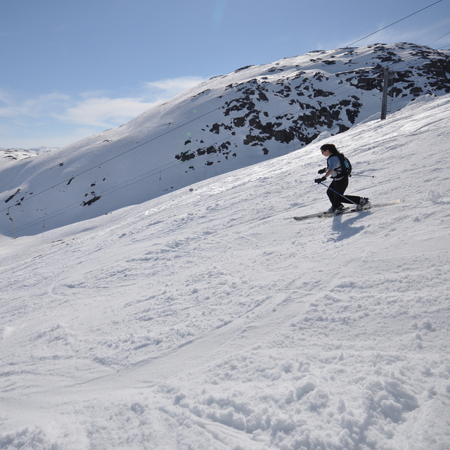
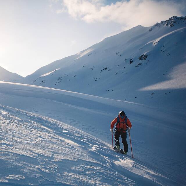
Just returned from a trip around northern Scandinavia that included 3 days skiing/boarding at Riksgransen. Conditions in mid-late April were fantastic, no queues, facilities (loos, cafes) are limited but adequate. None of the groomed runs are really steep but they are interesting (they are not straight runs, and have many camber changes) so do offer some challenges for intermediate skiers. The resort comes into its own for off-piste skiing, which is extensive and it's the off-piste that seems to draw most people there. There is heli-skiing and helicopter sight seeing tours. Riksgransen is not a town/village - there is really not a lot there apart from the skiing and one hotel/restaurant and a few cafes. For those looking for a typical family skiing holiday resort, Riksgransen is probably not it, but for keen skiers/boarders looking for some seriously good snow, a late season, and in a fantastic setting then it is worth a visit.
Just returned from a trip around northern Scandinavia that included 3 days skiing/boarding at Riksgransen. Conditions in mid-late April were fantastic, no queues, facilities (loos, cafes) are limited but adequate. None of the groomed runs are really steep but they are interesting (they are not straight runs, and have many camber changes) so do offer some challenges for intermediate skiers. The resort comes into its own for off-piste skiing, which is extensive and it's the off-piste that seems to draw most people there. There is heli-skiing and helicopter sight seeing tours. Riksgransen is not a town/village - there is really not a lot there apart from the skiing and one hotel/restaurant and a few cafes. For those looking for a typical family skiing holiday resort, Riksgransen is probably not it, but for keen skiers/boarders looking for some seriously good snow, a late season, and in a fantastic setting then it is worth a visit.
Free Snow-Forecast.com weather widget for your website
Embed the Riksgränsen weather widget on your site for free. It provides a weekly snapshot of snow and rain conditions across all elevations. Follow the two quick steps to grab your custom code and paste it into your site. Choose between metric or imperial units. Click here to get the code.


 Nearest