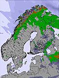
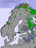
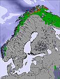
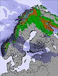
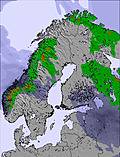
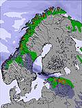
The above table gives the weather forecast for Riksgränsen at the specific elevation of 500 m. Our sophisticated weather models allow us to provide snow forecasts for the top, middle and bottom ski stations of Riksgränsen. To access the weather forecasts for the other elevations, use the tab navigation above the table. For a wider view of the weather, check out the Weather Map of Sweden.
Click here to read further information on freezing levels and how we forecast our temperatures.
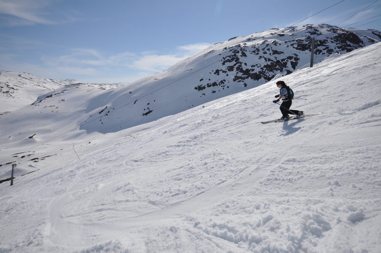
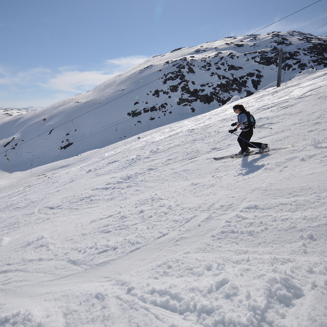
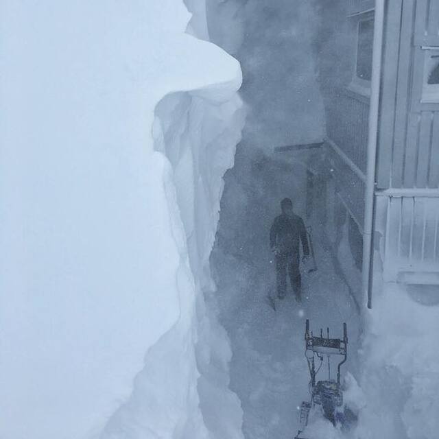
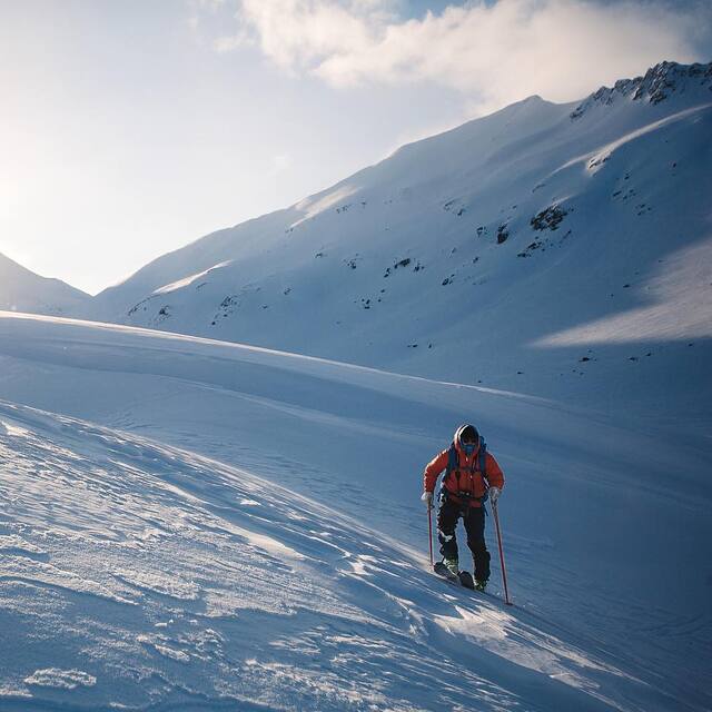
Riksgränsen is by far the best resort in Sweden for free riding, both on skis and snowboard. I would say that the resort profile on this page is severely wrong when stating that the mountain wouldn't appeal to an expert skier. Sure there 'aint much steep groomers but the inbounds off-piste terrain on the front side of the mountain is sick, steep and littered with cliffs. The backside is more mellow with longer and more open runs. There is also seriuos hike-to terrain on Nordalsfjäll, the venue of the Scandinavian Free skiing Championships, with steep (up to 55 degrees,long runs and cliffs up to 60 feet. Riksgränsen is also one of the resorts, in Sweden, that receives the most snow.
[Editors note: Thank you for your comments. I have now altered the text in the notes to provide a more honest profile.]
Free Snow-Forecast.com weather widget for your website
Embed the Riksgränsen weather widget on your site for free. It provides a weekly snapshot of snow and rain conditions across all elevations. Follow the two quick steps to grab your custom code and paste it into your site. Choose between metric or imperial units. Click here to get the code.


 Nearest