

Global Weekly Snow Roundup #318
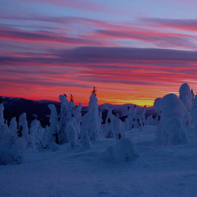
Weekly Snow News for the world, updated 11 June 2026: Australia's season begins, Val d’Isère reopens and major snowfall is forecast for the Andes.

Next 3 days weather summary:Moderate rain (total 13.0mm), heaviest on Thu morning. Very mild (max 15°C on Sat afternoon, min 6°C on Thu morning). Wind will be generally light. | Days 4-6 weather summary:Light rain (total 2.0mm), mostly falling on Mon afternoon. Very mild (max 18°C on Sun afternoon, min 6°C on Mon night). Winds decreasing (strong winds from the WSW on Mon night, calm by Tue night). | |||||||||||||||||
Thursday 11 | Friday 12 | Saturday 13 | Sunday 14 | Monday 15 | Tuesday 16 | |||||||||||||
AM | PM | night | AM | PM | night | AM | PM | night | AM | PM | night | AM | PM | night | AM | PM | night | |
light rain | light rain | light rain | rain shwrs | light rain | clear | clear | some clouds | some clouds | clear | some clouds | cloudy | some clouds | light rain | clear | some clouds | cloudy | rain shwrs | |
km/h | ||||||||||||||||||
Snow map | 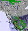 | 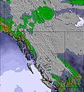 | 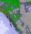 | 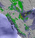 | 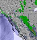 | 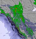 | ||||||||||||
— | — | — | — | — | — | — | — | — | — | — | — | — | — | — | — | — | — | |
3 | 4 | 3 | 2 | 1 | — | — | — | — | — | — | — | — | 1 | — | — | — | 1 | |
max °C | 6 | 8 | 8 | 8 | 10 | 10 | 11 | 15 | 14 | 13 | 18 | 17 | 14 | 15 | 13 | 10 | 12 | 11 |
min °C | 6 | 6 | 7 | 7 | 10 | 9 | 8 | 14 | 12 | 11 | 16 | 14 | 12 | 14 | 6 | 7 | 11 | 6 |
6 | 6 | 7 | 6 | 9 | 8 | 6 | 12 | 11 | 11 | 15 | 12 | 10 | 11 | 3 | 4 | 8 | 6 | |
93 | 74 | 73 | 66 | 56 | 59 | 50 | 34 | 45 | 49 | 39 | 54 | 51 | 59 | 72 | 50 | 44 | 83 | |
2450 | 2650 | 2500 | 2600 | 2700 | 2800 | 3000 | 3100 | 3400 | 3550 | 3650 | 3800 | 3200 | 3150 | 2800 | 2600 | 2800 | 2550 | |
4:28 | — | — | 4:28 | — | — | 4:28 | — | — | 4:28 | — | — | 4:28 | — | — | 4:28 | — | — | |
— | — | 9:51 | — | — | 9:52 | — | — | 9:52 | — | — | 9:52 | — | — | 9:52 | — | — | 9:53 | |
Go pro and carve into:
Avalanche information: Avalanche Canada
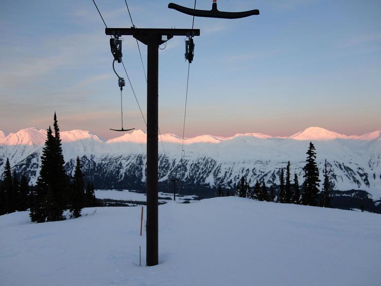
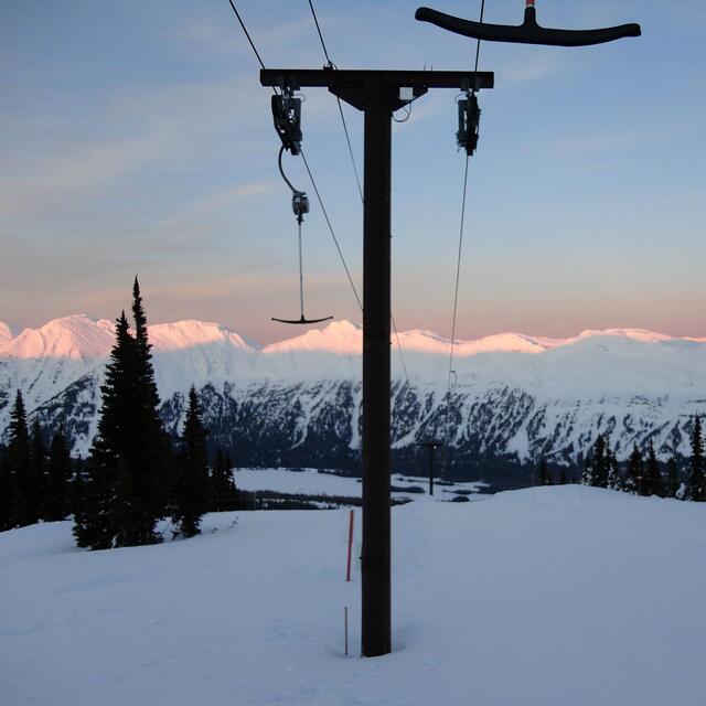
Latest snow reports near Powder King:
| Top snow depth: | — |
|---|---|
| Bottom snow depth: | — |
| Fresh snowfall depth: | — |
| Last snowfall: | 22 Apr 2026 |
| Snow Alerts | Create Alert |
0.0 | Bluebird Powder days Fresh snow, mostly sunny, light wind. |
|---|---|
0.0 | Powder days Fresh snow, limited sun, any wind. |
0.0 | Bluebird days Average snow, mostly sunny, light wind. |
The above table gives the weather forecast for Powder King at the specific elevation of 1575 m. Our sophisticated weather models allow us to provide snow forecasts for the top, middle and bottom ski stations of Powder King. To access the weather forecasts for the other elevations, use the tab navigation above the table. For a wider view of the weather, check out the Weather Map of Canada.
Click here to read further information on freezing levels and how we forecast our temperatures.
Overall 2.8 Based on 34 votes and 13 reviews
The most good snow in BC at the moment with this last storm. Believe me, I check the sticks. Great grooming and always powder in the trees days after a snow fall. You come for the skiing, because that is what matters.
Ian from Canada writes:
The most good snow in BC at the moment with this last storm. Believe me, I check the sticks. Great grooming and always powder in the trees days after a snow fall. You come for the skiing, because that is what matters.


 Nearest