

Kim Jong Un’s Daughter Goes Skiing
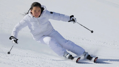
North Korean leader Kim Jong Un’s daughter, Kim Ju Ae, has been pictured skiing at a new mountain resort under development in the country’s far north.

Wednesday 18 | Thursday 19 | Friday 20 | Saturday 21 | Sunday 22 | ||||||||||||
night | AM | PM | night | AM | PM | night | AM | PM | night | AM | PM | night | AM | PM | night | |
 |  | |  |  | |  |  | | | |  |  |  | | | |
mod. snow | some clouds | some clouds | snow shwrs | light snow | light snow | light snow | mod. snow | mod. snow | light snow | light snow | snow shwrs | some clouds | cloudy | some clouds | some clouds | |
km/h | ||||||||||||||||
Snow map | 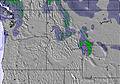 |  | 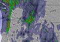 | 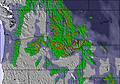 | 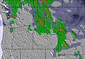 | 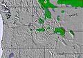 | ||||||||||
 cm | 9 | — | — | — | 1 | 2 | 2 | 8 | 9 | 5 | — | — | — | — | — | — |
mm | — | — | — | — | — | — | — | — | — | — | — | — | — | — | — | — |
max °C | -2 | -2 | 0 | -1 | 0 | 0 | 0 | -1 | -1 | -2 | -3 | -2 | -3 | 0 | 1 | -1 |
min °C | -6 | -6 | 0 | -2 | -1 | -1 | -2 | -2 | -2 | -5 | -5 | -4 | -5 | -3 | -2 | -2 |
chill °C | -11 | -10 | -3 | -6 | -6 | -6 | -7 | -7 | -7 | -9 | -5 | -6 | -8 | -6 | -5 | -6 |
Humid % | 88 | 60 | 58 | 57 | 89 | 97 | 95 | 99 | 98 | 95 | 91 | 87 | 62 | 57 | 60 | 59 |
Freeze m | 1200 | 1650 | 1850 | 1700 | 1900 | 1850 | 1800 | 1750 | 1700 | 1250 | 1600 | 1300 | 1200 | 1950 | 1500 | 1800 |
 | — | 7:18 | — | — | 7:20 | — | — | 7:20 | — | — | 7:22 | — | — | 7:22 | — | — |
 | — | — | 5:05 | — | — | 5:05 | — | — | 5:04 | — | — | 5:02 | — | — | 5:02 | — |
Next 4 days weather summary:A heavy fall of snow, heaviest during Fri morning. Temperatures will be below freezing (max 0°C on Wed afternoon, min -6°C on Tue night). Wind will be generally light. | Days 5-7 weather summary:A light covering of new snow, mostly falling on Fri night. Freeze-thaw conditions (max 1°C on Sun afternoon, min -5°C on Fri night). Wind will be generally light. | |||||||||||||||
 SnowPro
 Hourly & 16-day forecastsView past weatherFast, ad-free browsingSnow hindcasts & History
Avalanche information: National Avalanche Center

Latest snow reports near Nordic Valley:

Light rain reported from Ogden at 4570 feet 5 miles W of Snowbasin but it is forecast cold enough for snow at the ski area from Snowbasin
Light rain reported from North Oaks wx at 4888 feet only 4 miles W of Nordic Valley but it is forecast cold enough for snow at the ski area from Nordic Valley
| Top snow depth: | — |
|---|---|
| Bottom snow depth: | — |
| Fresh snowfall depth: | — |
| Last snowfall: | 18 May 2026 |
| Snow Alerts | Create Alert |
0.3 | Bluebird Powder days Fresh snow, mostly sunny, light wind. |
|---|---|
0.7 | Powder days Fresh snow, limited sun, any wind. |
0.7 | Bluebird days Average snow, mostly sunny, light wind. |
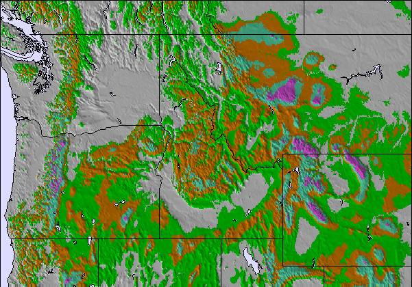
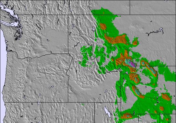
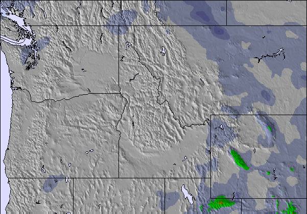
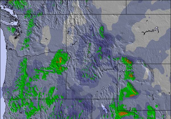
The above table gives the weather forecast for Nordic Valley at the specific elevation of 1981 m. Our sophisticated weather models allow us to provide snow forecasts for the top, middle and bottom ski stations of Nordic Valley. To access the weather forecasts for the other elevations, use the tab navigation above the table. For a wider view of the weather, check out the Weather Map of United States.
Click here to read further information on freezing levels and how we forecast our temperatures.
Overall 3.1 Based on 1 vote and 2 reviews
Our family has skied at Nordic Valley for the past 4 years and we love it! It is a great place for kids to learn and for families to enjoy a fun activity together. I can't say enough that's good about the ski school. They have been so amazing and have helped us to teach all our kids to ski and snowboard. No small task when you are teaching 7 kids! Thank you so much for the fun you have given us and for the bonding you've helped us achieve in our mixed family. Buying season passes has been the best thing we've done for our family since we were married 4 and a half years ago. I recommend Nordic Valley to everyone I meet!
Kristen Reier from United States writes:
Our family has skied at Nordic Valley for the past 4 years and we love it! It is a great place for kids to learn and for families to enjoy a fun activity together. I can't say enough that's good about the ski school. They have been so amazing and have helped us to teach all our kids to ski and snowboard. No small task when you are teaching 7 kids! Thank you so much for the fun you have given us and for the bonding you've helped us achieve in our mixed family. Buying season passes has been the best thing we've done for our family since we were married 4 and a half years ago. I recommend Nordic Valley to everyone I meet!

 Sign up or Login to access
 Nearest