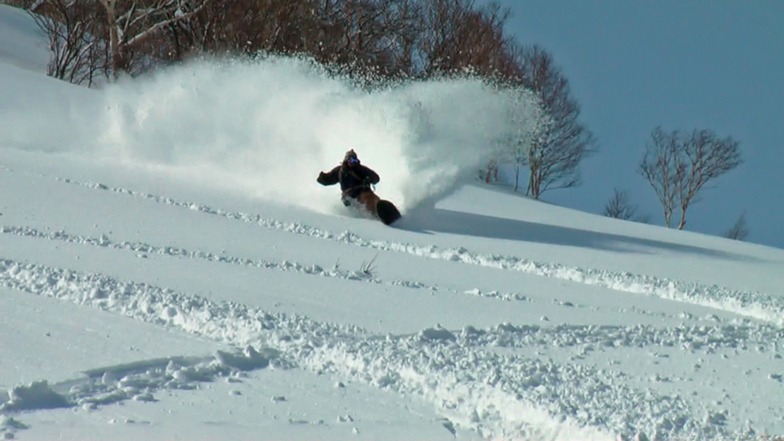


Global Weekly Snow Roundup #318
Weekly Snow News for the world, updated 11 June 2026: Australia's season begins, Val d’Isère reopens and major snowfall is forecast for the Andes.

Next 3 days weather summary:Moderate rain (total 15.0mm), heaviest on Fri afternoon. Very mild (max 14°C on Sun morning, min 10°C on Fri morning). Wind will be generally light. | Days 4-6 weather summary:Light rain (total 7.0mm), mostly falling on Mon afternoon. Very mild (max 14°C on Mon morning, min 12°C on Mon night). Wind will be generally light. | |||||||||||||||||
Friday 12 | Saturday 13 | Sunday 14 | Monday 15 | Tuesday 16 | Wednesday 17 | |||||||||||||
AM | PM | night | AM | PM | night | AM | PM | night | AM | PM | night | AM | PM | night | AM | PM | night | |
rain shwrs | t-storm risk | rain shwrs | t-storm risk | t-storm risk | rain shwrs | some clouds | rain shwrs | some clouds | light rain | light rain | rain shwrs | rain shwrs | some clouds | cloudy | cloudy | some clouds | some clouds | |
km/h | ||||||||||||||||||
Snow map | 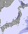 | 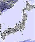 | 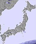 | 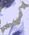 | 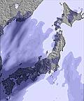 | 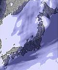 | ||||||||||||
— | — | — | — | — | — | — | — | — | — | — | — | — | — | — | — | — | — | |
1 | 3 | 3 | 2 | 3 | 1 | — | 2 | — | 1 | 4 | 1 | 1 | — | — | — | — | — | |
max °C | 11 | 11 | 10 | 12 | 12 | 12 | 14 | 14 | 12 | 14 | 13 | 13 | 14 | 14 | 13 | 13 | 13 | 13 |
min °C | 10 | 11 | 10 | 11 | 12 | 11 | 14 | 13 | 12 | 13 | 13 | 12 | 13 | 14 | 12 | 13 | 12 | 12 |
8 | 9 | 8 | 9 | 11 | 10 | 13 | 11 | 10 | 13 | 13 | 11 | 12 | 13 | 11 | 13 | 10 | 12 | |
82 | 82 | 84 | 75 | 79 | 65 | 55 | 83 | 74 | 73 | 82 | 79 | 77 | 65 | 64 | 61 | 78 | 72 | |
2750 | 2800 | 2850 | 2800 | 3000 | 3150 | 3200 | 3300 | 3350 | 3350 | 3350 | 3300 | 3250 | 3400 | 3300 | 3050 | 3300 | 3450 | |
3:58 | — | — | 3:58 | — | — | 3:58 | — | — | 3:57 | — | — | 3:57 | — | — | 3:58 | — | — | |
— | 7:15 | — | — | 7:15 | — | — | 7:15 | — | — | 7:16 | — | — | 7:16 | — | — | 7:17 | — | |
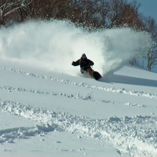
Go pro and carve into:
Avalanche information: Japan Avalanche Network
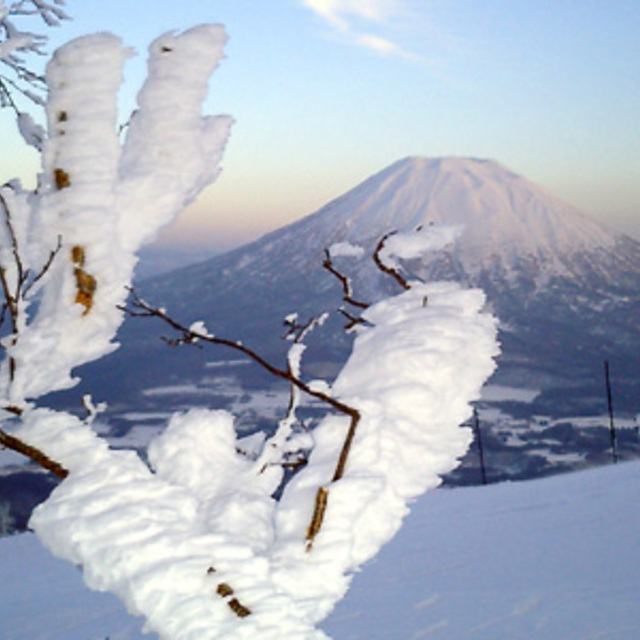
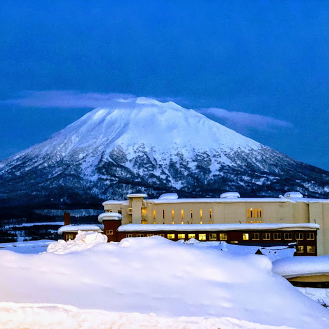
Latest snow reports near Niseko Grand Hirafu:
| Top snow depth: | 0 cm |
|---|---|
| Bottom snow depth: | 0 cm |
| Fresh snowfall depth: | — |
| Last snowfall: | 4 May 2026 |
| Snow Alerts | Create Alert |
0.0 | Bluebird Powder days Fresh snow, mostly sunny, light wind. |
|---|---|
0.0 | Powder days Fresh snow, limited sun, any wind. |
0.0 | Bluebird days Average snow, mostly sunny, light wind. |
The above table gives the weather forecast for Niseko Grand Hirafu at the specific elevation of 1156 m. Our sophisticated weather models allow us to provide snow forecasts for the top, middle and bottom ski stations of Niseko Grand Hirafu. To access the weather forecasts for the other elevations, use the tab navigation above the table. For a wider view of the weather, check out the Weather Map of Japan.
Click here to read further information on freezing levels and how we forecast our temperatures.
Resort name is also written as Niseko Hirafu.
Overall 3.9 Based on 81 votes and 120 reviews
Niseko Feb 19 2024. Poor snow conditions with rain. Long queues for every thing. This Powder Paradise is a myth.
Mark from Japan writes:
Niseko Feb 19 2024. Poor snow conditions with rain. Long queues for every thing. This Powder Paradise is a myth.
Read 119 more reviews of Niseko Grand Hirafu or submit your own


 Nearest