


America’s Next Indoor Snow Centre Takes Shape
Construction of a new indoor snow centre for skiers, boarders and tubers appears to be making good progress at Heritage Farm in Wayne County, West Virginia.

Next 3 days weather summary:Mostly dry. Warm (max 25°C on Wed afternoon, min 9°C on Fri night). Wind will be generally light. | Days 4-6 weather summary:Mostly dry. Warm (max 20°C on Sat afternoon, min 8°C on Sun night). Wind will be generally light. | ||||||||||||||||
Wed 22 | Thursday 23 | Friday 24 | Saturday 25 | Sunday 26 | Monday 27 | ||||||||||||
PM | night | AM | PM | night | AM | PM | night | AM | PM | night | AM | PM | night | AM | PM | night | |
clear | clear | clear | clear | clear | clear | clear | clear | clear | clear | clear | clear | clear | clear | clear | clear | clear | |
km/h | |||||||||||||||||
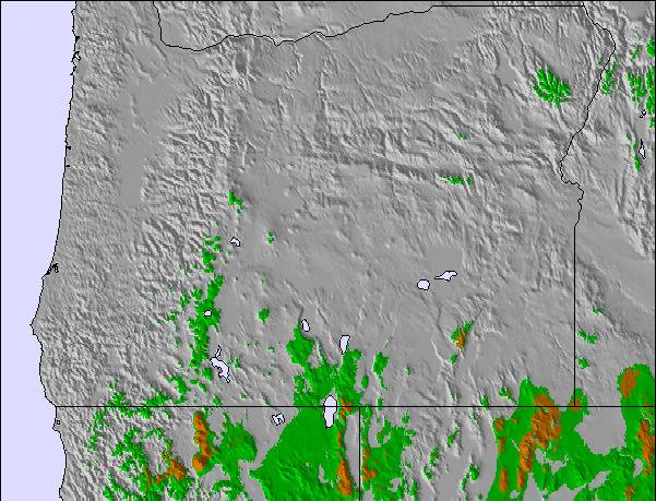
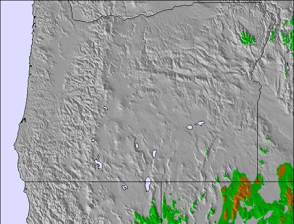
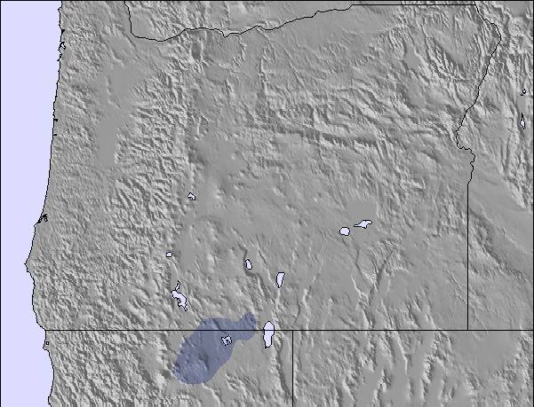
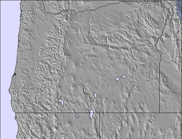
Snow map | 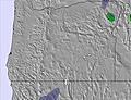 | 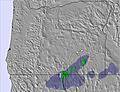 | 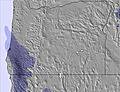 | 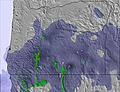 | 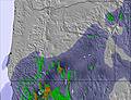 | 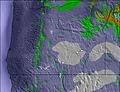 | |||||||||||
— | — | — | — | — | — | — | — | — | — | — | — | — | — | — | — | — | |
mm | — | — | — | — | — | — | — | — | — | — | — | — | — | — | — | — | — |
max °C | 25 | 17 | 18 | 22 | 18 | 19 | 23 | 17 | 17 | 20 | 16 | 17 | 20 | 15 | 16 | 20 | 16 |
min °C | 24 | 10 | 13 | 22 | 10 | 14 | 22 | 9 | 12 | 20 | 9 | 12 | 20 | 8 | 11 | 20 | 8 |
chill °C | 24 | 9 | 12 | 22 | 8 | 13 | 22 | 7 | 10 | 20 | 7 | 11 | 20 | 7 | 11 | 20 | 7 |
Humid % | 22 | 66 | 38 | 34 | 51 | 35 | 20 | 30 | 30 | 24 | 49 | 33 | 27 | 54 | 34 | 30 | 61 |
Freeze m | 4800 | 4600 | 4650 | 4700 | 4700 | 4700 | 4800 | 4700 | 4550 | 4500 | 4500 | 4400 | 4400 | 4400 | 4350 | 4450 | 4500 |
— | — | 5:54 | — | — | 5:54 | — | — | 5:56 | — | — | 5:56 | — | — | 5:58 | — | — | |
— | 8:39 | — | — | 8:38 | — | — | 8:37 | — | — | 8:37 | — | — | 8:36 | — | — | 8:35 | |
Go pro and carve into:
Avalanche information: National Avalanche Center
Latest snow reports near Mt Ashland:
| Top snow depth: | — |
|---|---|
| Bottom snow depth: | — |
| Fresh snowfall depth: | — |
| Last snowfall: | 26 May 2026 |
| Snow Alerts | Create Alert |
0.0 | Bluebird Powder days Fresh snow, mostly sunny, light wind. |
|---|---|
0.0 | Powder days Fresh snow, limited sun, any wind. |
0.0 | Bluebird days Average snow, mostly sunny, light wind. |
The above table gives the weather forecast for Mt Ashland at the specific elevation of 1935 m. Our sophisticated weather models allow us to provide snow forecasts for the top, middle and bottom ski stations of Mt Ashland. To access the weather forecasts for the other elevations, use the tab navigation above the table. For a wider view of the weather, check out the Weather Map of United States.
Click here to read further information on freezing levels and how we forecast our temperatures.
Overall 2.8 Based on 14 votes and 2 reviews
Mt. Ashland is a hidden jewel. It is very small and boasts an 1150 vertical drop. World class skiers are raised here. Locals are excreamly lucky!! WOW!
Andrew Pratt from United States writes:
Mt. Ashland is a hidden jewel. It is very small and boasts an 1150 vertical drop.
World class skiers are raised here. Locals are excreamly lucky!! WOW!

 Nearest