Heavy rain (total 53.0mm), heaviest during Thu afternoon. Freeze-thaw conditions (max 9°C on Wed night, min -1°C on Fri afternoon). Wind will be generally light.
Days 4-6 weather summary:
Heavy rain (total 27.0mm), heaviest during Mon afternoon. Very mild (max 10°C on Mon night, min 3°C on Sat night). Wind will be generally light.
Light rain reported from Sion at 339 metres elevation 5 kms WNW of Thyon-Printze but it is forecast cold enough for snow at higher elevations in the ski area from Thyon-Printze
36km away from Morzine
14 hours ago
Resort not yet open. Very mild weather, thaw threatening. from La Giettaz en Aravis
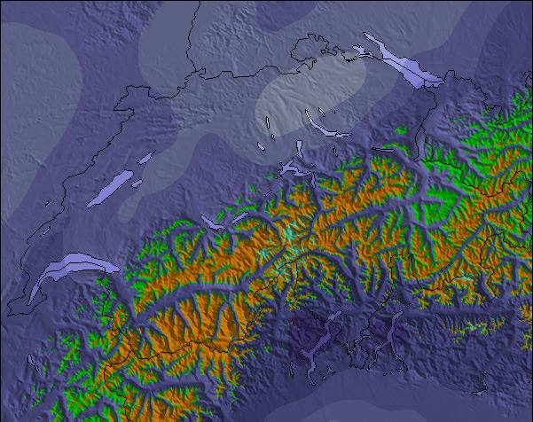
The above table gives the weather forecast for Morzine at the specific elevation of 1509 m. Our sophisticated weather models allow us to provide snow forecasts for the top, middle and bottom ski stations of Morzine. To access the weather forecasts for the other elevations, use the tab navigation above the table. For a wider view of the weather, check out the Weather Map of France.
Click here to read further information on freezing levels and how we forecast our temperatures.
Been coming to Morzine and PDS skiing for many years. Morzine is a
living mountain town in and out of season so no apologies for being more real than tourist-only ski resorts. A big enough town to wander about and find what suits you according to your age and stage of ski holidays. For us, now our children are adults, it’s about cruising over a few valleys for lunch. Mountain restaurants are everywhere, and what’s not to like about a fabulous view and a tartiflette lunch? If you think expensive then you haven’t been to the 3 valleys or Chamonix recently! The great advantages of being UK orientated with many UK people living there is the great choice of ski schools for adults and kids, and there’s always someone who can chat to you in the bar!
Been coming to Morzine and PDS skiing for many years. Morzine is a
living mountain town in and out of season so no apologies for being more real than tourist-only ski resorts. A big enough town to wander about and find what suits you according to your age and stage of ski holidays. For us, now our children are adults, it’s about cruising over a few valleys for lunch. Mountain restaurants are everywhere, and what’s not to like about a fabulous view and a tartiflette lunch? If you think expensive then you haven’t been to the 3 valleys or Chamonix recently! The great advantages of being UK orientated with many UK people living there is the great choice of ski schools for adults and kids, and there’s always someone who can chat to you in the bar!
Free Snow-Forecast.com weather widget for your website
Embed the Morzine weather widget on your site for free. It provides a weekly snapshot of snow and rain conditions across all elevations. Follow the two quick steps to grab your custom code and paste it into your site. Choose between metric or imperial units. Click here to get the code.
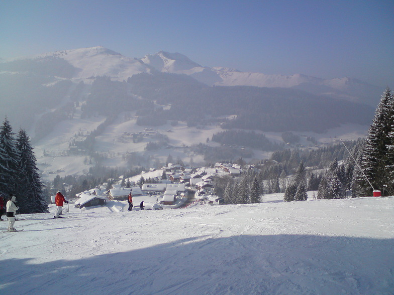

 ski hire exclusive discount




 Snow
 Hourly & 16-day forecasts



 Sign up or Login to access
 Upload new photo

 Nearest