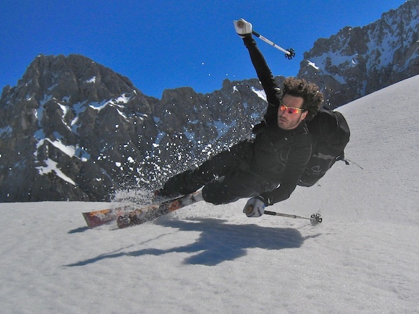


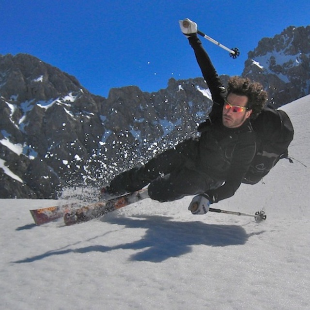
Portillo Storm Snowfall Total Passes 5m / 17 Feet
A snow storm that has now continued for nine days has taken Chilean ski resort Portillo to a snowfall total of 5.2 metres (17 feet) so far, with more snow forecast.

Next 3 days weather summary:Moderate rain (total 17.0mm), heaviest on Fri night. Warm (max 20°C on Fri afternoon, min 11°C on Fri night). Wind will be generally light. | Days 4-6 weather summary:Moderate rain (total 13.0mm), heaviest on Tue night. Very mild (max 18°C on Mon afternoon, min 12°C on Mon night). Wind will be generally light. | |||||||||||||||||
Thursday 30 | Friday 31 | Saturday 1 | Sunday 2 | Monday 3 | Tuesday 4 | |||||||||||||
AM | PM | night | AM | PM | night | AM | PM | night | AM | PM | night | AM | PM | night | AM | PM | night | |
clear | clear | some clouds | some clouds | some clouds | rain shwrs | clear | t-storm risk | rain shwrs | clear | rain shwrs | rain shwrs | clear | some clouds | rain shwrs | clear | t-storm risk | rain shwrs | |
km/h | ||||||||||||||||||
Snow map |  |  |  |  |  |  | ||||||||||||
— | — | — | — | — | — | — | — | — | — | — | — | — | — | — | — | — | — | |
mm | — | — | — | — | — | 11 | — | 1 | 5 | — | 1 | 1 | — | — | 2 | — | 4 | 5 |
max °C | 17 | 19 | 18 | 19 | 20 | 13 | 15 | 16 | 14 | 16 | 17 | 16 | 17 | 18 | 16 | 15 | 16 | 13 |
min °C | 15 | 19 | 16 | 17 | 18 | 11 | 13 | 15 | 13 | 14 | 16 | 15 | 16 | 17 | 12 | 13 | 13 | 12 |
chill °C | 15 | 19 | 16 | 17 | 18 | 9 | 13 | 15 | 13 | 14 | 16 | 14 | 16 | 17 | 12 | 13 | 12 | 11 |
Humid % | 37 | 32 | 42 | 37 | 53 | 65 | 57 | 71 | 69 | 56 | 60 | 57 | 45 | 47 | 52 | 57 | 79 | 67 |
Freeze m | 4350 | 4600 | 4600 | 4650 | 4550 | 4350 | 4250 | 4350 | 4300 | 4500 | 4600 | 4550 | 4550 | 4600 | 4500 | 4300 | 4250 | 4250 |
5:48 | — | — | 5:50 | — | — | 5:50 | — | — | 5:52 | — | — | 5:54 | — | — | 5:54 | — | — | |
— | — | 8:52 | — | — | 8:50 | — | — | 8:49 | — | — | 8:47 | — | — | 8:45 | — | — | 8:45 | |
Go pro and carve into:
Avalanche information: European Avalanche Warning Services (EAWS)
Latest snow reports near Mittenwald/Dammkar:
| Top snow depth: | — |
|---|---|
| Bottom snow depth: | — |
| Fresh snowfall depth: | — |
| Last snowfall: | 18 May 2026 |
| Snow Alerts | Create Alert |
0.0 | Bluebird Powder days Fresh snow, mostly sunny, light wind. |
|---|---|
0.0 | Powder days Fresh snow, limited sun, any wind. |
0.0 | Bluebird days Average snow, mostly sunny, light wind. |
The above table gives the weather forecast for Mittenwald/Dammkar at the specific elevation of 2244 m. Our sophisticated weather models allow us to provide snow forecasts for the top, middle and bottom ski stations of Mittenwald/Dammkar. To access the weather forecasts for the other elevations, use the tab navigation above the table. For a wider view of the weather, check out the Weather Map of Germany.
Click here to read further information on freezing levels and how we forecast our temperatures.
Overall 3.8 Based on 1 vote and 2 reviews
Picturesque resort with modest sized family skiing area, and a good off-piste area off the Karwendel(1300m vertical drop). Usually fairly empty during weekdays meaning smooth well groomed pistes. Popular also with walkers, X country etc.
I Fisher from United Kingdom writes:
Picturesque resort with modest sized family skiing area, and a good off-piste area off the Karwendel(1300m vertical drop). Usually fairly empty during weekdays meaning smooth well groomed pistes. Popular also with walkers, X country etc.
Read 1 more reviews of Mittenwald/Dammkar or submit your own


 Nearest