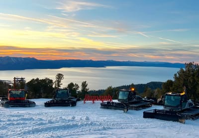
North America Weekly Snow Roundup #308
Weekly Snow News for North America, updated 2 April 2026: US resorts close early amid +20°C warmth, while Canada sees up to 64cm (26") snowfall and strong coverage.


Mijanes-Donezan Weather (Next 3 days): The snow forecast for Mijanes-Donezan is: Light rain (total 7.0mm), mostly falling on Sun afternoon. Very mild (max 13°C on Mon afternoon, min 7°C on Sat night). Wind will be generally light.
Mijanes-Donezan Weather (Days 4-6): Light rain (total 9.0mm), mostly falling on Thu afternoon. Very mild (max 13°C on Tue afternoon, min 5°C on Wed night). Wind will be generally light.
| Resort | Snow Depth | Temp. (°C) | Wind (km/h) | Weather | ||
|---|---|---|---|---|---|---|
| Top Lift: | 8 | |||||
| Middle Lift: | 9 | |||||
| Bottom Lift: | 12 |

Sat 4 | Sunday 5 | Monday 6 | Tuesday 7 | Wednesday 8 | Thursday 9 | ||||||||||||
PM | night | AM | PM | night | AM | PM | night | AM | PM | night | AM | PM | night | AM | PM | night | |
clear | clear | clear | risk thun- der | rain shwrs | cloudy | risk thun- der | rain shwrs | some clouds | some clouds | cloudy | some clouds | cloudy | rain shwrs | cloudy | risk thun- der | rain shwrs | |
km/h | |||||||||||||||||
Snow map |  |  |  |  |  |  | |||||||||||
— | — | — | — | — | — | — | — | — | — | — | — | — | — | — | — | — | |
— | — | — | 2 | 3 | — | 1 | 1 | — | — | — | — | — | 1 | — | 4 | 4 | |
max °C | 10 | 9 | 9 | 11 | 9 | 12 | 13 | 11 | 12 | 13 | 11 | 9 | 10 | 9 | 8 | 9 | 8 |
min °C | 9 | 7 | 7 | 11 | 8 | 9 | 13 | 9 | 9 | 13 | 8 | 8 | 10 | 5 | 5 | 8 | 7 |
9 | 7 | 7 | 11 | 8 | 9 | 13 | 7 | 7 | 12 | 5 | 5 | 8 | 3 | 5 | 8 | 7 | |
58 | 64 | 61 | 71 | 77 | 53 | 60 | 47 | 26 | 37 | 44 | 48 | 53 | 70 | 68 | 79 | 63 | |
3150 | 3250 | 3200 | 3200 | 3150 | 3250 | 3300 | 3400 | 3400 | 3300 | 3100 | 2800 | 2900 | 2700 | 2850 | 2950 | 3100 | |
— | — | 7:28 | — | — | 7:26 | — | — | 7:24 | — | — | 7:22 | — | — | 7:20 | — | — | |
— | 8:20 | — | — | 8:21 | — | — | 8:22 | — | — | 8:23 | — | — | 8:24 | — | — | 8:25 | |
Light rain (total 7.0mm), mostly falling on Sun afternoon. Very mild (max 13°C on Mon afternoon, min 7°C on Sat night). Wind will be generally light.
Light rain (total 9.0mm), mostly falling on Thu afternoon. Very mild (max 13°C on Tue afternoon, min 5°C on Wed night). Wind will be generally light.
Latest snow reports near Mijanes-Donezan:
There is heavy snow falling in Grandvalira-Soldeu. from Grandvalira-Soldeu
| Top snow depth: | — |
|---|---|
| Bottom snow depth: | — |
| Fresh snowfall depth: | 54 cm |
| Last snowfall: | 3 Apr 2026 |
| Snow Alerts | Create Alert |
0.2 | Bluebird Powder days Fresh snow, mostly sunny, light wind. |
|---|---|
0.8 | Powder days Fresh snow, limited sun, any wind. |
0.1 | Bluebird days Average snow, mostly sunny, light wind. |
The above table gives the weather forecast for Mijanes-Donezan at the specific elevation of 1766 m. Our sophisticated weather models allow us to provide snow forecasts for the top, middle and bottom ski stations of Mijanes-Donezan. To access the weather forecasts for the other elevations, use the tab navigation above the table. For a wider view of the weather, check out the Weather Map of France.
Click here to read further information on freezing levels and how we forecast our temperatures.
Overall 3.4 Based on 3 votes and 2 reviews
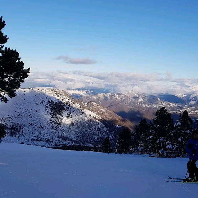
Mijanes-Donezan is a wonderful small family resort with everything you could need for the average skier with children. Also, great restaurant with well priced good quality food..all the staff were very friendly and the equipment hire is reasonable and well stocked.
Chris Groves from United Kingdom writes:
Mijanes-Donezan is a wonderful small family resort with everything you could need for the average skier with children.
Also, great restaurant with well priced good quality food..all the staff were very friendly and the equipment hire is reasonable and well stocked.


 Nearest