Issued by Snow-Forecast.com at:1 am (local time) / 01 Aug 2026
Last 6 daysScroll left for last 6 daysNow
Next 3 days weather summary:
Mostly dry. Warm (max 20°C on Sun afternoon, min 14°C on Sat morning). Wind will be generally light.
Days 4-6 weather summary:
Light rain (total 6.0mm), mostly falling on Wed afternoon. Very mild (max 18°C on Wed afternoon, min 14°C on Tue morning). Wind will be generally light.
The above table gives the weather forecast for Luz Ardiden at the specific elevation of 2100 m. Our sophisticated weather models allow us to provide snow forecasts for the top, middle and bottom ski stations of Luz Ardiden. To access the weather forecasts for the other elevations, use the tab navigation above the table. For a wider view of the weather, check out the Weather Map of France.
Click here to read further information on freezing levels and how we forecast our temperatures.
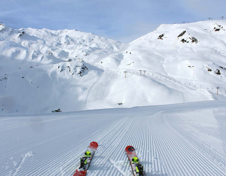
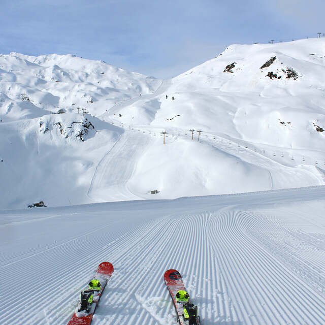
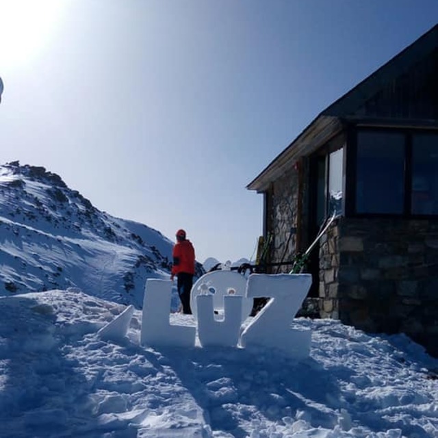
We ski Luz Ardiden regularly, a great small resort with nice snow park and good runs. It's a good family station with some challenging pistes as well. Snow is generally good and you are not in the Alps, which is great. It's less busy, cheaper accommodation and food. A popular station with the Spanish and for good reason, the town and surrounding area are beautiful. From Luz St Sauveur you can ski, Luz, Tourmalet La Mongie, Gavarnie and Cauterets. Also many natural hot springs with luxurious thermal baths in the area. You can buy combination Thermes/Ski tickets.
We ski Luz Ardiden regularly, a great small resort with nice snow park and good runs. It's a good family station with some challenging pistes as well. Snow is generally good and you are not in the Alps, which is great. It's less busy, cheaper accommodation and food. A popular station with the Spanish and for good reason, the town and surrounding area are beautiful. From Luz St Sauveur you can ski, Luz, Tourmalet La Mongie, Gavarnie and Cauterets. Also many natural hot springs with luxurious thermal baths in the area. You can buy combination Thermes/Ski tickets.
Free Snow-Forecast.com weather widget for your website
Embed the Luz Ardiden weather widget on your site for free. It provides a weekly snapshot of snow and rain conditions across all elevations. Follow the two quick steps to grab your custom code and paste it into your site. Choose between metric or imperial units. Click here to get the code.


 Nearest