

Global Weekly Snow Roundup #318
Weekly Snow News for the world, updated 11 June 2026: Australia's season begins, Val d’Isère reopens and major snowfall is forecast for the Andes.

Next 3 days weather summary:Mostly dry. Very mild (max 11°C on Sat afternoon, min 4°C on Fri morning). Wind will be generally light. | Days 4-6 weather summary:Some drizzle, heaviest during Tue night. Very mild (max 11°C on Wed afternoon, min 6°C on Tue night). Wind will be generally light. | |||||||||||||||||
Friday 12 | Saturday 13 | Sunday 14 | Monday 15 | Tuesday 16 | Wednesday 17 | |||||||||||||
AM | PM | night | AM | PM | night | AM | PM | night | AM | PM | night | AM | PM | night | AM | PM | night | |
clear | some clouds | clear | clear | clear | some clouds | some clouds | clear | clear | clear | clear | clear | cloudy | cloudy | rain shwrs | clear | some clouds | clear | |
km/h | ||||||||||||||||||
Snow map |  |  |  |  |  |  | ||||||||||||
— | — | — | — | — | — | — | — | — | — | — | — | — | — | — | — | — | — | |
— | — | — | — | — | — | — | — | — | — | — | — | — | — | 1 | — | — | — | |
max °C | 6 | 8 | 8 | 10 | 11 | 11 | 9 | 10 | 8 | 8 | 9 | 8 | 8 | 9 | 8 | 9 | 11 | 10 |
min °C | 4 | 8 | 8 | 9 | 11 | 9 | 9 | 10 | 7 | 7 | 9 | 7 | 8 | 9 | 6 | 7 | 10 | 9 |
1 | 6 | 6 | 7 | 10 | 9 | 8 | 9 | 6 | 6 | 8 | 6 | 7 | 8 | 6 | 7 | 10 | 9 | |
72 | 73 | 44 | 27 | 48 | 29 | 23 | 51 | 43 | 45 | 61 | 44 | 38 | 56 | 65 | 51 | 66 | 63 | |
3400 | 3550 | 4000 | 4050 | 3950 | 4000 | 3800 | 3750 | 3700 | 3550 | 3600 | 3650 | 3650 | 3600 | 3600 | 3750 | 3950 | 4100 | |
5:41 | — | — | 5:41 | — | — | 5:41 | — | — | 5:41 | — | — | 5:41 | — | — | 5:41 | — | — | |
— | — | 9:22 | — | — | 9:22 | — | — | 9:23 | — | — | 9:23 | — | — | 9:24 | — | — | 9:24 | |
Go pro and carve into:
Avalanche information: European Avalanche Warning Services (EAWS)
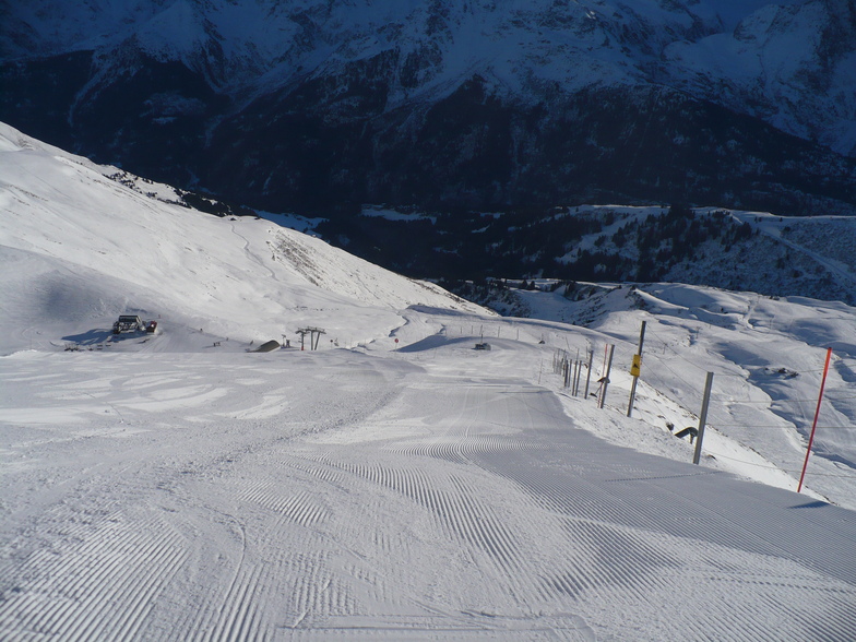
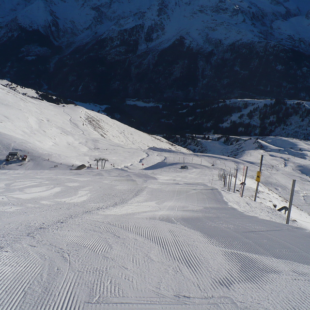
Latest snow reports near Les Contamines:
| Top snow depth: | 0 cm |
|---|---|
| Bottom snow depth: | 0 cm |
| Fresh snowfall depth: | — |
| Last snowfall: | 16 May 2026 |
| Snow Alerts | Create Alert |
0.0 | Bluebird Powder days Fresh snow, mostly sunny, light wind. |
|---|---|
0.1 | Powder days Fresh snow, limited sun, any wind. |
0.0 | Bluebird days Average snow, mostly sunny, light wind. |
The above table gives the weather forecast for Les Contamines at the specific elevation of 2487 m. Our sophisticated weather models allow us to provide snow forecasts for the top, middle and bottom ski stations of Les Contamines. To access the weather forecasts for the other elevations, use the tab navigation above the table. For a wider view of the weather, check out the Weather Map of France.
Click here to read further information on freezing levels and how we forecast our temperatures.
Overall 4.2 Based on 34 votes and 21 reviews
I've been coming here for years and years (the last 5 years for Christmas week with my wife and 3 teenage kids). We all love it. It's been said on most of the other reviews but I'll say it again; it's in a beautiful setting, the locals are friendly, the shops and bars are great, the skiing is absolutely fine if you're anything but an expert skier looking for hard blacks. The resort is pretty snow-sure, but Christmas week we were very unlucky last year and hardly had anything (although it dumped big time on the day we checked out!). This year isn't looking too good at the moment either, but that's the same everywhere across the Alps at the moment. But even if the snow is no good, Les C is close enough to be able to visit Chamonix easily and other slightly higher resort if necessary. Les Contamines also now has a new swimming pool which is very pleasant. As a family ski hol, you can't really go too wrong.
Martin from United Kingdom writes:
I've been coming here for years and years (the last 5 years for Christmas week with my wife and 3 teenage kids). We all love it. It's been said on most of the other reviews but I'll say it again; it's in a beautiful setting, the locals are friendly, the shops and bars are great, the skiing is absolutely fine if you're anything but an expert skier looking for hard blacks.
The resort is pretty snow-sure, but Christmas week we were very unlucky last year and hardly had anything (although it dumped big time on the day we checked out!). This year isn't looking too good at the moment either, but that's the same everywhere across the Alps at the moment. But even if the snow is no good, Les C is close enough to be able to visit Chamonix easily and other slightly higher resort if necessary. Les Contamines also now has a new swimming pool which is very pleasant.
As a family ski hol, you can't really go too wrong.


 Nearest