The above table gives the weather forecast for Les Contamines at the specific elevation of 1832 m. Our sophisticated weather models allow us to provide snow forecasts for the top, middle and bottom ski stations of Les Contamines. To access the weather forecasts for the other elevations, use the tab navigation above the table. For a wider view of the weather, check out the Weather Map of France.
Click here to read further information on freezing levels and how we forecast our temperatures.
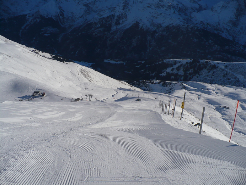
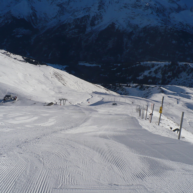
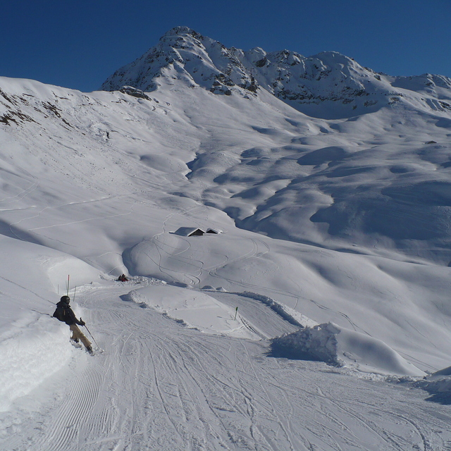
Having owned a place in Les Contamines for several years, we were fortunate enough to have ridden this place quite a lot. It may not be the most extensive area to visit but what it has packs a pleasant punch. The terrain is great, the slopes are always very well maintained and if you're lucky enough to have had a snowfall before, or during your stay, the off-piste opportunities are plenty (between pistes and further afield) and remain reasonable untracked for several days...
I would say, for me as an intermediate/advanced rider, Les Contamines is a 2/3 day max ski, but 5 mins down the road you can enter the rest of the EMB via St Nicolas de Veroce (Chatrix lift) or a bit further and hit St Gervais/Megeve for those tree lined motorway runs. There is a tiny ludopark, with a couple of green level jumps, but nothing of note here, so if a park is what you're after, this area is not for you...
The village is great, however, split into two sections. By the lifts is 'Hameaux du Lay', largely blocks of apartments with a couple of shops, bar and restaurant. Stay here if being on top of the lifts and a run home is important to you. The actual village is a 1 minute drive (10 minute walk) down the road. Here you'll find all the 'stuff' you would want form a ski resort: charm, restaurants, bars, shops, supermarkets etc. The main village is beautifully looking, dominated by chalets with the odd hotel.
Overall, I cannot rate Les Contamines highly enough. I love the place for all of the above (park aside) and that it's always so quiet on the slopes. Great place to visit!
Free Snow-Forecast.com weather widget for your website
Embed the Les Contamines weather widget on your site for free. It provides a weekly snapshot of snow and rain conditions across all elevations. Follow the two quick steps to grab your custom code and paste it into your site. Choose between metric or imperial units. Click here to get the code.


 Nearest