Issued by Snow-Forecast.com at:1 pm (local time) / 30 Jun 2026
Last 6 daysScroll left for last 6 daysNow
Next 3 days weather summary:
Heavy rain (total 38.0mm), heaviest during Wed afternoon. Very mild (max 19°C on Tue afternoon, min 10°C on Thu morning). Wind will be generally light.
Days 4-6 weather summary:
Mostly dry. Very mild (max 13°C on Fri afternoon, min 9°C on Sat morning). Winds decreasing (fresh winds from the N on Fri night, light winds from the NE by Mon morning).
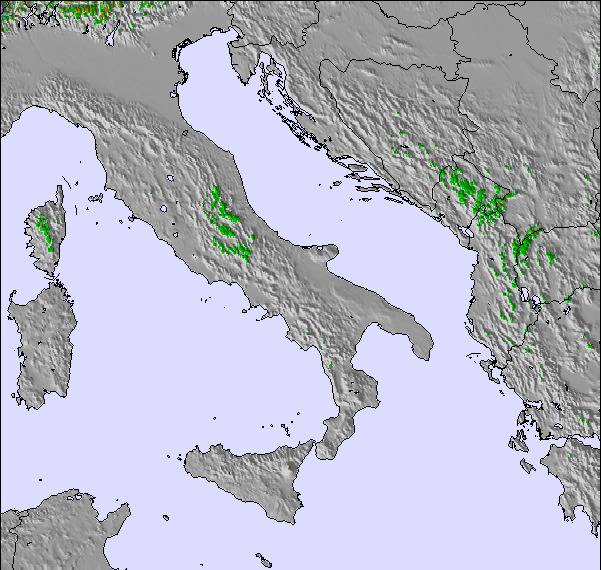
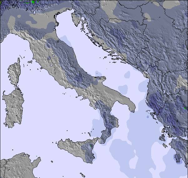
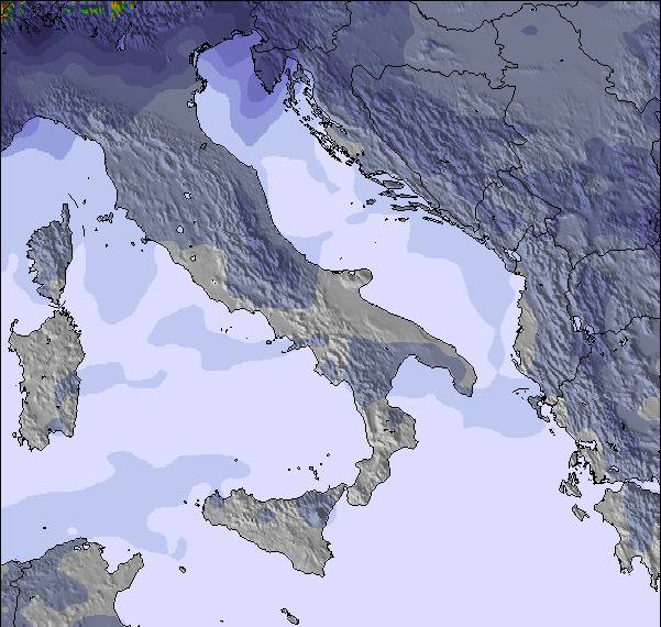
The above table gives the weather forecast for Kopaonik at the specific elevation of 2016 m. Our sophisticated weather models allow us to provide snow forecasts for the top, middle and bottom ski stations of Kopaonik. To access the weather forecasts for the other elevations, use the tab navigation above the table. For a wider view of the weather, check out the Weather Map of Serbia.
Click here to read further information on freezing levels and how we forecast our temperatures.
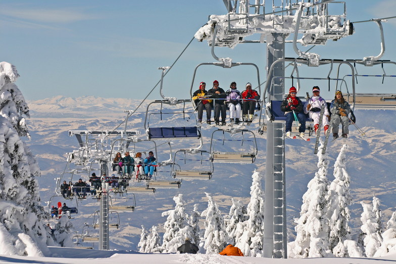
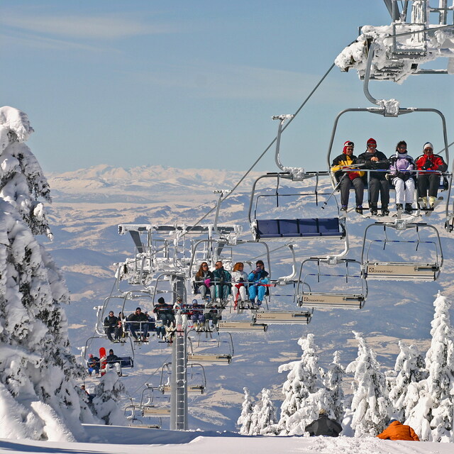
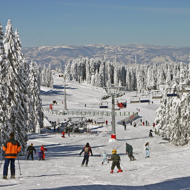
Despite its modest elevation and vertical drop, Kopaonik is a fantastic all-around resort. The terrain is very forgiving and welcoming for beginners, as well as enthusiasts who enjoy venturing beyond the pistes. As a group of 10 snowboarders, we particularly enjoyed the runs centered around the summit of Velika Gobelja (runs 11, 12, and 13), where there are numerous options for tree runs.
While night skiing can be crowded with ski lessons, it's a great opportunity to get a few bonus runs in when it's cold and less crowded.
However, a word of caution about the prevalence of public smoking in Serbia: with around 37% of adults being regular smokers, the pervasive smell of cigarette smoke in public places can make the experience quite unpleasant for non-smokers.
On a positive note, the tourist office staff were very friendly and accommodating. We highly recommend Planet Bike for equipment rental, they even gave us a discount because it was raining. Also recommend the Green Ski bar at the top of lift 7 for its good food an excellent service.
Free Snow-Forecast.com weather widget for your website
Embed the Kopaonik weather widget on your site for free. It provides a weekly snapshot of snow and rain conditions across all elevations. Follow the two quick steps to grab your custom code and paste it into your site. Choose between metric or imperial units. Click here to get the code.


 Nearest