

Global Weekly Snow Roundup #318
Weekly Snow News for the world, updated 11 June 2026: Australia's season begins, Val d’Isère reopens and major snowfall is forecast for the Andes.

Next 4 days weather summary:Light rain (total 4.0mm), mostly falling on Fri night. Very mild (max 16°C on Mon afternoon, min 7°C on Sat morning). Wind will be generally light. | Days 5-7 weather summary:Heavy rain (total 21.0mm), heaviest during Wed afternoon. Very mild (max 15°C on Tue afternoon, min 11°C on Wed afternoon). Wind will be generally light. | |||||||||||||||
Saturday 13 | Sunday 14 | Monday 15 | Tuesday 16 | Wednesday 17 | ||||||||||||
night | AM | PM | night | AM | PM | night | AM | PM | night | AM | PM | night | AM | PM | night | |
rain shwrs | clear | some clouds | clear | clear | clear | clear | clear | some clouds | some clouds | some clouds | some clouds | some clouds | some clouds | t-storm risk | rain shwrs | |
km/h | ||||||||||||||||
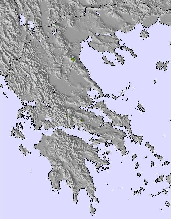
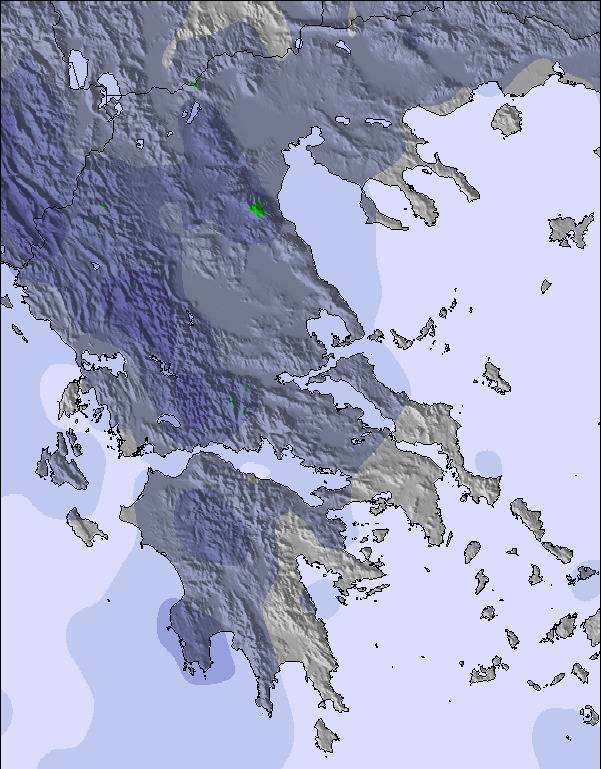
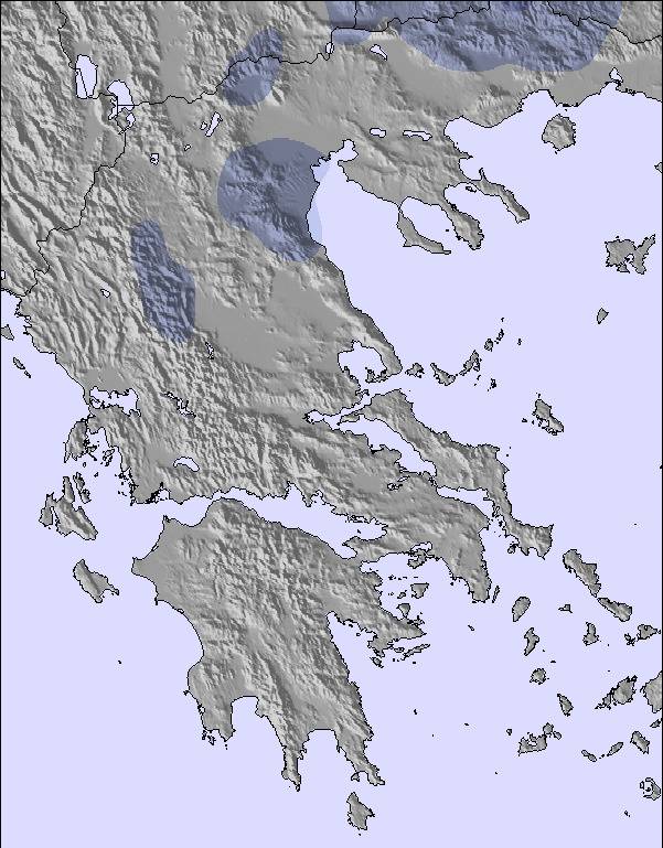
Snow map | 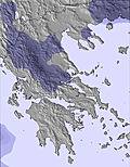 | 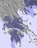 | 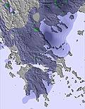 | 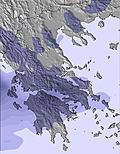 | 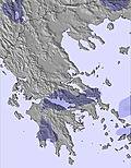 | 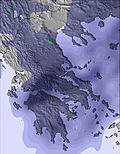 | ||||||||||
— | — | — | — | — | — | — | — | — | — | — | — | — | — | — | — | |
4 | — | — | — | — | — | — | — | — | — | — | — | — | — | 16 | 2 | |
max °C | 9 | 9 | 10 | 9 | 11 | 13 | 13 | 14 | 16 | 14 | 14 | 15 | 14 | 14 | 13 | 14 |
min °C | 8 | 7 | 10 | 9 | 9 | 12 | 12 | 13 | 15 | 14 | 14 | 15 | 13 | 13 | 11 | 12 |
6 | 5 | 9 | 8 | 7 | 11 | 11 | 13 | 14 | 13 | 14 | 15 | 13 | 13 | 11 | 11 | |
78 | 75 | 60 | 60 | 49 | 45 | 50 | 41 | 34 | 32 | 29 | 45 | 49 | 59 | 75 | 64 | |
3450 | 3450 | 3400 | 3500 | 3750 | 3600 | 4200 | 4150 | 4150 | 4200 | 4150 | 3900 | 3900 | 3850 | 3900 | 3850 | |
— | 6:05 | — | — | 6:05 | — | — | 6:05 | — | — | 6:05 | — | — | 6:05 | — | — | |
— | — | 8:58 | — | — | 8:59 | — | — | 8:59 | — | — | — | 9:00 | — | — | 9:00 | |
Go pro and carve into:
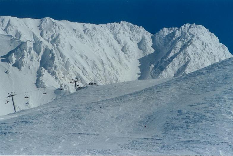
Latest snow reports near Karpenisi:
| Top snow depth: | — |
|---|---|
| Bottom snow depth: | — |
| Fresh snowfall depth: | — |
| Last snowfall: | 3 May 2026 |
| Snow Alerts | Create Alert |
0.0 | Bluebird Powder days Fresh snow, mostly sunny, light wind. |
|---|---|
0.0 | Powder days Fresh snow, limited sun, any wind. |
0.0 | Bluebird days Average snow, mostly sunny, light wind. |
The above table gives the weather forecast for Karpenisi at the specific elevation of 2030 m. Our sophisticated weather models allow us to provide snow forecasts for the top, middle and bottom ski stations of Karpenisi. To access the weather forecasts for the other elevations, use the tab navigation above the table. For a wider view of the weather, check out the Weather Map of Greece.
Click here to read further information on freezing levels and how we forecast our temperatures.
Overall 3.9 Based on 37 votes and 13 reviews
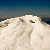
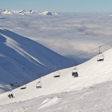
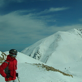
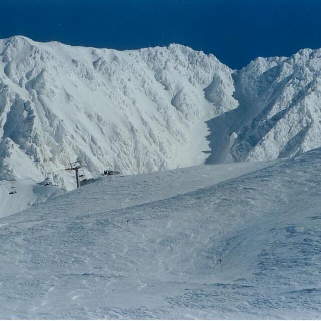
This is a relatively small resort with great potential and, for its size, it has a wide range of slopes from beginner to difficult and some off-piste thrown in. The runs tend to be of average length. Snow conditions tend to be surprisingly good given the geographical latitude it lies at. It is situated in a very mountainous area in central/western Greece with beautiful forests and a has a strong regional character. Views from the slopes are really impressive. Here comes the "but": the resort suffers from an old lift system and sometimes an erratic schedule of days when it's open vs closed; suffices to say that in February 2018 a group of us visited the resort twice during the month. At the first visit, the snow conditions were average and the resort was open but the lifts leading to the challenging pistes were not operating. In late February 2018 there was a lot of snowfall. That resulted in excellent snow conditions but the resort remained shut at least 2 days after the last snowfall despite the fact the road had been opened and there was abundant sunshine. No credible reason was given and even the staff at the hotel where we stayed at were surprised. With some investment in the lift system and an improvement in the management of the resort one can but hopeful that Velouchi / Karpenissi resort will realise its full potential and develop into one of the best in South Eastern Europe. For that to happen management and the local government have to apply persistent efforts and understand the gem they have got in their hands.
Michalis from United Kingdom writes:
This is a relatively small resort with great potential and, for its size, it has a wide range of slopes from beginner to difficult and some off-piste thrown in. The runs tend to be of average length. Snow conditions tend to be surprisingly good given the geographical latitude it lies at.
It is situated in a very mountainous area in central/western Greece with beautiful forests and a has a strong regional character. Views from the slopes are really impressive.
Here comes the "but": the resort suffers from an old lift system and sometimes an erratic schedule of days when it's open vs closed; suffices to say that in February 2018 a group of us visited the resort twice during the month. At the first visit, the snow conditions were average and the resort was open but the lifts leading to the challenging pistes were not operating. In late February 2018 there was a lot of snowfall. That resulted in excellent snow conditions but the resort remained shut at least 2 days after the last snowfall despite the fact the road had been opened and there was abundant sunshine. No credible reason was given and even the staff at the hotel where we stayed at were surprised.
With some investment in the lift system and an improvement in the management of the resort one can but hopeful that Velouchi / Karpenissi resort will realise its full potential and develop into one of the best in South Eastern Europe. For that to happen management and the local government have to apply persistent efforts and understand the gem they have got in their hands.

 Nearest