Issued by Snow-Forecast.com at:1 am (local time) / 16 May 2026
Last 6 daysScroll left for last 6 daysNow
Next 3 days weather summary:
Moderate rain (total 10.0mm), heaviest on Sat night. Warm (max 21°C on Mon afternoon, min 7°C on Sun night). Winds decreasing (fresh winds from the WNW on Sun morning, calm by Sun night).
Days 4-6 weather summary:
Moderate rain (total 17.0mm), heaviest on Wed afternoon. Warm (max 24°C on Tue afternoon, min 3°C on Wed night). Winds decreasing (strong winds from the W on Tue night, calm by Thu night).
The above table gives the weather forecast for Jay Peak at the specific elevation of 553 m. Our sophisticated weather models allow us to provide snow forecasts for the top, middle and bottom ski stations of Jay Peak. To access the weather forecasts for the other elevations, use the tab navigation above the table. For a wider view of the weather, check out the Weather Map of United States.
Click here to read further information on freezing levels and how we forecast our temperatures.
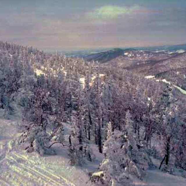
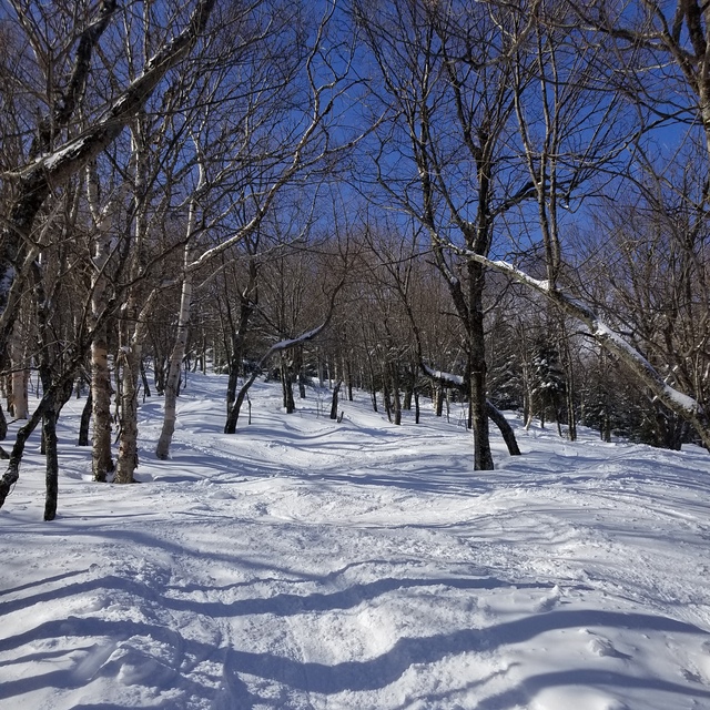
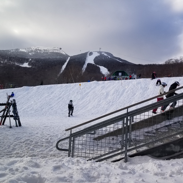
Lets face it, we're not comparing the terrain here to that of the phenomenal ski circuses found in the Austrian Alps, so getting grounded on that thought Jay Peak is one of the best to be skied venues in Eastern N.A.! You get the best chances for fresh here, combined with a reasonable consistent vertical drop and an assortment of runs ( I'd like to highlight the glades, moguls and piste pitch). It is, however, expensive to stay overnight on or off hill but does offer a great indoor waterpark for family; fyi: not pet friendly! They will fine you for it without compromise! Check out the General Store in Jay for a fabulous "Slab" sandwich and whatever else too!
Lets face it, we're not comparing the terrain here to that of the phenomenal ski circuses found in the Austrian Alps, so getting grounded on that thought Jay Peak is one of the best to be skied venues in Eastern N.A.! You get the best chances for fresh here, combined with a reasonable consistent vertical drop and an assortment of runs ( I'd like to highlight the glades, moguls and piste pitch). It is, however, expensive to stay overnight on or off hill but does offer a great indoor waterpark for family; fyi: not pet friendly! They will fine you for it without compromise! Check out the General Store in Jay for a fabulous "Slab" sandwich and whatever else too!
Free Snow-Forecast.com weather widget for your website
Embed the Jay Peak weather widget on your site for free. It provides a weekly snapshot of snow and rain conditions across all elevations. Follow the two quick steps to grab your custom code and paste it into your site. Choose between metric or imperial units. Click here to get the code.


 Nearest