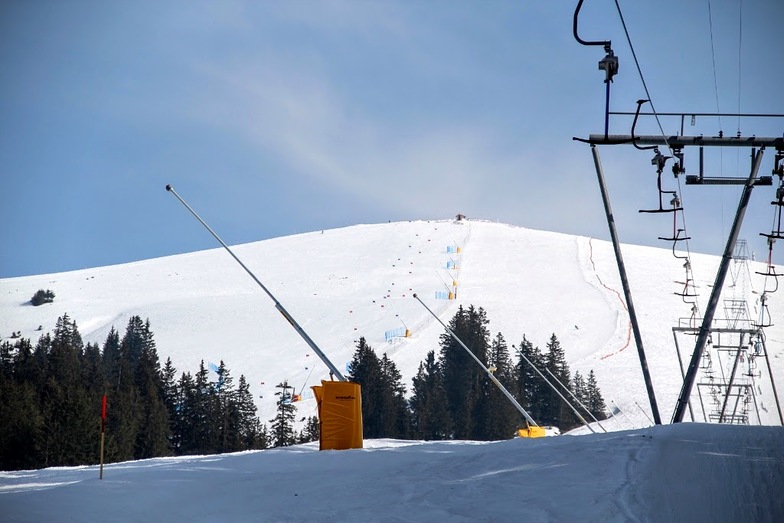


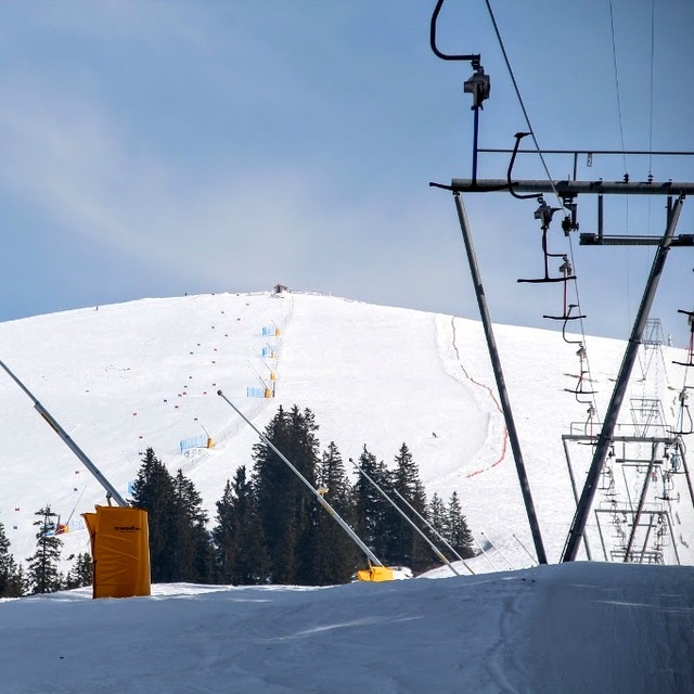
Tignes Unlimited Festival Into May
Tignes, one of the few French ski areas staying open into May, will round off the 2025–26 winter season with the return of the Tignes Unlimited electronic music festival, running from 25 April to 3 May 2026.

Next 3 days weather summary:Light rain (total 4.0mm), mostly falling on Tue afternoon. Very mild (max 15°C on Thu afternoon, min 4°C on Tue night). Wind will be generally light. | Days 4-6 weather summary:Mostly dry. Very mild (max 17°C on Fri afternoon, min 7°C on Fri night). Wind will be generally light. | |||||||||||||||||
Tuesday 21 | Wednesday 22 | Thursday 23 | Friday 24 | Saturday 25 | Sunday 26 | |||||||||||||
AM | PM | night | AM | PM | night | AM | PM | night | AM | PM | night | AM | PM | night | AM | PM | night | |
clear | rain shwrs | clear | clear | rain shwrs | rain shwrs | clear | clear | clear | clear | clear | clear | clear | clear | clear | clear | some clouds | some clouds | |
km/h | ||||||||||||||||||
Snow map |  |  |  |  |  |  | ||||||||||||
— | — | — | — | — | — | — | — | — | — | — | — | — | — | — | — | — | — | |
— | 2 | — | — | 1 | 1 | — | — | — | — | — | — | — | — | — | — | — | — | |
max °C | 11 | 12 | 7 | 12 | 14 | 9 | 13 | 15 | 10 | 14 | 17 | 11 | 15 | 17 | 11 | 15 | 17 | 11 |
min °C | 6 | 10 | 4 | 7 | 13 | 5 | 8 | 15 | 6 | 9 | 17 | 7 | 10 | 17 | 7 | 10 | 16 | 8 |
6 | 9 | 4 | 7 | 12 | 5 | 8 | 15 | 6 | 9 | 17 | 7 | 10 | 17 | 7 | 10 | 16 | 8 | |
65 | 66 | 68 | 51 | 55 | 72 | 47 | 49 | 60 | 29 | 36 | 47 | 36 | 39 | 68 | 42 | 54 | 76 | |
2350 | 2250 | 2150 | 2400 | 2500 | 2300 | 2700 | 2950 | 3150 | 3300 | 3300 | 3400 | 3250 | 3100 | 3250 | 3300 | 3300 | 3150 | |
6:31 | — | — | 6:30 | — | — | 6:28 | — | — | 6:26 | — | — | 6:24 | — | — | 6:24 | — | — | |
— | — | 8:23 | — | — | 8:24 | — | — | 8:27 | — | — | 8:28 | — | — | 8:29 | — | — | 8:30 | |
Latest snow reports near Frutigen - Elsigen - Metsch:
| Top snow depth: | 0 cm |
|---|---|
| Bottom snow depth: | 0 cm |
| Fresh snowfall depth: | — |
| Last snowfall: | 13 Apr 2026 |
| Snow Alerts | Create Alert |
0.0 | Bluebird Powder days Fresh snow, mostly sunny, light wind. |
|---|---|
0.1 | Powder days Fresh snow, limited sun, any wind. |
0.0 | Bluebird days Average snow, mostly sunny, light wind. |
The above table gives the weather forecast for Frutigen - Elsigen - Metsch at the specific elevation of 929 m. Our sophisticated weather models allow us to provide snow forecasts for the top, middle and bottom ski stations of Frutigen - Elsigen - Metsch. To access the weather forecasts for the other elevations, use the tab navigation above the table. For a wider view of the weather, check out the Weather Map of Switzerland.
Click here to read further information on freezing levels and how we forecast our temperatures.
Overall 3.0 Based on 14 votes and 2 reviews
Gutes und familenfreundliches Skigebiet.
Theodor from Switzerland writes:
Gutes und familenfreundliches Skigebiet.
Read 1 more reviews of Frutigen - Elsigen - Metsch or submit your own


 Nearest