
Europe Weekly Snow Roundup #319
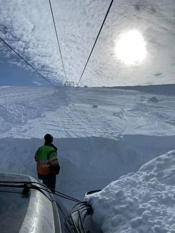
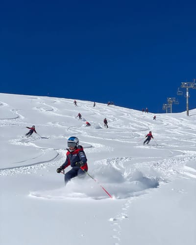
Weekly Snow News for Europe, updated 18 June 2026: Alpine glaciers freshen with new snow as Tignes readies to rejoin Europe's summer ski line-up.

Next 3 days weather summary:Light rain (total 2.0mm), mostly falling on Sun night. Very mild (max 12°C on Mon afternoon, min 7°C on Tue night). Wind will be generally light. | Days 4-6 weather summary:Heavy rain (total 21.0mm), heaviest during Fri night. Very mild (max 11°C on Wed afternoon, min 6°C on Thu night). Wind will be generally light. | ||||||||||||||||
Sun 19 | Monday 20 | Tuesday 21 | Wednesday 22 | Thursday 23 | Friday 24 | ||||||||||||
PM | night | AM | PM | night | AM | PM | night | AM | PM | night | AM | PM | night | AM | PM | night | |
some clouds | rain shwrs | clear | some clouds | some clouds | cloudy | cloudy | some clouds | some clouds | some clouds | clear | some clouds | some clouds | light rain | light rain | light rain | heavy rain | |
km/h | |||||||||||||||||
Snow map |  |  | 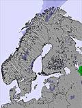 | 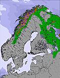 | 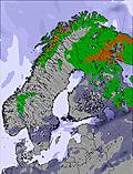 | 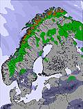 | |||||||||||
— | — | — | — | — | — | — | — | — | — | — | — | — | — | — | — | — | |
mm | — | 2 | — | — | — | — | — | — | — | — | — | — | — | 1 | 2 | 3 | 13 |
max °C | 11 | 10 | 11 | 12 | 12 | 11 | 10 | 8 | 8 | 11 | 11 | 9 | 9 | 8 | 6 | 6 | 7 |
min °C | 11 | 9 | 10 | 12 | 10 | 10 | 9 | 7 | 7 | 9 | 9 | 9 | 9 | 6 | 6 | 6 | 6 |
chill °C | 10 | 9 | 10 | 12 | 10 | 10 | 8 | 6 | 6 | 8 | 9 | 8 | 8 | 4 | 4 | 3 | 2 |
Humid % | 60 | 70 | 64 | 64 | 69 | 70 | 81 | 94 | 90 | 67 | 70 | 63 | 68 | 91 | 99 | 99 | 100 |
Freeze m | 2550 | 2500 | 2550 | 2700 | 3100 | 3000 | 3000 | 2500 | 2900 | 3050 | 3050 | 3000 | 2750 | 2450 | 2600 | 2450 | 2250 |
— | — | 4:47 | — | — | 4:48 | — | — | 4:50 | — | — | 4:52 | — | — | 4:54 | — | — | |
— | 10:35 | — | — | 10:32 | — | — | 10:30 | — | — | 10:29 | — | — | 10:27 | — | — | 10:24 | |
Go pro and carve into:
Avalanche information: Varsom.no Avalanche Warnings
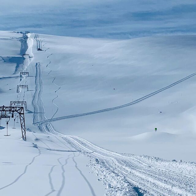
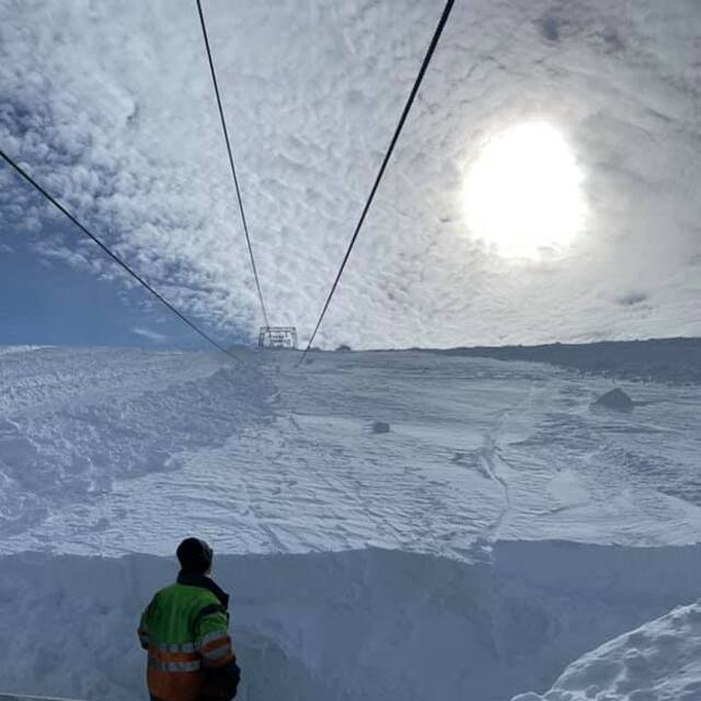
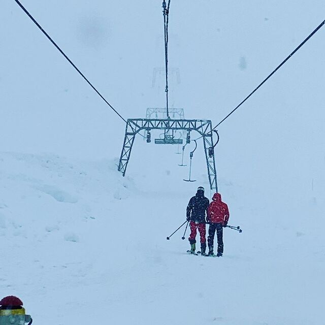
Latest snow reports near Fonna Glacier:
| Top snow depth: | 0 cm |
|---|---|
| Bottom snow depth: | 0 cm |
| Fresh snowfall depth: | — |
| Last snowfall: | 7 Jul 2026 |
| Snow Alerts | Create Alert |
0.0 | Bluebird Powder days Fresh snow, mostly sunny, light wind. |
|---|---|
0.0 | Powder days Fresh snow, limited sun, any wind. |
0.0 | Bluebird days Average snow, mostly sunny, light wind. |
The above table gives the weather forecast for Fonna Glacier at the specific elevation of 1124 m. Our sophisticated weather models allow us to provide snow forecasts for the top, middle and bottom ski stations of Fonna Glacier. To access the weather forecasts for the other elevations, use the tab navigation above the table. For a wider view of the weather, check out the Weather Map of Norway.
Click here to read further information on freezing levels and how we forecast our temperatures.


 Nearest