

Global Weekly Snow Roundup #314
Weekly Global Snow News, updated 14 May 2026: Fresh snowfall in Argentina, Australia and Lesotho signals winter’s approach, while Japan maintains the world’s deepest snowpack.

Next 3 days weather summary:A dusting of new snow. Mild temperatures (max 6°C on Mon morning, min 1°C on Sat morning). Wind will be generally light. | Days 4-6 weather summary:Mostly dry. Mild temperatures (max 8°C on Tue afternoon, min 4°C on Wed night). Wind will be generally light. | |||||||||||||||||
Saturday 16 | Sunday 17 | Monday 18 | Tuesday 19 | Wednesday 20 | Thursday 21 | |||||||||||||
AM | PM | night | AM | PM | night | AM | PM | night | AM | PM | night | AM | PM | night | AM | PM | night | |
snow shwrs | snow shwrs | clear | clear | clear | clear | clear | clear | clear | clear | clear | clear | cloudy | cloudy | some clouds | clear | clear | clear | |
km/h | ||||||||||||||||||
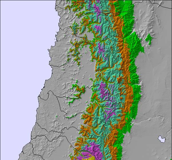
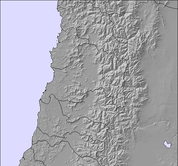
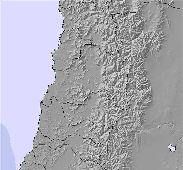
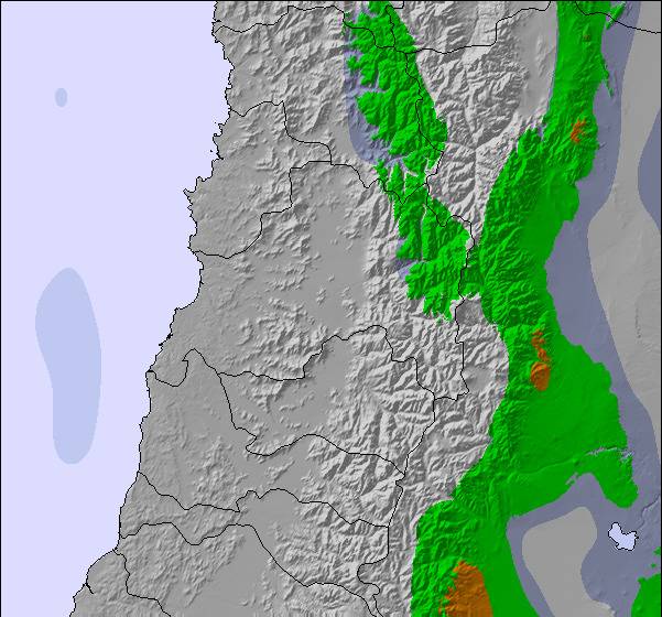
Snow map | 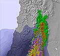 | 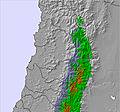 | 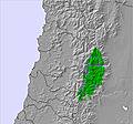 | 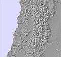 |  | 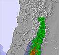 | ||||||||||||
1 | — | — | — | — | — | — | — | — | — | — | — | — | — | — | — | — | — | |
— | — | — | — | — | — | — | — | — | — | — | — | — | — | — | — | — | — | |
max °C | 2 | 1 | 2 | 3 | 4 | 5 | 6 | 6 | 6 | 7 | 8 | 8 | 7 | 7 | 5 | 5 | 5 | 7 |
min °C | 1 | 1 | 1 | 2 | 4 | 4 | 5 | 6 | 6 | 6 | 7 | 7 | 7 | 6 | 4 | 4 | 5 | 5 |
-4 | -4 | -4 | 1 | 4 | 4 | 3 | 4 | 4 | 5 | 7 | 6 | 7 | 6 | 4 | 4 | 5 | 5 | |
60 | 52 | 32 | 8 | 15 | 8 | 9 | 10 | 10 | 7 | 10 | 6 | 6 | 11 | 16 | 17 | 19 | 11 | |
3100 | 3050 | 3100 | 3300 | 3450 | 3500 | 3600 | 3650 | 3700 | 3800 | 3850 | 3950 | 3800 | 3700 | 3450 | 3550 | 3550 | 3750 | |
7:26 | — | — | 7:26 | — | — | 7:26 | — | — | 7:28 | — | — | 7:28 | — | — | 7:28 | — | — | |
— | 5:50 | — | — | 5:49 | — | — | 5:47 | — | — | 5:47 | — | — | 5:46 | — | — | 5:46 | — | |
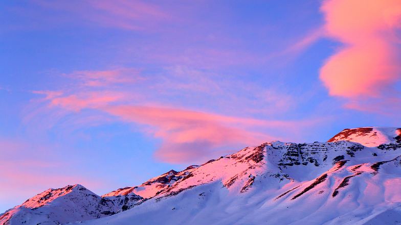
Latest snow reports near Farellones:
Snowing heavily at altitude in Valle Nevado. from Valle Nevado
| Top snow depth: | — |
|---|---|
| Bottom snow depth: | — |
| Fresh snowfall depth: | — |
| Last snowfall: | 6 May 2026 |
| Snow Alerts | Create Alert |
0.1 | Bluebird Powder days Fresh snow, mostly sunny, light wind. |
|---|---|
0.3 | Powder days Fresh snow, limited sun, any wind. |
0.4 | Bluebird days Average snow, mostly sunny, light wind. |
The above table gives the weather forecast for Farellones at the specific elevation of 2884 m. Our sophisticated weather models allow us to provide snow forecasts for the top, middle and bottom ski stations of Farellones. To access the weather forecasts for the other elevations, use the tab navigation above the table. For a wider view of the weather, check out the Weather Map of Chile.
Click here to read further information on freezing levels and how we forecast our temperatures.
Overall 4.6 Based on 3 votes and 3 reviews
Most people consult your web page during the winter months. As an alpine botanist who has worked on the high elevation flora in the Farellones- La Parva- Valle Nevado area, for over 25 years, I find the weather information very useful for planning my ecological experiments which take place during the spring, summer and autumn months.
Dr. Mary T. Kalin Arroyo from Chile writes:
Most people consult your web page during the winter months. As an alpine botanist who has worked on the high elevation flora in the Farellones- La Parva- Valle Nevado area, for over 25 years, I find the weather information very useful for planning my ecological experiments which take place during the spring, summer and autumn months.

 Nearest