

Global Weekly Snow Roundup #318
Weekly Snow News for the world, updated 11 June 2026: Australia's season begins, Val d’Isère reopens and major snowfall is forecast for the Andes.

Next 3 days weather summary:Mostly dry. Very mild (max 16°C on Fri afternoon, min 12°C on Sat night). Wind will be generally light. | Days 4-6 weather summary:Some drizzle, heaviest during Wed afternoon. Very mild (max 16°C on Mon afternoon, min 11°C on Tue night). Wind will be generally light. | |||||||||||||||||
Friday 12 | Saturday 13 | Sunday 14 | Monday 15 | Tuesday 16 | Wednesday 17 | |||||||||||||
AM | PM | night | AM | PM | night | AM | PM | night | AM | PM | night | AM | PM | night | AM | PM | night | |
clear | clear | clear | clear | clear | clear | clear | clear | clear | clear | clear | clear | clear | clear | clear | clear | rain shwrs | clear | |
km/h | ||||||||||||||||||
Snow map | 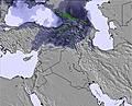 | 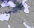 | 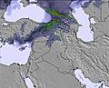 | 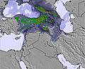 | 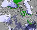 | 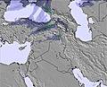 | ||||||||||||
— | — | — | — | — | — | — | — | — | — | — | — | — | — | — | — | — | — | |
— | — | — | — | — | — | — | — | — | — | — | — | — | — | — | — | 1 | — | |
max °C | 15 | 16 | 15 | 16 | 15 | 13 | 15 | 16 | 15 | 15 | 16 | 14 | 15 | 15 | 13 | 14 | 15 | 13 |
min °C | 13 | 16 | 13 | 15 | 14 | 12 | 14 | 15 | 13 | 14 | 15 | 13 | 14 | 14 | 11 | 12 | 14 | 11 |
12 | 15 | 12 | 14 | 13 | 12 | 14 | 15 | 13 | 13 | 14 | 13 | 13 | 14 | 11 | 11 | 14 | 10 | |
37 | 27 | 27 | 29 | 23 | 33 | 24 | 21 | 24 | 18 | 19 | 24 | 25 | 23 | 31 | 53 | 39 | 46 | |
4800 | 5050 | 4900 | 4900 | 5050 | 4800 | 4900 | 5100 | 4950 | 4800 | 5000 | 4850 | 4850 | 5000 | 4850 | 4850 | 5100 | 4900 | |
4:46 | — | — | 4:46 | — | — | 4:46 | — | — | 4:46 | — | — | 4:46 | — | — | 4:46 | — | — | |
— | 7:21 | — | — | 7:21 | — | — | 7:21 | — | — | 7:22 | — | — | 7:22 | — | — | 7:22 | — | |
Go pro and carve into:
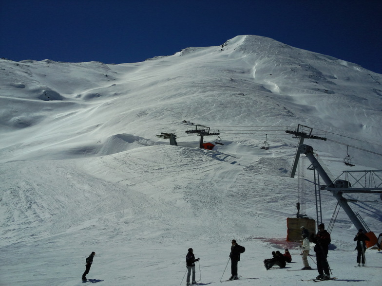
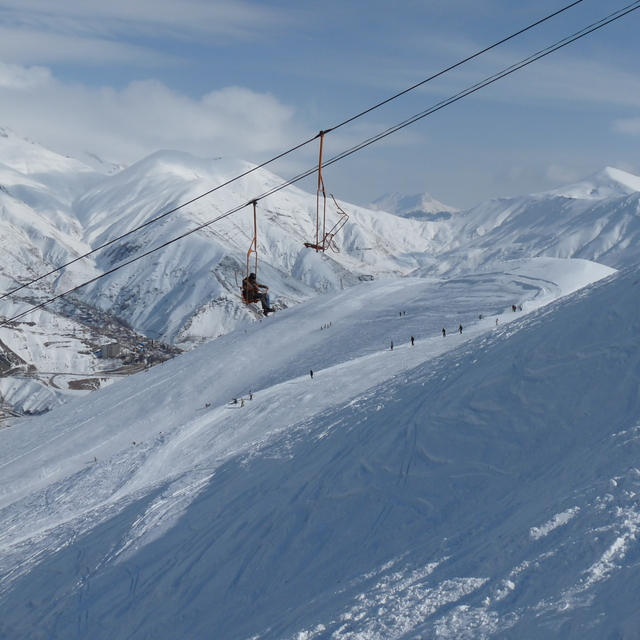
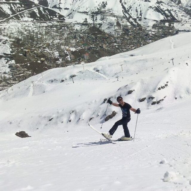
Latest snow reports near Darbandsar:
| Top snow depth: | — |
|---|---|
| Bottom snow depth: | — |
| Fresh snowfall depth: | — |
| Last snowfall: | 20 May 2026 |
| Snow Alerts | Create Alert |
0.0 | Bluebird Powder days Fresh snow, mostly sunny, light wind. |
|---|---|
0.0 | Powder days Fresh snow, limited sun, any wind. |
0.0 | Bluebird days Average snow, mostly sunny, light wind. |
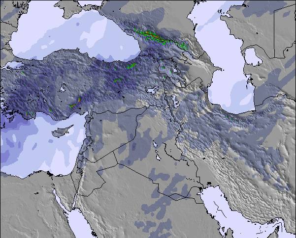
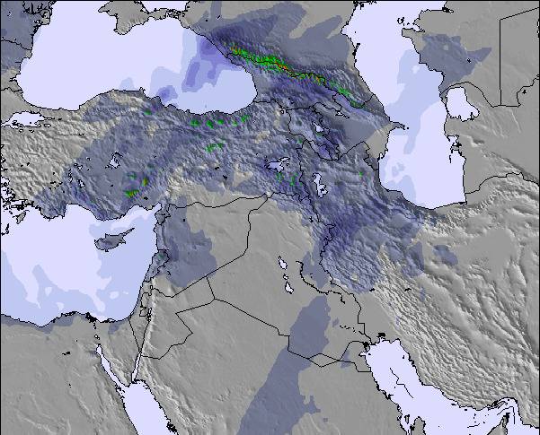
The above table gives the weather forecast for Darbandsar at the specific elevation of 3098 m. Our sophisticated weather models allow us to provide snow forecasts for the top, middle and bottom ski stations of Darbandsar. To access the weather forecasts for the other elevations, use the tab navigation above the table. For a wider view of the weather, check out the Weather Map of Iran (Islamic Republic of).
Click here to read further information on freezing levels and how we forecast our temperatures.
Overall 3.7 Based on 48 votes and 25 reviews
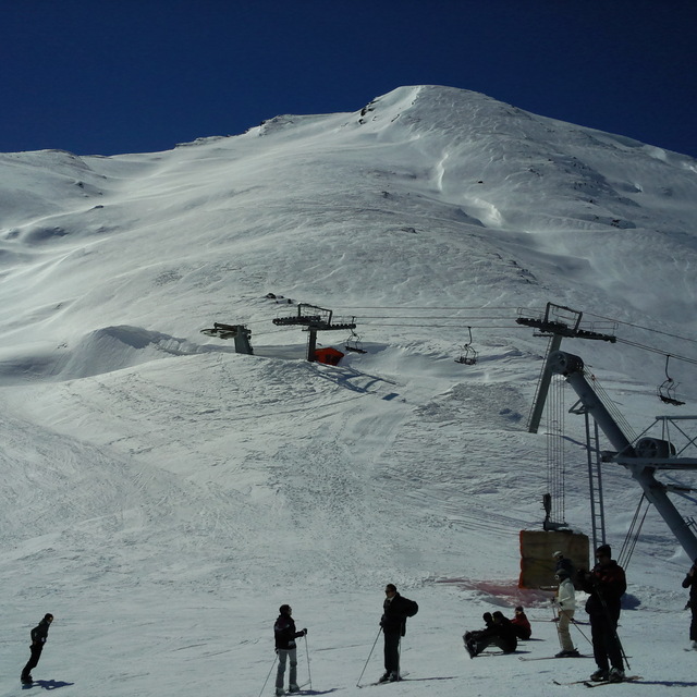
Darbandsar Ski Resort is the first private resort in Iran. Considering Iran's sovereignty, the deficiencies are logical. You have a unique view there and good snow considering Iran's drought. It is not 100% comparable to European slopes, but it is worth skiing.
Masoud from Iran writes:
Darbandsar Ski Resort is the first private resort in Iran. Considering Iran's sovereignty, the deficiencies are logical. You have a unique view there and good snow considering Iran's drought.
It is not 100% comparable to European slopes, but it is worth skiing.

 Nearest