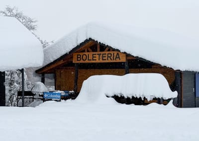
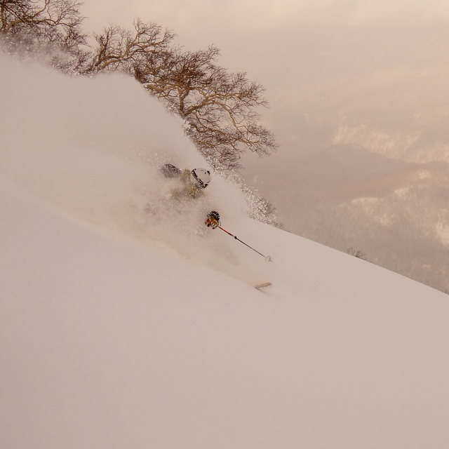
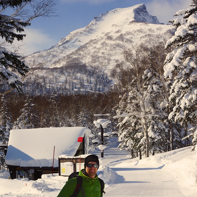
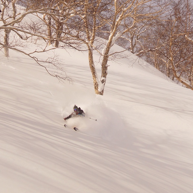
Kurodake snow
Ski Japan - Hokkaido

Kurodake Snow Forecast

Weather Forecast for Kurodake at 1550 m
Issued: 2 pm  28 Mar 2024 (local time)

New snow in Kurodake

8.6cm3.4in
Fri 29th (AM)
The snow forecast for Kurodake is: A heavy fall of snow, heaviest during Fri afternoon. Freeze-thaw conditions (max 1°C on Fri afternoon, min -9°C on Sat afternoon). Winds increasing (light winds from the SSW on Thu afternoon, gales from the WSW by Sat afternoon).

Kurodake Weather (Next 3 days): The snow forecast for Kurodake is: A heavy fall of snow, heaviest during Fri afternoon. Freeze-thaw conditions (max 1°C on Fri afternoon, min -9°C on Sat afternoon). Winds increasing (light winds from the SSW on Thu afternoon, gales from the WSW by Sat afternoon).

Kurodake Weather (Days 4-6): A heavy fall of snow, heaviest during Tue afternoon. Temperatures will be well below freezing (max -6°C on Wed morning, min -10°C on Mon night). Winds decreasing (gales from the W on Sun afternoon, calm by Wed morning).


Kurodake Live Weather

ResortSnow DepthTemp. (°C)Wind (km/h)Weather
Top Lift: 3.2m
-2
15
cloud
Middle Lift: 
-1
10
cloud
Bottom Lift: 2.3m
-2
10
cloud
Powered by Snow-Forecast.comSnow-Forecast.com
6 Day Forecast
Issued: 2 pm 28 Mar 2024 / Updates in ::
Change Forecast Height
Choose Forecast
Last 6 daysScroll left for last 6 daysNow
Thu
28
Friday
29
Saturday
30
Sunday
31
Monday
1
Tuesday
2
Wednesday
3
PM
night
AM
PM
night
AM
PM
night
AM
PM
night
AM
PM
night
AM
PM
night
AM
PM
night
cloud
light snow
light snow
mod snow
snow showers
light snow
snow showers
snow showers
snow showers
light snow
light snow
light snow
mod snow
snow showers
light snow
mod snow
snow showers
part cloud
light snow
snow showers
cloudy
light snow
light snow
mod. snow
snow shwrs
light snow
snow shwrs
snow shwrs
snow shwrs
light snow
light snow
light snow
mod. snow
snow shwrs
light snow
mod. snow
snow shwrs
some clouds
light snow
snow shwrs
 km/h
10
SSW
15
S
35
S
35
S
35
SSW
50
WSW
70
WSW
45
WSW
50
WSW
70
W
45
WSW
35
WSW
30
WSW
25
W
35
W
40
WNW
20
WNW
5
NW
5
NNE
10
NW
Snow map
 cm 
4
5
2.0
3
3
4
3
2.0
2.0
4
5
7
5
8
1.0
2.0
3
 mm 
max°C
-3
-2
-2
1
1
-6
-8
-9
-8
-9
-9
-8
-8
-9
-9
-10
-8
-6
-6
-7
min°C
-4
-3
-3
-2
-4
-6
-9
-9
-9
-9
-9
-9
-9
-10
-10
-10
-10
-8
-6
-8
chill°C 
-8
-10
-11
-10
-14
-16
-22
-21
-22
-22
-20
-19
-16
-18
-20
-21
-18
-11
-6
-13
Humid% 
46
12
89
87
41
96
94
87
88
91
90
94
88
87
89
95
79
78
89
92
Freezing level (m
1050
850
1050
1100
1650
750
450
50
450
350
150
400
550
0
200
250
0
500
750
200
topliftbotliftSea lvl1000m2000m3000m4000m5000m
-4-3-3-1-2-6-9-9-9-9-9-9-9-10-10-10-9-7-6-82-22321-2-4-1-3-4-1-1-5-3-4-810-4
Sunrise
5:13
5:13
5:11
5:09
5:07
5:05
Sunset
5:50
5:51
5:52
5:53
5:54
5:55
5:57

Snow Radar

Latest snow reports near Kurodake:

No recent snow reports

No recent snow reports

Kurodake Snow Conditions

Top snow depth:320cm
Bottom snow depth:230cm
Fresh snowfall depth:
Last snowfall:25 Mar 2024
Snow AlertsCreate Alert
Other resorts in Japan - Hokkaido are reporting: powder (0) / good piste (0)

Snow-Forecast Partner Offers

Snow History

Week 4 of March has on average:
1.3
Bluebird Powder days
Fresh snow, mostly sunny, light wind.
2.6
Powder days
Fresh snow, limited sun, any wind.
0.9
Bluebird days
Average snow, mostly sunny, light wind.