
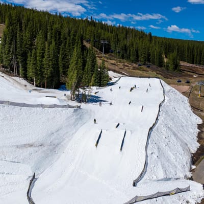
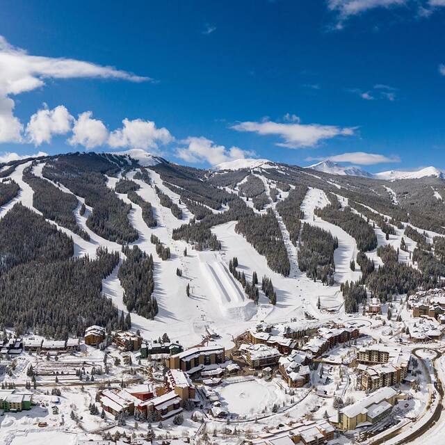
Colorado’s Summer Snowpark Opening More Days This Year
The summer terrain park at Colorado’s Copper Mountain will be open four days a week this year, extending from three days previously.

Next 3 days weather summary:Light rain (total 2.0mm), mostly falling on Sat night. Very mild (max 16°C on Sat afternoon, min 3°C on Sun night). Winds decreasing (fresh winds from the W on Fri morning, calm by Sun night). | Days 4-6 weather summary:Some drizzle, heaviest during Mon morning. Very mild (max 19°C on Wed afternoon, min 3°C on Mon night). Winds decreasing (fresh winds from the WNW on Tue afternoon, calm by Wed night). | |||||||||||||||||
Friday 12 | Saturday 13 | Sunday 14 | Monday 15 | Tuesday 16 | Wednesday 17 | |||||||||||||
AM | PM | night | AM | PM | night | AM | PM | night | AM | PM | night | AM | PM | night | AM | PM | night | |
clear | clear | clear | clear | some clouds | rain shwrs | some clouds | t-storm risk | some clouds | rain shwrs | some clouds | some clouds | clear | clear | clear | clear | clear | clear | |
km/h | ||||||||||||||||||
Snow map |  |  | 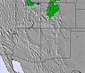 | 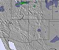 |  |  | ||||||||||||
— | — | — | — | — | — | — | — | — | — | — | — | — | — | — | — | — | — | |
— | — | — | — | — | 1 | — | 1 | — | 1 | — | — | — | — | — | — | — | — | |
max °C | 14 | 15 | 9 | 15 | 16 | 5 | 13 | 13 | 8 | 12 | 14 | 7 | 14 | 17 | 11 | 16 | 19 | 12 |
min °C | 11 | 15 | 5 | 12 | 16 | 4 | 10 | 12 | 3 | 9 | 13 | 3 | 11 | 16 | 6 | 13 | 18 | 6 |
8 | 13 | 4 | 10 | 14 | 2 | 8 | 10 | 1 | 6 | 11 | 1 | 9 | 14 | 4 | 11 | 17 | 5 | |
15 | 13 | 27 | 19 | 20 | 80 | 43 | 41 | 72 | 46 | 23 | 44 | 34 | 27 | 45 | 34 | 20 | 39 | |
4800 | 5100 | 4400 | 4950 | 5050 | 4100 | 4700 | 4850 | 4050 | 4450 | 5050 | 4350 | 5100 | 5500 | 4750 | 5300 | 5600 | 4750 | |
5:35 | — | — | 5:35 | — | — | 5:35 | — | — | 5:35 | — | — | 5:35 | — | — | 5:37 | — | — | |
— | 8:31 | — | — | 8:31 | — | — | 8:32 | — | — | 8:32 | — | — | 8:32 | — | — | 8:34 | — | |
Go pro and carve into:
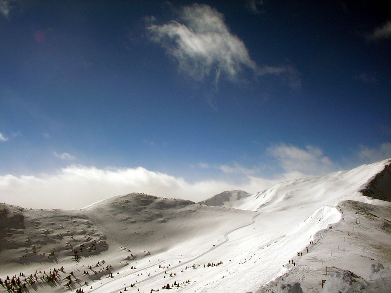
Avalanche information: Colorado Avalanche Information Center
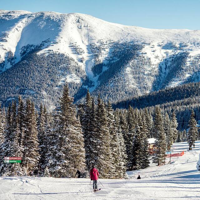
Latest snow reports near Copper Mountain:
| Top snow depth: | 0 cm |
|---|---|
| Bottom snow depth: | 0 cm |
| Fresh snowfall depth: | — |
| Last snowfall: | 19 May 2026 |
| Snow Alerts | Create Alert |
0.0 | Bluebird Powder days Fresh snow, mostly sunny, light wind. |
|---|---|
0.1 | Powder days Fresh snow, limited sun, any wind. |
0.0 | Bluebird days Average snow, mostly sunny, light wind. |
The above table gives the weather forecast for Copper Mountain at the specific elevation of 3356 m. Our sophisticated weather models allow us to provide snow forecasts for the top, middle and bottom ski stations of Copper Mountain. To access the weather forecasts for the other elevations, use the tab navigation above the table. For a wider view of the weather, check out the Weather Map of United States.
Click here to read further information on freezing levels and how we forecast our temperatures.
Overall 3.7 Based on 17 votes and 7 reviews
We just had our photo shoot at Copper for our new ski sweater line. We contacted a few of the resorts in the area, but Copper was by far the most accommodating. Their fees were reasonable and Mike Junius and the rest of the team were gracious hosts and recommended some nice areas to shoot. We can't wait to go back again. Blue bird skies, no wind and 5" of fresh snow certainly helped!
Scott MacKenzie from United States writes:
We just had our photo shoot at Copper for our new ski sweater line. We contacted a few of the resorts in the area, but Copper was by far the most accommodating. Their fees were reasonable and Mike Junius and the rest of the team were gracious hosts and recommended some nice areas to shoot. We can't wait to go back again. Blue bird skies, no wind and 5" of fresh snow certainly helped!


 Nearest