
Visiting Cedars
Helpful resort information to assist planning your trip.
- Opens—
- Closes—
- Accommodation—
- Restaurants | Bars— | —
- Nearest Airport Beirut
- Nearest Train Station —
- Tourist Office Website
- Tourist Office Phone—
Cedars Features
The terrain at Cedars includes:
- Halfpipes—
- Terrain Parks—
- X-Country10.0 km
- Ski Hire—
What's it like at Cedars resort?
Cedars is located about 2hrs drive north of Beirut. It is slightly higher than Faraya, with a slightly longer ski season as a result. In fact, the season here is surprisingly long. It can begin in November and usually ends in late April. Cedars has changed a lot since the government installed the first lift in 1953. At a cost of $15,000,000, the latest improvements are the replacement of 3 old T-bars with new chair lifts and a new gondola for 2006 that will soon carry skiers from the base area up to 2870m. New roads and a new hotel at the base area are planned too. The skiing area is respectable; perfect for learners, but with enough steep off-piste to challenge better skiers. The après-ski is worthwhile too, and there is plenty to see besides the famous ancient Cedars forest, with fascinating old buildings in the nearby Kadisha Valley. Bcharreh, a neighboring village of the Cedars, is the birthplace and resting place of Gibran Khalil Gibran, Lebanon's most famous poet, artist and novelist.The Cedars ski slopes normally operate from 8:00 am till 3:30 pm during weekdays and 4:00 pm during weekends and holidays.
A local restaurant is L'equippe La Terrace and ski hire can be found at Ski-Equip rental shop.
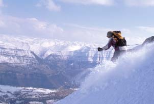
Latest photos from Cedars. View all photos at the Cedars gallery page.
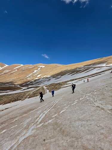 Photo credit: Michel Massoud
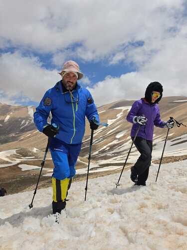 Photo credit: Michel Massoud
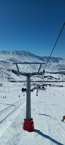 Photo credit: Michel Massoud
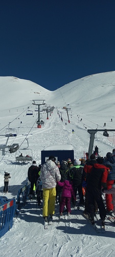 Photo credit: Michel Massoud
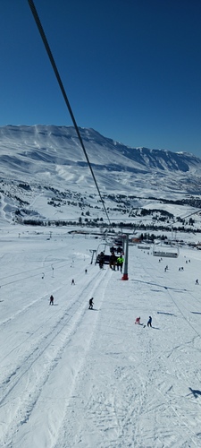 Photo credit: Michel Massoud
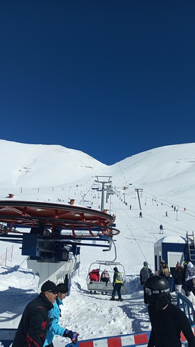 Photo credit: Michel Massoud
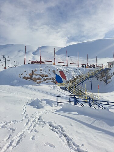 Photo credit: Michel Massoud
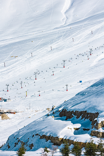 Photo credit: Michel Massoud
Explore Cedars Location Map
Interactive Cedars trail map and piste map. View the piste and trails as well as the surrounding terrain and mountain contours for backcountry action. Find and compare nearby resorts by clicking on the resort markers.

When's the snowiest month to visit Cedars?

Visitor Reviews of Cedars
eMPa from United States writes:
Went after a great 45cm snowfall in Feb 2018. Resort is basic but very nice with a friendly restaurant. They groom some parts, and had most lifts open despite there being not so many people.
Lift tickets were 60k LBP on weekends, 45k LBP on weekdays. Rentals ran 15k LBP per day, and could be negotiated down across multiple days.
Unfortunately, they allowed snowmobiles on the runs which churned up the surface (for better and worse), and caused great noise and air pollution. Still, I would certainly go again for the 1950s "few people live in the world" vibe.
Resorts close to Cedars
Discover ski resorts near Cedars. Click below to view there ski resort guides.
 Mount Hermon
 Nearest