

Global Weekly Snow Roundup #318
Weekly Snow News for the world, updated 11 June 2026: Australia's season begins, Val d’Isère reopens and major snowfall is forecast for the Andes.

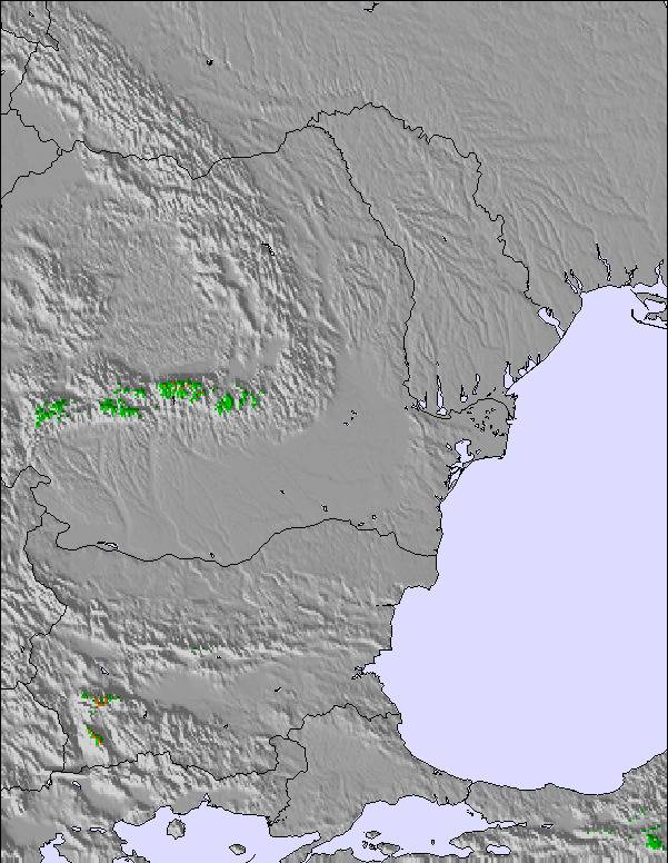
Next 4 days weather summary:Heavy rain (total 23.0mm), heaviest during Thu night. Very mild (max 14°C on Sun afternoon, min 5°C on Fri night). Wind will be generally light. | Days 5-7 weather summary:Moderate rain (total 19.0mm), heaviest on Wed afternoon. Very mild (max 17°C on Mon afternoon, min 11°C on Sun night). Wind will be generally light. | |||||||||||||||
Friday 12 | Saturday 13 | Sunday 14 | Monday 15 | Tuesday 16 | ||||||||||||
night | AM | PM | night | AM | PM | night | AM | PM | night | AM | PM | night | AM | PM | night | |
rain shwrs | rain shwrs | t-storm risk | light rain | clear | cloudy | some clouds | clear | some clouds | clear | clear | some clouds | clear | clear | t-storm risk | rain shwrs | |
km/h | ||||||||||||||||
Snow map | 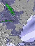 | 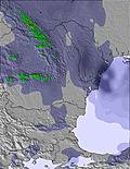 | 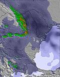 | 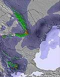 | 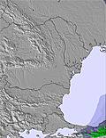 | 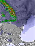 | ||||||||||
— | — | — | — | — | — | — | — | — | — | — | — | — | — | — | — | |
14 | 3 | 4 | 2 | — | — | — | — | — | — | — | — | — | — | 2 | 3 | |
max °C | 12 | 10 | 11 | 8 | 10 | 12 | 9 | 12 | 14 | 12 | 16 | 17 | 13 | 17 | 16 | 13 |
min °C | 10 | 10 | 10 | 5 | 8 | 11 | 6 | 9 | 14 | 11 | 14 | 17 | 12 | 15 | 15 | 11 |
10 | 10 | 9 | 4 | 7 | 10 | 4 | 8 | 14 | 11 | 14 | 17 | 12 | 15 | 15 | 11 | |
80 | 89 | 79 | 92 | 63 | 57 | 79 | 71 | 57 | 53 | 44 | 46 | 64 | 48 | 56 | 75 | |
3800 | 3550 | 3500 | 3200 | 3150 | 3150 | 3350 | 3450 | 3550 | 3800 | 3750 | 3850 | 3800 | 3750 | 3750 | 3700 | |
— | 5:50 | — | — | 5:50 | — | — | 5:50 | — | — | 5:50 | — | — | 5:50 | — | — | |
— | — | — | 9:00 | — | — | 9:00 | — | — | 9:01 | — | — | 9:01 | — | — | 9:01 | |
Go pro and carve into:
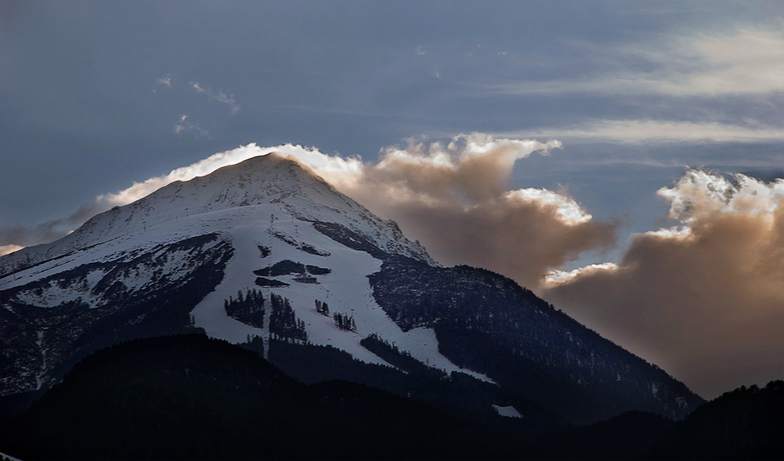
Latest snow reports near Bansko:
| Top snow depth: | — |
|---|---|
| Bottom snow depth: | — |
| Fresh snowfall depth: | — |
| Last snowfall: | 2 May 2026 |
| Snow Alerts | Create Alert |
0.0 | Bluebird Powder days Fresh snow, mostly sunny, light wind. |
|---|---|
0.0 | Powder days Fresh snow, limited sun, any wind. |
0.0 | Bluebird days Average snow, mostly sunny, light wind. |
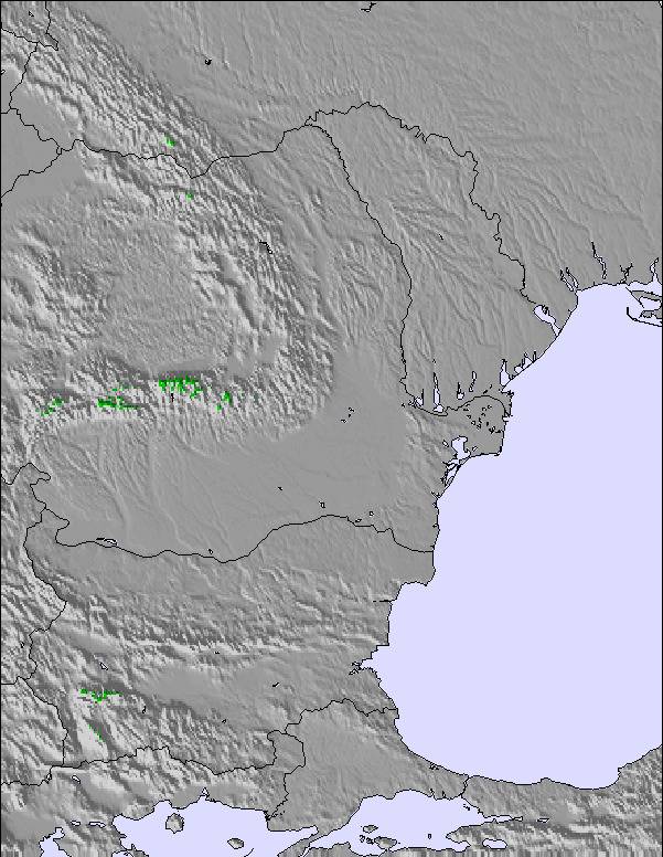
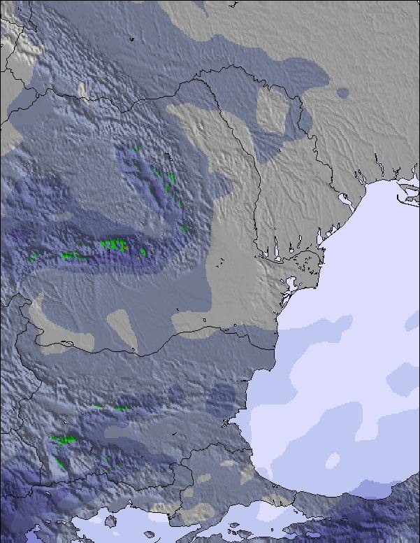
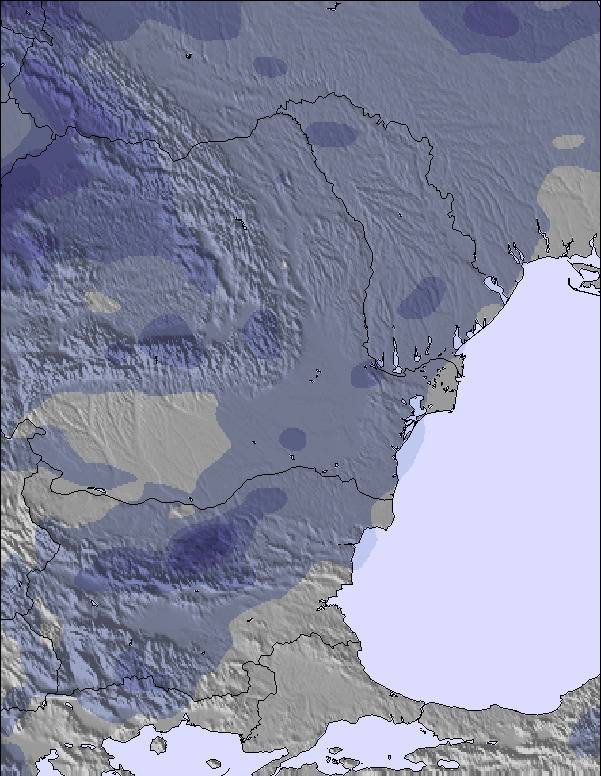
The above table gives the weather forecast for Bansko at the specific elevation of 1795 m. Our sophisticated weather models allow us to provide snow forecasts for the top, middle and bottom ski stations of Bansko. To access the weather forecasts for the other elevations, use the tab navigation above the table. For a wider view of the weather, check out the Weather Map of Bulgaria.
Click here to read further information on freezing levels and how we forecast our temperatures.
Overall 3.6 Based on 220 votes and 362 reviews
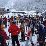
Bansko is a place with huge natural potential when the snow is good, the freeride can be genuinely enjoyable. The mountain itself deserves better. The core issue, in my view, is structural. The resort has expanded aggressively, with a massive number of hotels and beds built over the years, but the ski area and lift infrastructure have not grown proportionally. The result is a clear imbalance between accommodation capacity and mountain capacity. That’s why you see extreme morning congestion at the gondola, overcrowded slopes at peak times, and a generally stressed experience during high season. It feels like the focus has been on rapid construction and short-term returns rather than sustainable resort planning. Food and beverage prices are also very high even compared to France, which is my usual winter destination and don’t always match the level of service provided. It’s disappointing because Bansko could be a truly strong destination in the Balkans. The terrain has potential. But without proper capacity planning, infrastructure expansion, and long-term strategy prioritizing quality over volume, the visitor experience will continue to suffer.
Kris from France writes:
Bansko is a place with huge natural potential when the snow is good, the freeride can be genuinely enjoyable. The mountain itself deserves better.
The core issue, in my view, is structural. The resort has expanded aggressively, with a massive number of hotels and beds built over the years, but the ski area and lift infrastructure have not grown proportionally. The result is a clear imbalance between accommodation capacity and mountain capacity.
That’s why you see extreme morning congestion at the gondola, overcrowded slopes at peak times, and a generally stressed experience during high season. It feels like the focus has been on rapid construction and short-term returns rather than sustainable resort planning.
Food and beverage prices are also very high even compared to France, which is my usual winter destination and don’t always match the level of service provided.
It’s disappointing because Bansko could be a truly strong destination in the Balkans. The terrain has potential. But without proper capacity planning, infrastructure expansion, and long-term strategy prioritizing quality over volume, the visitor experience will continue to suffer.


 Nearest