

Visiting Bansko
Helpful resort information to assist planning your trip.
- Opens12 Dec 2026
- Closes11 Apr 2027
- Accommodation—
- Restaurants | Bars100 | 50
- Nearest Airport Sofia
- Nearest Train Station Bansko Blagoevgrad
- Tourist Office Website
- Tourist Office Phone+359 / 749 / 88911
Bansko Features
The terrain at Bansko includes:
- Halfpipes—
- Terrain Parks1
- X-Country5.0 km
- Ski Hire
What's it like at Bansko resort?
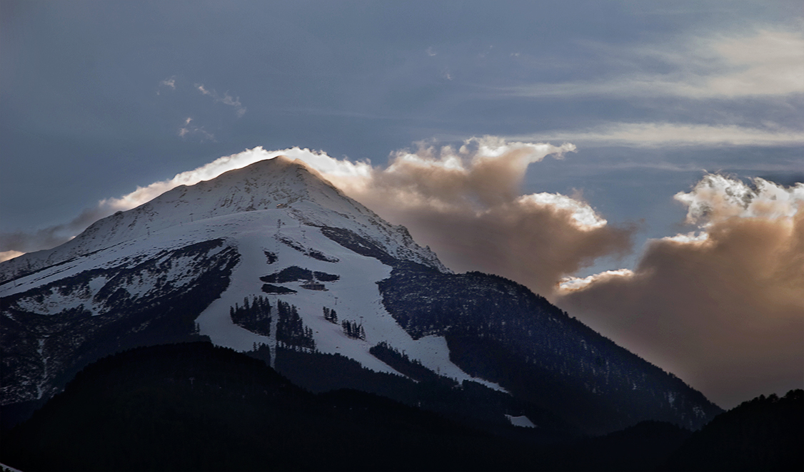
Bansko is 170km south of Sofia and about an hour's drive beyond Borovets. It is in the shadow of the 2,915m peak of Vihren mountain, in the spectacularly beautiful Pirin range. Bansko features 75km of mainly wide, tree-lined slopes in three nearby areas: Shiligarnika, Chalin Valog and Banderishka Poliana. Plentiful off-piste skiing.
Latest photos from Bansko. View all photos at the Bansko gallery page.
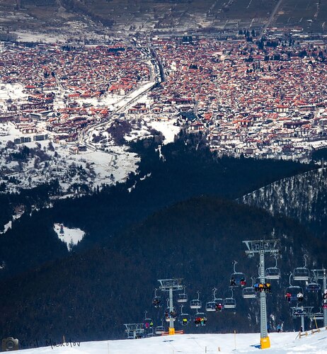 Photo credit: Ski Mania Bansko
 Photo credit: Tomi Nikolov
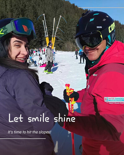 Photo credit: Tomi Nikolov
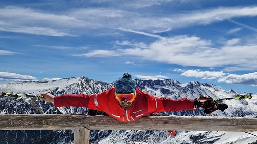 Photo credit: Tomi Nikolov
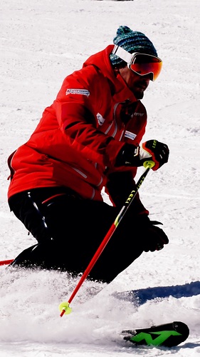 Photo credit: Tomi Nikolov
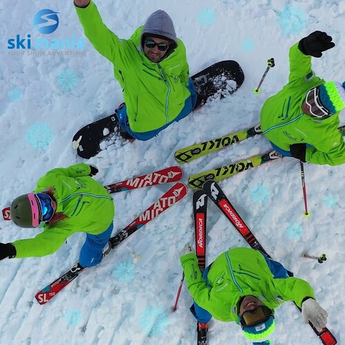 Photo credit: Ski Mania Bansko
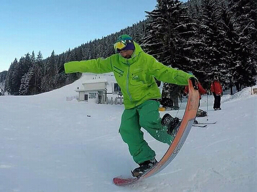 Photo credit: Ski Mania Bansko
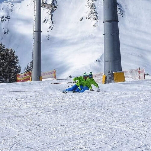 Photo credit: Ski Mania Bansko
Explore Bansko Location Map
Interactive Bansko trail map and piste map. View the piste and trails as well as the surrounding terrain and mountain contours for backcountry action. Find and compare nearby resorts by clicking on the resort markers.

When's the snowiest month to visit Bansko?

Visitor Reviews of Bansko
Kris from France writes:
Bansko is a place with huge natural potential when the snow is good, the freeride can be genuinely enjoyable. The mountain itself deserves better.
The core issue, in my view, is structural. The resort has expanded aggressively, with a massive number of hotels and beds built over the years, but the ski area and lift infrastructure have not grown proportionally. The result is a clear imbalance between accommodation capacity and mountain capacity.
That’s why you see extreme morning congestion at the gondola, overcrowded slopes at peak times, and a generally stressed experience during high season. It feels like the focus has been on rapid construction and short-term returns rather than sustainable resort planning.
Food and beverage prices are also very high even compared to France, which is my usual winter destination and don’t always match the level of service provided.
It’s disappointing because Bansko could be a truly strong destination in the Balkans. The terrain has potential. But without proper capacity planning, infrastructure expansion, and long-term strategy prioritizing quality over volume, the visitor experience will continue to suffer.
Resorts close to Bansko
Discover ski resorts near Bansko. Click below to view there ski resort guides.
 Bezbog Ski CentreLast snow: 1.0 cm Sat 02 May
 Lifts: 2
 Pistes: 19 km away
- Kartala Ski ResortLast snow: 2.0 cm Sat 02 MayLifts: 3Pistes: —30 km away
- MalyovitsaLast snow: 3.0 cm Sat 02 MayLifts: 3Pistes: —43 km away
- BorovetsLast snow: 6.0 cm Sat 02 MayLifts: 14Pistes: 2450 km away
 LailiasLast snow: 2.0 cm Sat 02 MayLifts: 2Pistes: —59 km away
 Nearest