


Portillo Re-Opens To Guests Arriving By Helicopter
Chile’s famous Portillo ski resort is reported to have re-opened to guests arriving by helicopter after being cut off by road for more than two weeks by over 6m/20 feet of snowfall.

Next 4 days weather summary:Mostly dry. Warm (max 24°C on Tue afternoon, min 18°C on Sun night). Wind will be generally light. | Days 5-7 weather summary:Mostly dry. Warm (max 25°C on Fri afternoon, min 19°C on Wed night). Wind will be generally light. | |||||||||||||||
Monday 3 | Tuesday 4 | Wednesday 5 | Thursday 6 | Friday 7 | ||||||||||||
night | AM | PM | night | AM | PM | night | AM | PM | night | AM | PM | night | AM | PM | night | |
clear | clear | clear | clear | clear | clear | clear | clear | clear | clear | clear | clear | clear | clear | clear | clear | |
km/h | ||||||||||||||||
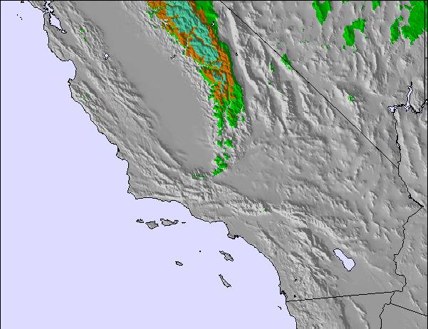
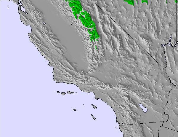
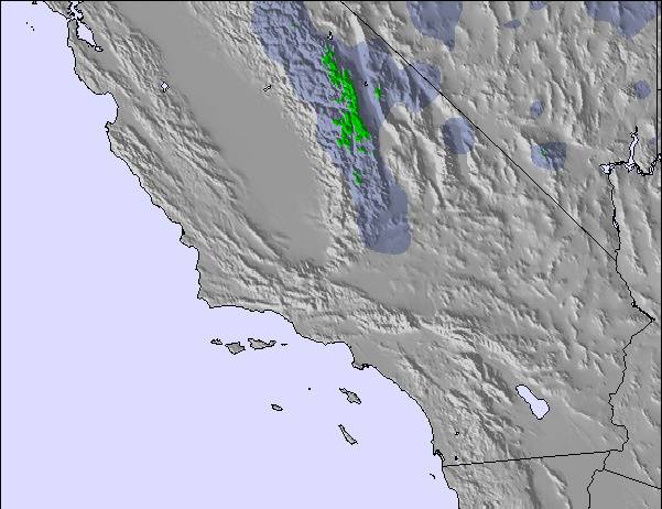
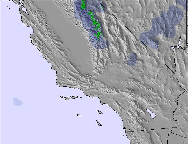
Snow map | 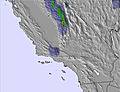 | 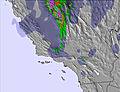 | 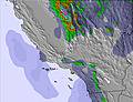 | 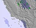 | 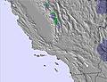 | 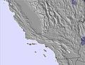 | ||||||||||
— | — | — | — | — | — | — | — | — | — | — | — | — | — | — | — | |
mm | — | — | — | — | — | — | — | — | — | — | — | — | — | — | — | — |
max °C | 19 | 21 | 23 | 20 | 22 | 24 | 21 | 22 | 23 | 20 | 22 | 24 | 21 | 23 | 25 | 22 |
min °C | 18 | 20 | 23 | 19 | 20 | 23 | 19 | 21 | 23 | 19 | 20 | 23 | 20 | 21 | 24 | 20 |
chill °C | 18 | 20 | 23 | 19 | 20 | 23 | 19 | 21 | 23 | 19 | 20 | 23 | 20 | 21 | 24 | 20 |
Humid % | 10 | 8 | 14 | 14 | 10 | 14 | 18 | 16 | 17 | 24 | 22 | 23 | 28 | 24 | 22 | 25 |
Freeze m | 5500 | 5350 | 5400 | 5400 | 5400 | 5450 | 5450 | 5350 | 5400 | 5300 | 5350 | 5400 | 5450 | 5450 | 5500 | 5500 |
— | 6:03 | — | — | 6:03 | — | — | 6:05 | — | — | 6:05 | — | — | 6:07 | — | — | |
— | — | — | 8:05 | — | — | 8:04 | — | — | 8:02 | — | — | 8:01 | — | — | 8:00 | |
Go pro and carve into:
Avalanche information: National Avalanche Center
Latest snow reports near Yosemite-Badger Pass Ski Area:
| Top snow depth: | — |
|---|---|
| Bottom snow depth: | — |
| Fresh snowfall depth: | — |
| Last snowfall: | 28 May 2026 |
| Snow Alerts | Create Alert |
0.0 | Bluebird Powder days Fresh snow, mostly sunny, light wind. |
|---|---|
0.0 | Powder days Fresh snow, limited sun, any wind. |
0.0 | Bluebird days Average snow, mostly sunny, light wind. |
The above table gives the weather forecast for Yosemite-Badger Pass Ski Area at the specific elevation of 2438 m. Our sophisticated weather models allow us to provide snow forecasts for the top, middle and bottom ski stations of Yosemite-Badger Pass Ski Area. To access the weather forecasts for the other elevations, use the tab navigation above the table. For a wider view of the weather, check out the Weather Map of United States.
Click here to read further information on freezing levels and how we forecast our temperatures.
Resort name is also written as Badger Pass Ski Area.
Badger Pass Ski Area is a great ski resort for beginners. As one of the only ski resorts located in a National Park it offers the novelty of skiing in a National Park as well as offering lots of great cross country and backcountry skiing. Badger may be small but there is plenty of challenge if you are willing to search for it. The locals know that Badger is a hidden gem. Short lift lines and 2 new state of the art Doppelmeyer lifts convey you to the top in style. The Badger Pass Ski school is excellent at teaching kids and adults alike to ski. Badger (Badger Pass Ski Area) is the original ski resort in California and the oldest ski resort on the west coast. So come ski at a piece of history and enjoy the beauty of Yosemite National Park.
Jennifer from United States writes:
Badger Pass Ski Area is a great ski resort for beginners. As one of the only ski resorts located in a National Park it offers the novelty of skiing in a National Park as well as offering lots of great cross country and backcountry skiing. Badger may be small but there is plenty of challenge if you are willing to search for it. The locals know that Badger is a hidden gem. Short lift lines and 2 new state of the art Doppelmeyer lifts convey you to the top in style. The Badger Pass Ski school is excellent at teaching kids and adults alike to ski. Badger (Badger Pass Ski Area) is the original ski resort in California and the oldest ski resort on the west coast. So come ski at a piece of history and enjoy the beauty of Yosemite National Park.
Click here to submit your own review of Yosemite-Badger Pass Ski Area

 Nearest