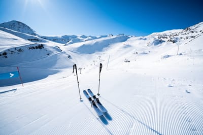
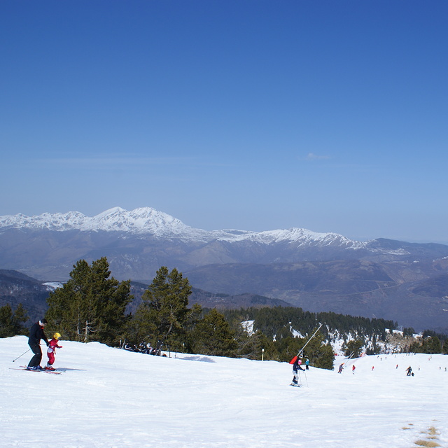
The snow forecast for Ax 3 Domaines is: Heavy rain (total 23.0mm), heaviest during Fri afternoon. Mild temperatures (max 7°C on Sat morning, min 1°C on Sat night). Wind will be generally light.
Ax 3 Domaines Weather (Next 3 days): The snow forecast for Ax 3 Domaines is: Heavy rain (total 23.0mm), heaviest during Fri afternoon. Mild temperatures (max 7°C on Sat morning, min 1°C on Sat night). Wind will be generally light.
Ax 3 Domaines Weather (Days 4-6): Moderate rain (total 15.0mm) heaviest on Wed afternoon, then becoming colder with a dusting of snow on Wed night. Mild temperatures (max 7°C on Mon morning, min 1°C on Mon night). Wind will be generally light.
Issued by Snow-Forecast.com at:12 pm (local time) / 06 Mar 2026
Ax 3 Domaines Weather
(Next 3 days):
The snow forecast for Ax 3 Domaines is: Heavy rain (total 23.0mm), heaviest during Fri afternoon. Mild temperatures (max 7°C on Sat morning, min 1°C on Sat night). Wind will be generally light.
Ax 3 Domaines Weather (Days 4-6):
Moderate rain (total 15.0mm) heaviest on Wed afternoon, then becoming colder with a dusting of snow on Wed night. Mild temperatures (max 7°C on Mon morning, min 1°C on Mon night). Wind will be generally light.
Ax 3 Domaines Weather (Days 7-16):
Interested in the 16-day Forecast? Unlock the full forecast and many more features by becoming a Pro member.
Heavy rain (total 23.0mm), heaviest during Fri afternoon. Mild temperatures (max 7°C on Sat morning, min 1°C on Sat night). Wind will be generally light.
Next 4-6 days weather summary:
Moderate rain (total 15.0mm) heaviest on Wed afternoon, then becoming colder with a dusting of snow on Wed night. Mild temperatures (max 7°C on Mon morning, min 1°C on Mon night). Wind will be generally light.
It is raining moderately in Grandvalira-Soldeu. Not much wind here, just a light breeze. About freezing. No new snow. Lifts are all open. Wet snow on the pistes. Icy crust off-piste. from Grandvalira-Soldeu
The above table gives the weather forecast for Ax 3 Domaines at the specific elevation of 1400 m. Our sophisticated weather models allow us to provide snow forecasts for the top, middle and bottom ski stations of Ax 3 Domaines. To access the weather forecasts for the other elevations, use the tab navigation above the table. For a wider view of the weather, check out the Weather Map of France.
Click here to read further information on freezing levels and how we forecast our temperatures.
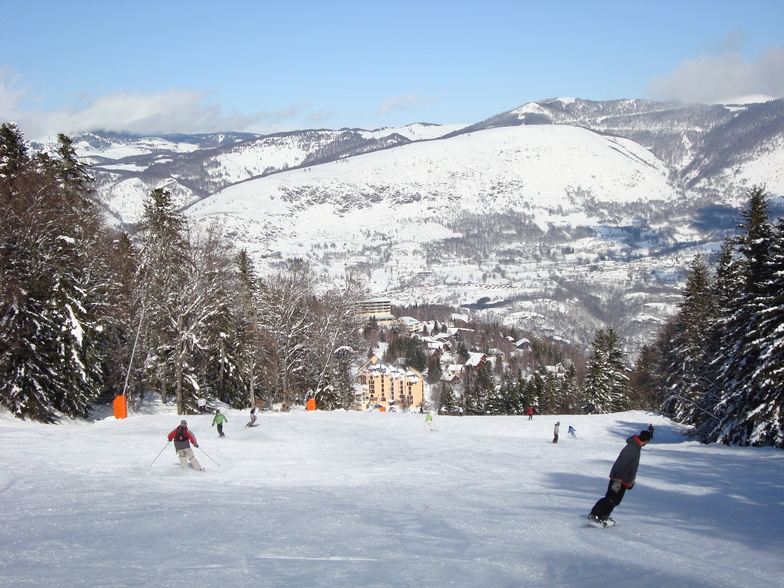
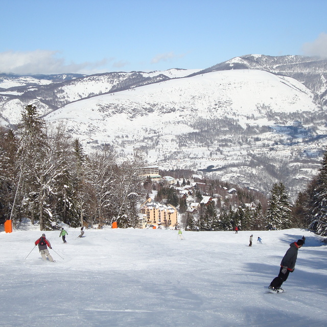
December 2014: Ax Les Thermes is a great resort with some great value for money accommodation and great skiing for all abilities served adequately by the gondola and chairlifts. We stayed there for a full week in Feb 2013; fabulous. We have also driven in from our home to ski on a daily basis; Christmas and New Year 2013, again, great.
This was our second New Year of driving as we did last year. We drove in to ski but this time on a daily basis. Unfortunately, so did half the population of France on the both days we tried between Christmas and New Year. Sadly, there is almost no parking and the whole town, on both days, was gridlocked, it taking over 2 hours to drive the final 2 miles only to have to leave again without skiing as there was no parking. The roads had not been cleared and the police, directing the traffic, were all stood in one spot.
The current system is definitely broken and should be serviced by a one way system, adequate parking and a park and ride facility. How difficult would that be? The car parks were full of snow which made car parking impossible. A simple sign such as car park full may have helped!
One final comment, which is a serious concern, the gondola queues are long and having stood in the queue all of 10 mins, after a hard day skiing, it is not appreciated to be then not allowed an option to wait for the next gondola so I could be seated. Despite my protest that this would separate me from my 9 year old child I was then pushed and physically forced onto it.
Great value, great skiing, lovely town but be warned! Come on Ax Les Thermes, you really need to get this sorted.
Free Snow-Forecast.com weather widget for your website
Embed the Ax 3 Domaines weather widget on your site for free. It provides a weekly snapshot of snow and rain conditions across all elevations. Follow the two quick steps to grab your custom code and paste it into your site. Choose between metric or imperial units. Click here to get the code.


 Nearest