

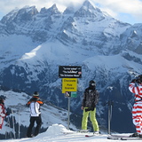
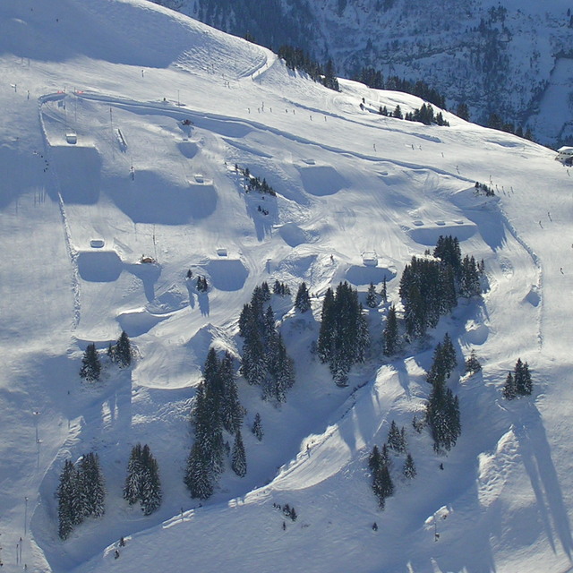
Portillo Storm Snowfall Total Passes 5m / 17 Feet
A snow storm that has now continued for nine days has taken Chilean ski resort Portillo to a snowfall total of 5.2 metres (17 feet) so far, with more snow forecast.

Next 3 days weather summary:Some drizzle, heaviest during Tue night. Warm (max 31°C on Thu afternoon, min 17°C on Tue night). Wind will be generally light. | Days 4-6 weather summary:Light rain (total 7.0mm), mostly falling on Fri night. Warm (max 30°C on Fri afternoon, min 17°C on Sat night). Wind will be generally light. | ||||||||||||||||
Tue 28 | Wednesday 29 | Thursday 30 | Friday 31 | Saturday 1 | Sunday 2 | ||||||||||||
PM | night | AM | PM | night | AM | PM | night | AM | PM | night | AM | PM | night | AM | PM | night | |
clear | rain shwrs | clear | clear | clear | clear | some clouds | some clouds | some clouds | some clouds | light rain | clear | clear | rain shwrs | clear | some clouds | clear | |
km/h | |||||||||||||||||
Snow map |  |  |  |  |  |  | |||||||||||
— | — | — | — | — | — | — | — | — | — | — | — | — | — | — | — | — | |
mm | — | 1 | — | — | — | — | — | — | — | — | 4 | — | — | 3 | — | — | — |
max °C | 26 | 22 | 26 | 28 | 24 | 29 | 31 | 26 | 27 | 30 | 18 | 26 | 28 | 24 | 27 | 29 | 25 |
min °C | 26 | 17 | 20 | 28 | 19 | 21 | 30 | 20 | 22 | 28 | 18 | 20 | 28 | 17 | 20 | 28 | 20 |
chill °C | 26 | 17 | 20 | 28 | 19 | 21 | 30 | 20 | 22 | 28 | 18 | 20 | 28 | 17 | 20 | 28 | 20 |
Humid % | 43 | 61 | 41 | 25 | 30 | 21 | 21 | 43 | 32 | 33 | 53 | 39 | 34 | 65 | 40 | 33 | 43 |
Freeze m | 4600 | 4500 | 4400 | 4550 | 4750 | 4650 | 4700 | 4750 | 4650 | 4650 | 4550 | 4350 | 4550 | 4600 | 4650 | 4750 | 4650 |
— | — | 6:09 | — | — | 6:11 | — | — | 6:11 | — | — | 6:13 | — | — | 6:15 | — | — | |
— | 9:07 | — | — | 9:07 | — | — | 9:06 | — | — | 9:05 | — | — | 9:02 | — | — | 9:01 | |
Go pro and carve into:
Avalanche information: European Avalanche Warning Services (EAWS)
Latest snow reports near Avoriaz:
No information received. Another glorious day. from La Giettaz en Aravis
| Top snow depth: | 0 cm |
|---|---|
| Bottom snow depth: | 0 cm |
| Fresh snowfall depth: | — |
| Last snowfall: | 16 May 2026 |
| Snow Alerts | Create Alert |
0.0 | Bluebird Powder days Fresh snow, mostly sunny, light wind. |
|---|---|
0.0 | Powder days Fresh snow, limited sun, any wind. |
0.0 | Bluebird days Average snow, mostly sunny, light wind. |
The above table gives the weather forecast for Avoriaz at the specific elevation of 1144 m. Our sophisticated weather models allow us to provide snow forecasts for the top, middle and bottom ski stations of Avoriaz. To access the weather forecasts for the other elevations, use the tab navigation above the table. For a wider view of the weather, check out the Weather Map of France.
Click here to read further information on freezing levels and how we forecast our temperatures.
Overall 4.2 Based on 63 votes and 43 reviews
If you are looking for a totally ski in/out experience, with short airport transfers, then you cannot go wrong with a visit to Avoriaz. Nightlife and apres is limited, as it is a very family focused resort. But there is still a great buzz and ambience with music pumping out at La Folie Douce, which is pretty central and within staggering or skiing distance to all residencies. You will not be disappointed with the ski coverage on the Portes du Soleil lift pass, that takes you into Switzerland. Snow conditions have always been perfect when I have visited. Usually big dumps before I arrive and clear blue skies for my week. I think this may be sheer luck. Eating and drinking out is what it is .. you are in France. Although this year I have booked into the Club Belambra Hotel on a fully inclusive deal. One of the very few hotels in this resort. Fingers crossed, it is worth it. No matter where you decide to go, happy and safe skiing to you all.
Liam from Ireland writes:
If you are looking for a totally ski in/out experience, with short airport transfers, then you cannot go wrong with a visit to Avoriaz.
Nightlife and apres is limited, as it is a very family focused resort. But there is still a great buzz and ambience with music pumping out at La Folie Douce, which is pretty central and within staggering or skiing distance to all residencies.
You will not be disappointed with the ski coverage on the Portes du Soleil lift pass, that takes you into Switzerland.
Snow conditions have always been perfect when I have visited. Usually big dumps before I arrive and clear blue skies for my week. I think this may be sheer luck.
Eating and drinking out is what it is .. you are in France.
Although this year I have booked into the Club Belambra Hotel on a fully inclusive deal. One of the very few hotels in this resort. Fingers crossed, it is worth it.
No matter where you decide to go, happy and safe skiing to you all.


 Nearest