Next snow in Ski Arpa: 0.5cm on Sat 25th (after 11 AM local time)
View forecast
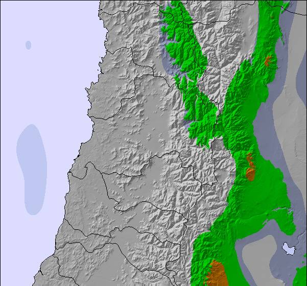
Ski Arpaat 3215 m altitude
Issued by Snow-Forecast.com at:7 am (local time) / 25 Jul 2026
Last 6 daysScroll left for last 6 daysNow
Next 3 days weather summary:
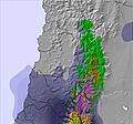
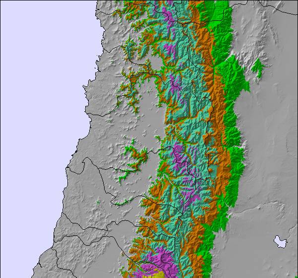
A dusting of snow on Sat morning. Freezing level rising with drizzle on Sat afternoon. Freeze-thaw conditions (max 2°C on Sat afternoon, min -3°C on Mon night). Wind will be generally light.
Days 4-6 weather summary:
A light covering of new snow, mostly falling on Tue afternoon. Becoming milder with light rain (total 3.0mm) on Thu morning. Freeze-thaw conditions (max 3°C on Thu morning, min -5°C on Tue afternoon). Wind will be generally light.
The above table gives the weather forecast for Ski Arpa at the specific elevation of 3215 m. Our sophisticated weather models allow us to provide snow forecasts for the top, middle and bottom ski stations of Ski Arpa. To access the weather forecasts for the other elevations, use the tab navigation above the table. For a wider view of the weather, check out the Weather Map of Chile.
Click here to read further information on freezing levels and how we forecast our temperatures.
I was at Arpa last July and the whole experience was really great. From the stay at Casa San Regis in Los Andes to the "choripan" and beer after the ski at the refugio, everything was truly unforgettable. The terrain is large enough to find lots of different lines, even without good snow (2 weeks with no new snow). Tony and his crew are both very professional and friendly. Their care for safety also impressed me greatly.
Much better 2 days of Ski Arpa than 7 days at any Chilean resort that I know. A must do ski trip in South America.
Free Snow-Forecast.com weather widget for your website
Embed the Ski Arpa weather widget on your site for free. It provides a weekly snapshot of snow and rain conditions across all elevations. Follow the two quick steps to grab your custom code and paste it into your site. Choose between metric or imperial units. Click here to get the code.


 Nearest